
National Park · Thailand
Tai Romyen National Park
Tai Romyen National Park is a national park in Thailand, established in 1991.
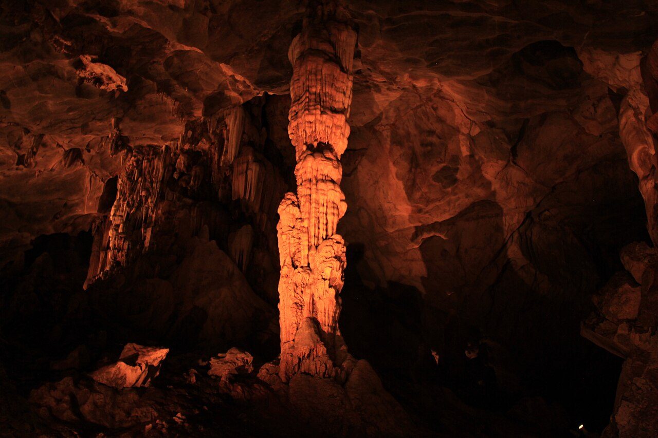
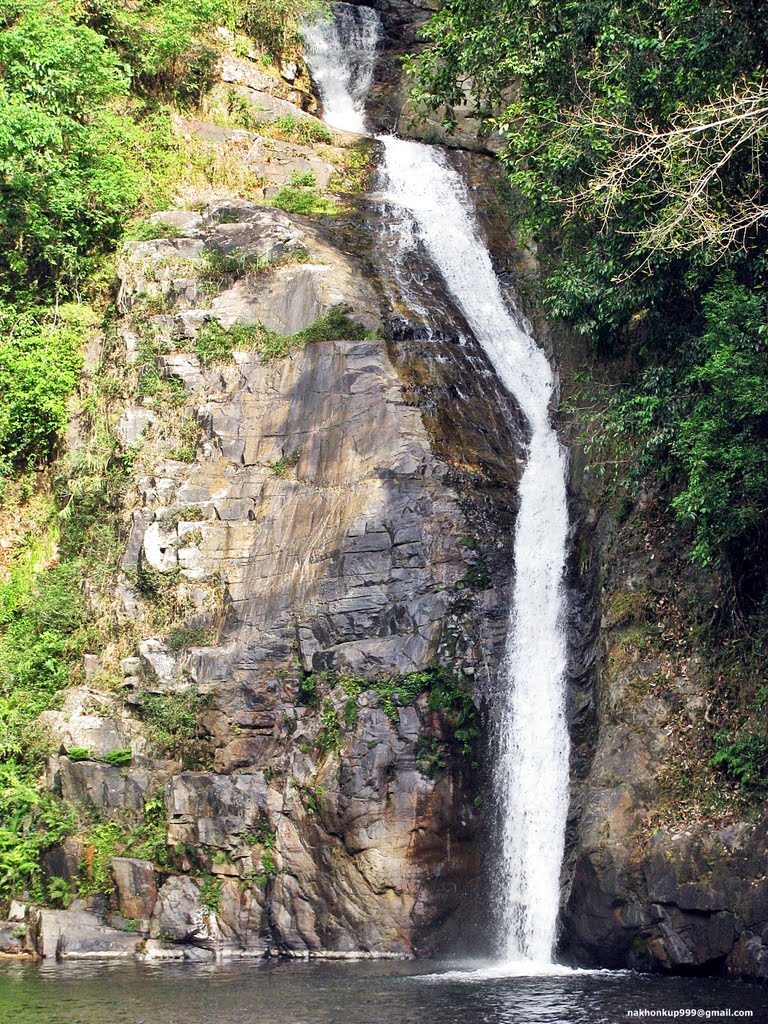
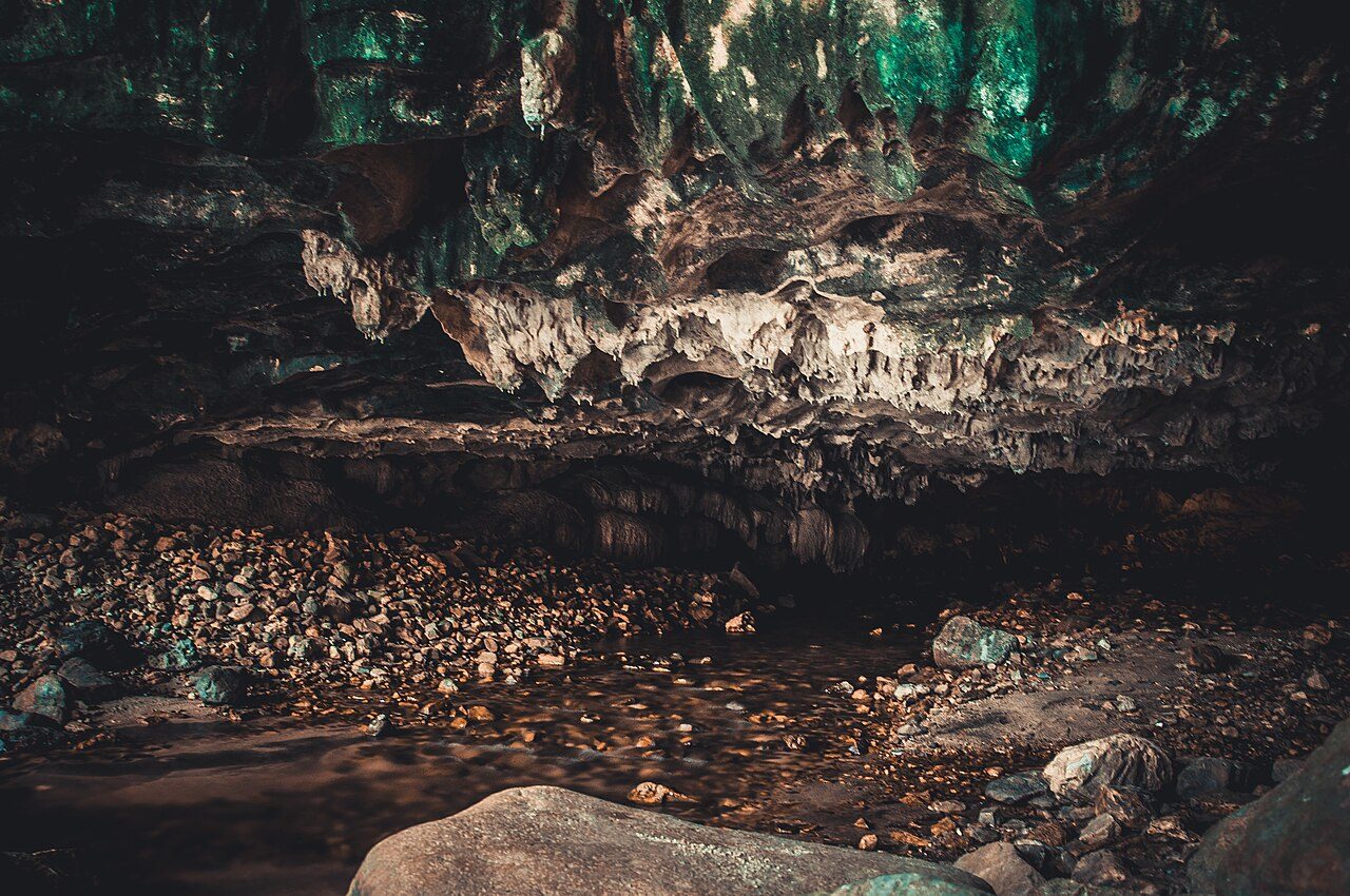
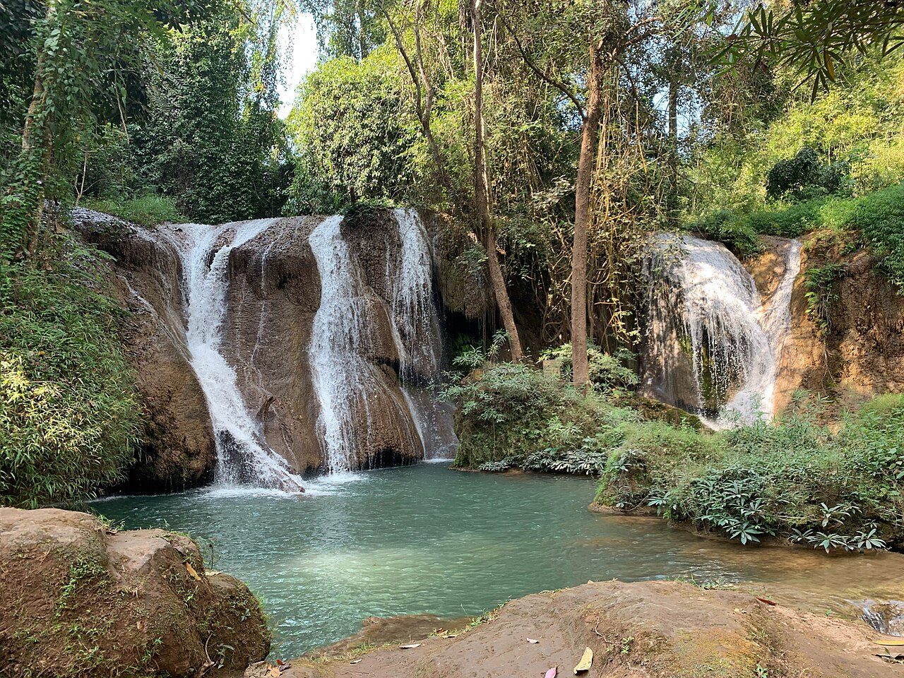
Photo: Puisupaporn via Wikimedia Commons, CC BY-SA 4.0. Cropped and resized for display.
Park facts
| Park type | National Park |
|---|---|
| Location | Thailand |
| Established | 1991 |
| Coordinates | 8.8667° N, 99.4500° E |
Every fact above is taken from the sources listed below; anything no source states is left blank rather than guessed.
About Tai Romyen National Park
Tai Romyen National Park (Thai: ใต้ร่มเย็น) is in the east of Surat Thani Province in southern Thailand. The park consists of the northern end of the Nakhon Si Thammarat mountain range and is mostly covered with forests. It was established on 31 December 1991 and covers an area of 265,625 rai ~ 425 square kilometres (164 sq mi) in the districts Kanchanadit, Ban Na San, and Wiang Sa. The area, especially around the hill, Khao Chong Chang, was a stronghold of communist rebels in the 1980s. From here they succeeded in killing Princess Vibhavadi Rangsit in 1977 as well as the vice-governor of Surat Thani.
Description from the park's Wikipedia article (CC BY-SA), linked in the sources below.
Airports near this park
The airports a visitor would actually fly into, nearest first — each link opens its profile on our sister site AirportProfiles.
- Krabi International Airport (KBV) · Krabi, Thailand · 61.9 miles away
- Samui International Airport (USM) · Na Thon (Ko Samui Island), Thailand · 62.9 miles away
- Phuket International Airport (HKT) · Phuket, Thailand · 93.3 miles away
Parks nearby
More parks in Thailand

Frequently asked questions
Where is Tai Romyen National Park?
Tai Romyen National Park is in Thailand (8.8667° N, 99.4500° E).
When was Tai Romyen National Park established?
Tai Romyen National Park was established in 1991, per the source listed at the foot of this page.
Sources
- https://www.wikidata.org/wiki/Q6652926 — Wikidata (CC0) — name, country, coordinates, area, established year, highest point where stated.
- https://en.wikipedia.org/wiki/Tai_Romyen_National_Park — Wikipedia article — description (CC BY-SA).