
National Park · Thailand
Tarutao National Park
Tarutao National Park is a national park in Thailand, covering 64,742 acres (26,200 ha), established in 1974.
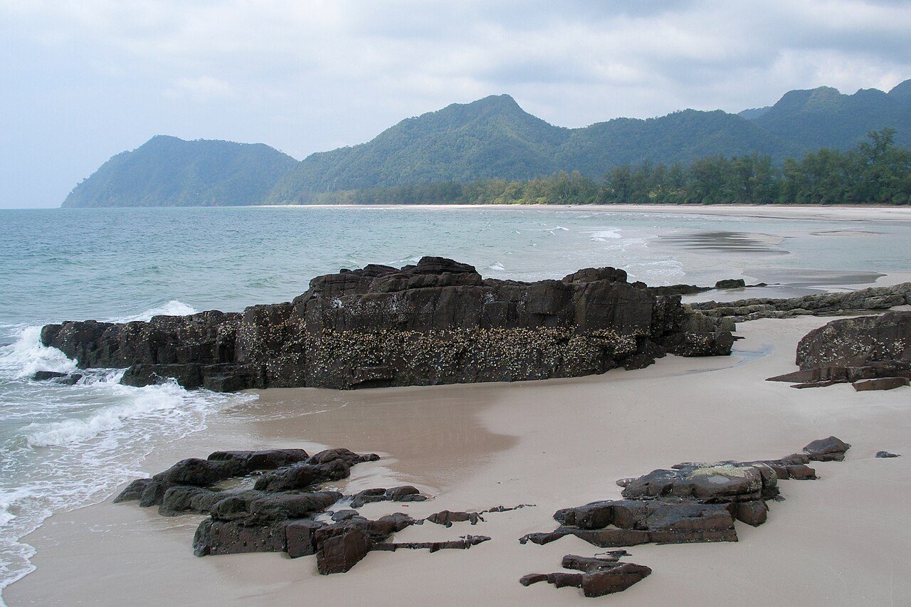
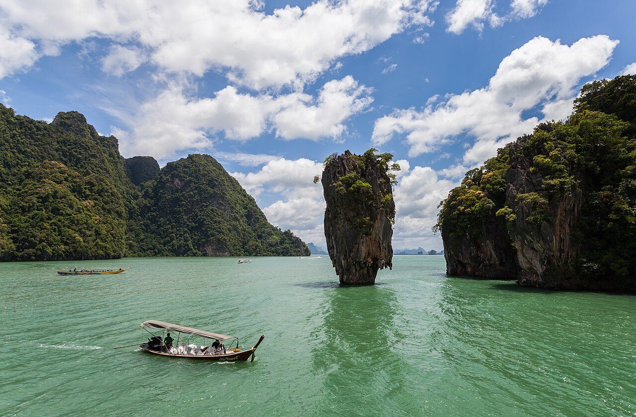
Photo: Vyacheslav Argenberg via Wikimedia Commons, CC BY 4.0. Cropped and resized for display.
Park facts
| Park type | National Park |
|---|---|
| Location | Thailand |
| Area | 64,742 acres (26,200 ha) |
| Established | 1974 |
| Coordinates | 6.5953° N, 99.6447° E |
Every fact above is taken from the sources listed below; anything no source states is left blank rather than guessed.
About Tarutao National Park
Tarutao National Park (Thai: อุทยานแห่งชาติตะรุเตา) consists of 51 islands in the Strait of Malacca, off the coast of Satun Province of southern Thailand. The Tarutao National Park consists of two island groups: Tarutao (Thai: หมู่เกาะตะรุเตา, Thai pronunciation: [mùː kɔ̀ʔ tàʔ.rúʔ.taw] or [ta.ru.taw]) and Adang-Rawi (Thai: หมู่เกาะอาดัง-ราวี, Thai pronunciation: [mùː kɔ̀ʔ ʔaːdaŋ raːwiː]), which are scattered 20 to 70 km off the coast. The park covers an area of 931,250 rai or 1,490 square kilometres (580 sq mi) of which 1,260 square kilometres (490 sq mi) is ocean and 230 square kilometres (89 sq mi) is land.
Description from the park's Wikipedia article (CC BY-SA), linked in the sources below.
Airports near this park
The airports a visitor would actually fly into, nearest first — each link opens its profile on our sister site AirportProfiles.
- Langkawi International Airport (LGK) · Langkawi, Malaysia · 19.2 miles away
- Hat Yai International Airport (HDY) · Hat Yai, Thailand · 56.4 miles away
- Penang International Airport (PEN) · Penang, Malaysia · 99.7 miles away
Parks nearby
More parks in Thailand

Frequently asked questions
Where is Tarutao National Park?
Tarutao National Park is in Thailand (6.5953° N, 99.6447° E).
When was Tarutao National Park established?
Tarutao National Park was established in 1974, per the source listed at the foot of this page.
How big is Tarutao National Park?
Tarutao National Park covers 64,742 acres (26,200 ha).
Sources
- https://www.wikidata.org/wiki/Q541725 — Wikidata (CC0) — name, country, coordinates, area, established year, highest point where stated.
- https://en.wikipedia.org/wiki/Tarutao_National_Park — Wikipedia article — description (CC BY-SA).