
National Park · Brunei
Ulu Temburong National Park
Ulu Temburong National Park is a national park in Brunei, covering 135,908 acres (55,000 ha), established in 1991.
National Park · Brunei
No freely licensed photograph of this park is in our library yet — rather than borrow a picture of somewhere else, this profile leads with its verified facts.
Park facts
| Park type | National Park |
|---|---|
| Location | Brunei |
| Area | 135,908 acres (55,000 ha) |
| Established | 1991 |
| Coordinates | 4.4780° N, 115.2080° E |
Every fact above is taken from the sources listed below; anything no source states is left blank rather than guessed.
About Ulu Temburong National Park
Ulu Temburong National Park is the first national park to be established in Brunei, protected since 1991. The park is in Temburong District in eastern Brunei, and covers about 40% of the district in the south at 550 square kilometres (210 sq mi). It is within the Batu Apoi Forest Reserve. The park contains unspoiled jungle and is known as the "Green Jewel of Brunei", described as "the finest example of the sultanate's successful forest protection policy". The principal rivers are the Temburong and Belalong Rivers. It is an important ecotourism centre in Brunei and hosts the Ulu Ulu Resort.
Description from the park's Wikipedia article (CC BY-SA), linked in the sources below.
Airports near this park
The airports a visitor would actually fly into, nearest first — each link opens its profile on our sister site AirportProfiles.
- Brunei International Airport (BWN) · Bandar Seri Begawan, Brunei · 37.5 miles away
- Kota Kinabalu International Airport (BKI) · Kota Kinabalu, Malaysia · 116.0 miles away
Parks nearby
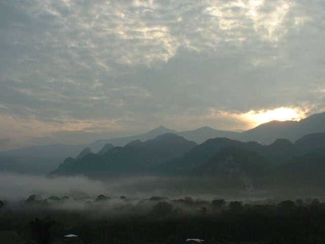
Gunung Mulu National Park
Pulong Tau National Park
Lambir Hills National Park
Loagan Bunut National Park
Pulau Tiga National Park
Miri-Sibuti Coral Reef National Park
Frequently asked questions
Where is Ulu Temburong National Park?
Ulu Temburong National Park is in Brunei (4.4780° N, 115.2080° E).
When was Ulu Temburong National Park established?
Ulu Temburong National Park was established in 1991, per the source listed at the foot of this page.
How big is Ulu Temburong National Park?
Ulu Temburong National Park covers 135,908 acres (55,000 ha).
Sources
- https://www.wikidata.org/wiki/Q9055985 — Wikidata (CC0) — name, country, coordinates, area, established year, highest point where stated.
- https://en.wikipedia.org/wiki/Ulu_Temburong_National_Park — Wikipedia article — description (CC BY-SA).