
National Park · Malaysia
Pulau Tiga National Park
Pulau Tiga National Park is a national park in Malaysia, established in 1978.
National Park · Malaysia
No freely licensed photograph of this park is in our library yet — rather than borrow a picture of somewhere else, this profile leads with its verified facts.
Park facts
| Park type | National Park |
|---|---|
| Location | Malaysia |
| Established | 1978 |
| Coordinates | 5.7167° N, 115.6500° E |
Every fact above is taken from the sources listed below; anything no source states is left blank rather than guessed.
About Pulau Tiga National Park
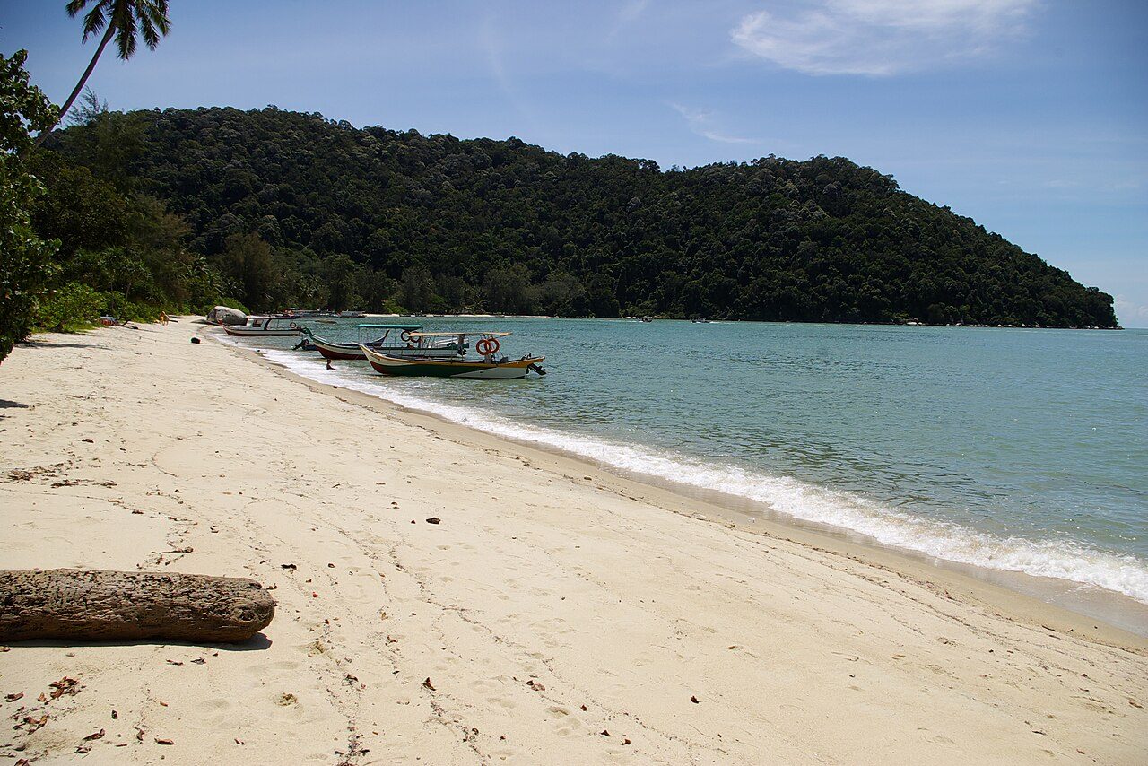
Tiga Island Park was established in 1978, although the area has been under protection as a forest reserve since 1933. It is located north of Kuala Penyu, opposite the swampy Klias Peninsula, in Sabah, Malaysia. The park covers 158 square kilometres of mostly ocean, containing the 3 islands of Tiga, Kalampunian Besar and Kalampunian Damit. The islands were formed in 1897 by the eruption of mud volcanos. Tiga Island is now covered in dense vegetation; however volcanic activity continues in the form of bubbling mud and methane gas venting, although the last major outpouring of mud was in the early 1960s.
Description from the park's Wikipedia article (CC BY-SA), linked in the sources below.
Planning your visit
What to do
Airports near this park
The airports a visitor would actually fly into, nearest first — each link opens its profile on our sister site AirportProfiles.
- Kota Kinabalu International Airport (BKI) · Kota Kinabalu, Malaysia · 31.2 miles away
- Brunei International Airport (BWN) · Bandar Seri Begawan, Brunei · 72.9 miles away
Parks nearby
More parks in Malaysia
Frequently asked questions
Where is Pulau Tiga National Park?
Pulau Tiga National Park is in Malaysia (5.7167° N, 115.6500° E).
When was Pulau Tiga National Park established?
Pulau Tiga National Park was established in 1978, per the source listed at the foot of this page.
Sources
- https://www.wikidata.org/wiki/Q7259254 — Wikidata (CC0) — name, country, coordinates, area, established year, highest point where stated.
- https://en.wikipedia.org/wiki/Tiga_Island_National_Park — Wikipedia article — description (CC BY-SA).