
Provincial Park · Canada
Wheatley Provincial Park
Wheatley Provincial Park is a provincial park in Canada, covering 596 acres (241 ha), established in 1971.
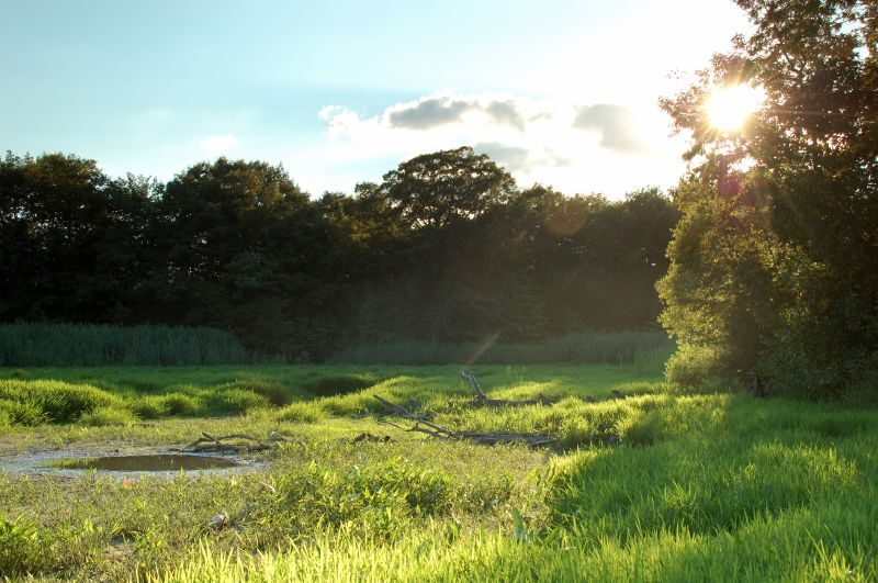
Photo: John via Wikimedia Commons, CC BY 2.0. Cropped and resized for display.
Park facts
| Park type | Provincial Park |
|---|---|
| Location | Canada |
| Area | 596 acres (241 ha) |
| Established | 1971 |
| Coordinates | 42.0900° N, 82.4472° W |
Every fact above is taken from the sources listed below; anything no source states is left blank rather than guessed.
About Wheatley Provincial Park
Wheatley Provincial Park is a protected area in the municipality of Chatham–Kent in Southwestern Ontario, Canada. It is located on Lake Erie near the community of Wheatley and occupies an area of 241 hectares (596 acres). Visitors to nearby Point Pelee National Park often camp at the park. A number of small creeks flow through the park which provide opportunities for canoeing and viewing waterfowl, though over the past 10 years the inlet and creeks that dominate the park have mostly dried up.
Description from the park's Wikipedia article (CC BY-SA), linked in the sources below.
Planning your visit
What to do
Like Wheatley Provincial Park? Visit Wheatley Provincial Park’s official park page for hours and current conditions before you travel.
Airports near this park
The airports a visitor would actually fly into, nearest first — each link opens its profile on our sister site AirportProfiles.
- Windsor International Airport (YQG) · Windsor, Canada · 29.0 miles away
- Detroit Metropolitan Wayne County Airport (DTW) · Detroit, United States · 47.2 miles away
- Cleveland Hopkins International Airport (CLE) · Cleveland, United States · 56.1 miles away
Parks nearby
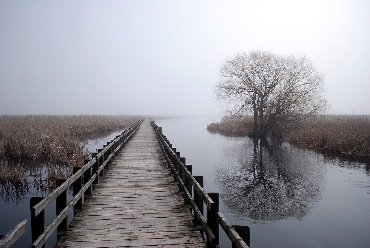
Point Pelee National Park
Rondeau Provincial Park
William G. Milliken State Park and Harbor
Middle Bass Island State Park
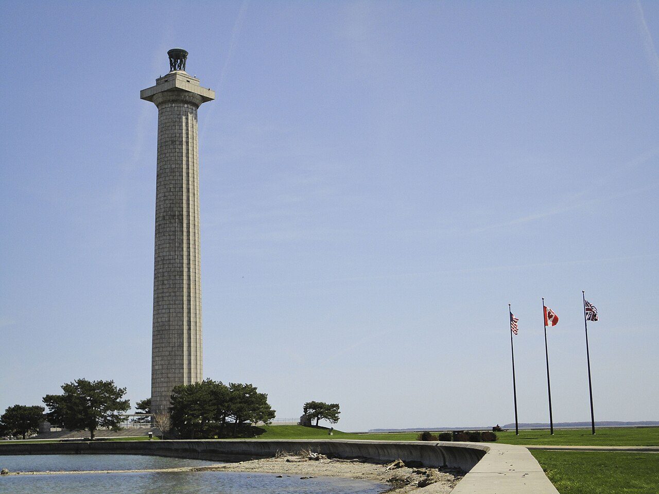
Perry's Victory and International Peace Memorial
Kelleys Island State Park
More parks in Canada









Frequently asked questions
Where is Wheatley Provincial Park?
Wheatley Provincial Park is in Canada (42.0900° N, 82.4472° W).
When was Wheatley Provincial Park established?
Wheatley Provincial Park was established in 1971, per the source listed at the foot of this page.
How big is Wheatley Provincial Park?
Wheatley Provincial Park covers 596 acres (241 ha).
Sources
- https://www.wikidata.org/wiki/Q7991937 — Wikidata (CC0) — name, country, coordinates, area, established year, highest point where stated.
- https://en.wikipedia.org/wiki/Wheatley_Provincial_Park — Wikipedia article — description (CC BY-SA).