
National Park · Myanmar
Alaungdaw Kathapa National Park
Alaungdaw Kathapa National Park is a national park in Myanmar, established in 1893.
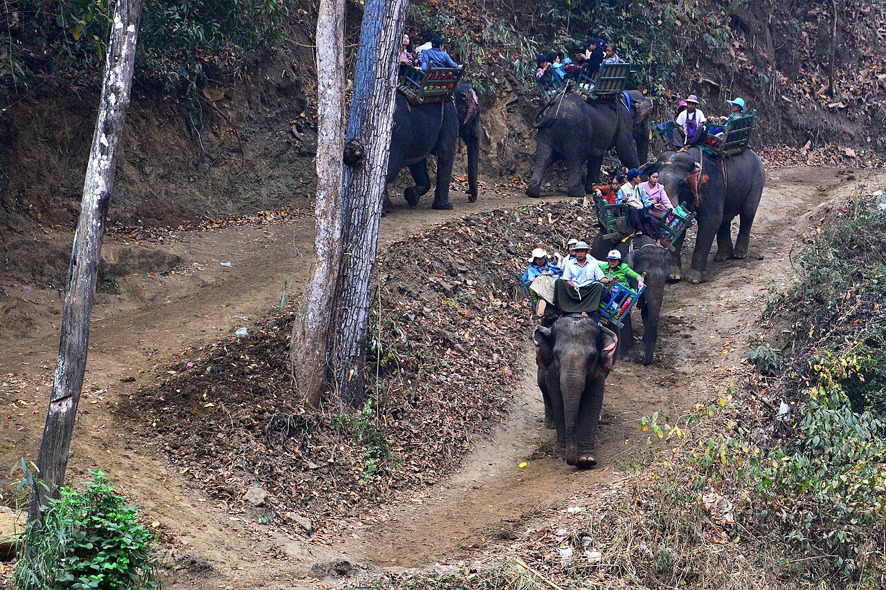
Photo: Aung Myint Htwe via Wikimedia Commons, CC BY-SA 4.0. Cropped and resized for display.
Park facts
| Park type | National Park |
|---|---|
| Location | Myanmar |
| Established | 1893 |
| Coordinates | 23.6000° N, 95.5333° E |
Every fact above is taken from the sources listed below; anything no source states is left blank rather than guessed.
About Alaungdaw Kathapa National Park
Alaungdaw Kathapa National Park is a national park in Myanmar covering 541.6 mi2 (1,403 km2). It was established in 1989 and is listed as one of the ASEAN Heritage Parks. It spans an elevation of 443–4,380 ft (135–1,335 m) in the Kani and Mingin Townships in Sagaing Region.
Description from the park's Wikipedia article (CC BY-SA), linked in the sources below.
Airports near this park
The airports a visitor would actually fly into, nearest first — each link opens its profile on our sister site AirportProfiles.
- Bir Tikendrajit International Airport (IMF) · Imphal, India · 130.6 miles away
- Mandalay International Airport (MDL) · Mandalay, Myanmar · 134.2 miles away
Parks nearby
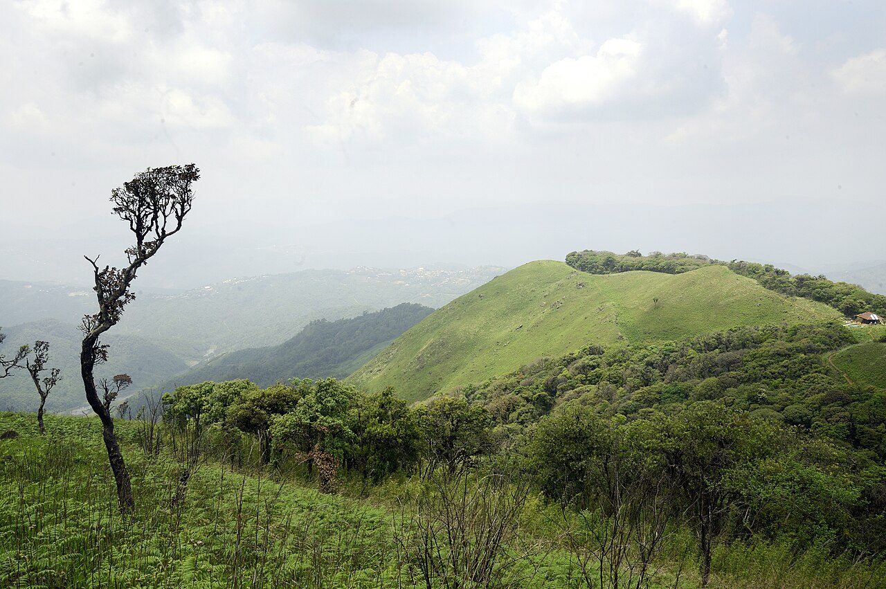
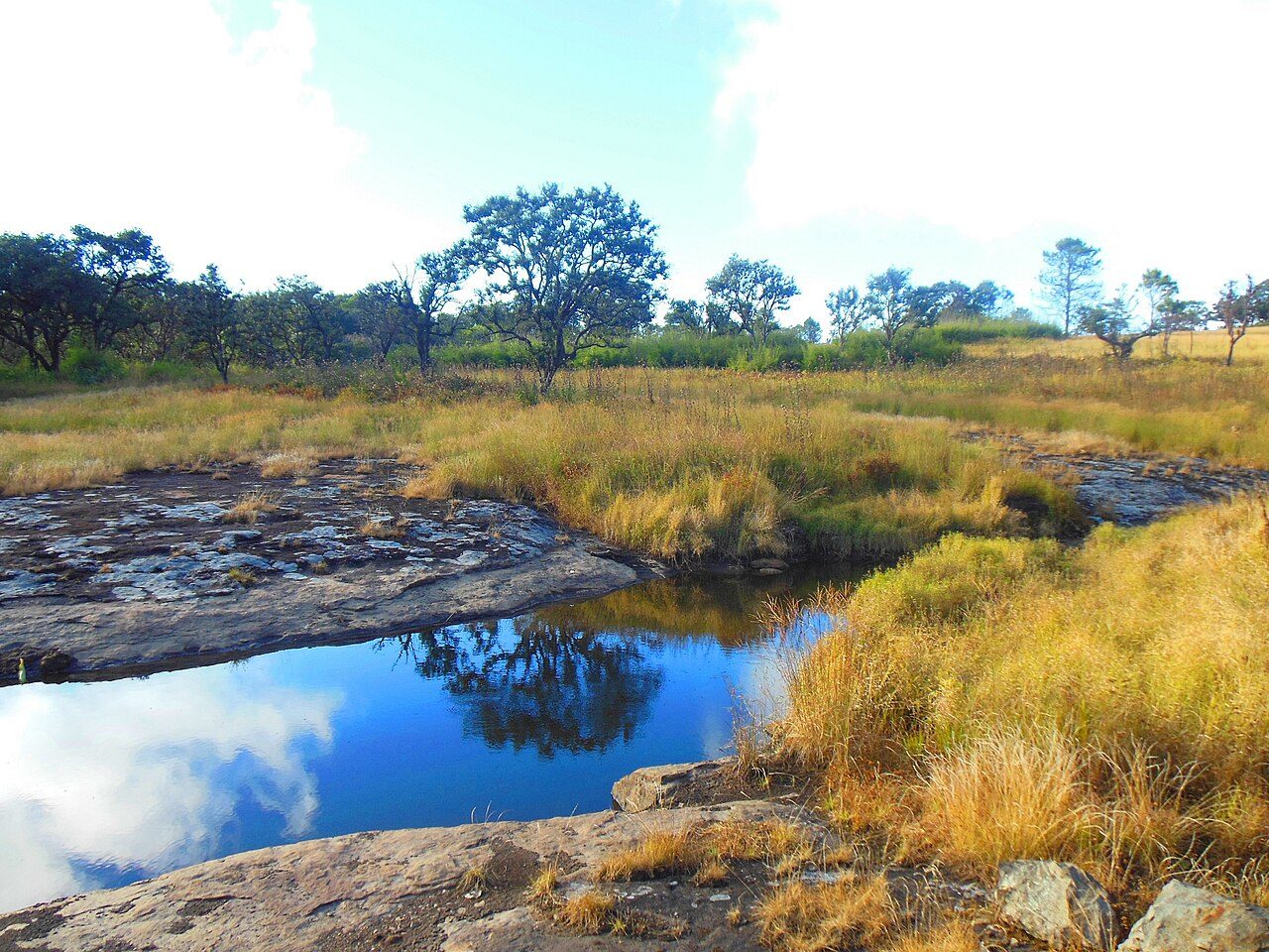

More parks in Myanmar
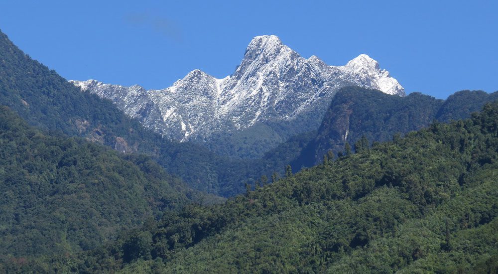
Emawbum National Park
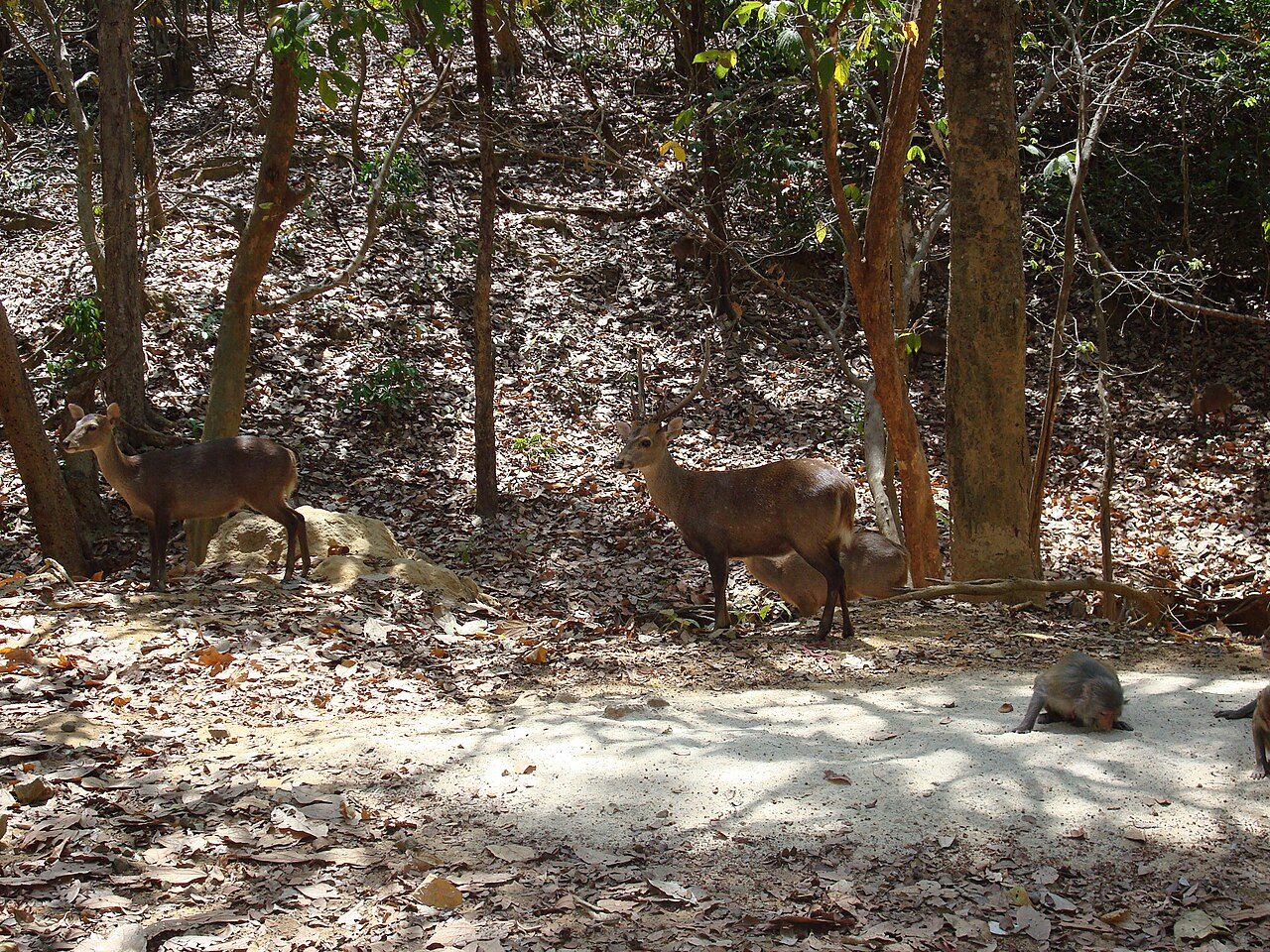
Hlawga National Park
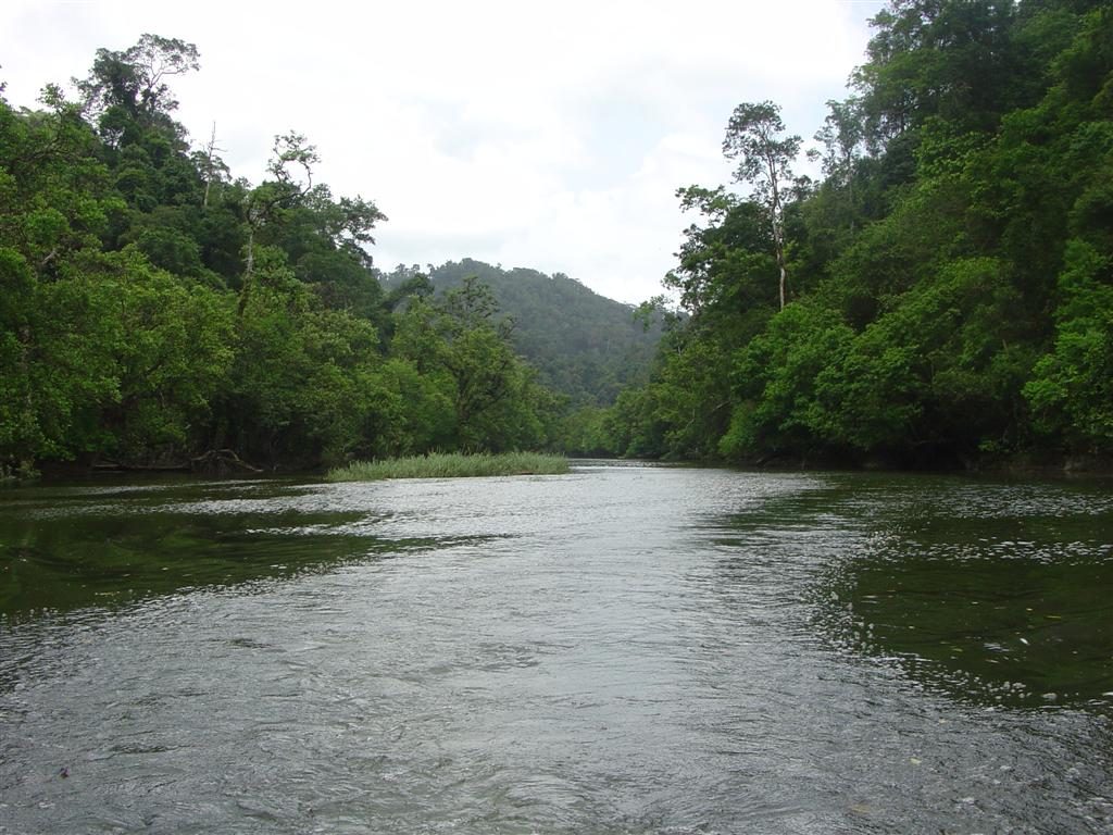
Lampi Island Marine National Park
Khakaborazi National Park
Lenya National Park
Loimwe National Park
Mount Victoria National Park
Popa Mountain National Park
Frequently asked questions
Where is Alaungdaw Kathapa National Park?
Alaungdaw Kathapa National Park is in Myanmar (23.6000° N, 95.5333° E).
When was Alaungdaw Kathapa National Park established?
Alaungdaw Kathapa National Park was established in 1893, per the source listed at the foot of this page.
Sources
- https://www.wikidata.org/wiki/Q4708857 — Wikidata (CC0) — name, country, coordinates, area, established year, highest point where stated.
- https://en.wikipedia.org/wiki/Alaungdaw_Kathapa_National_Park — Wikipedia article — description (CC BY-SA).