
National Park · Myanmar
Khakaborazi National Park
Khakaborazi National Park is a national park in Myanmar, established in 1996.
National Park · Myanmar
No freely licensed photograph of this park is in our library yet — rather than borrow a picture of somewhere else, this profile leads with its verified facts.
Park facts
| Park type | National Park |
|---|---|
| Location | Myanmar |
| Established | 1996 |
| Coordinates | 28.1350° N, 97.8700° E |
Every fact above is taken from the sources listed below; anything no source states is left blank rather than guessed.
About Khakaborazi National Park
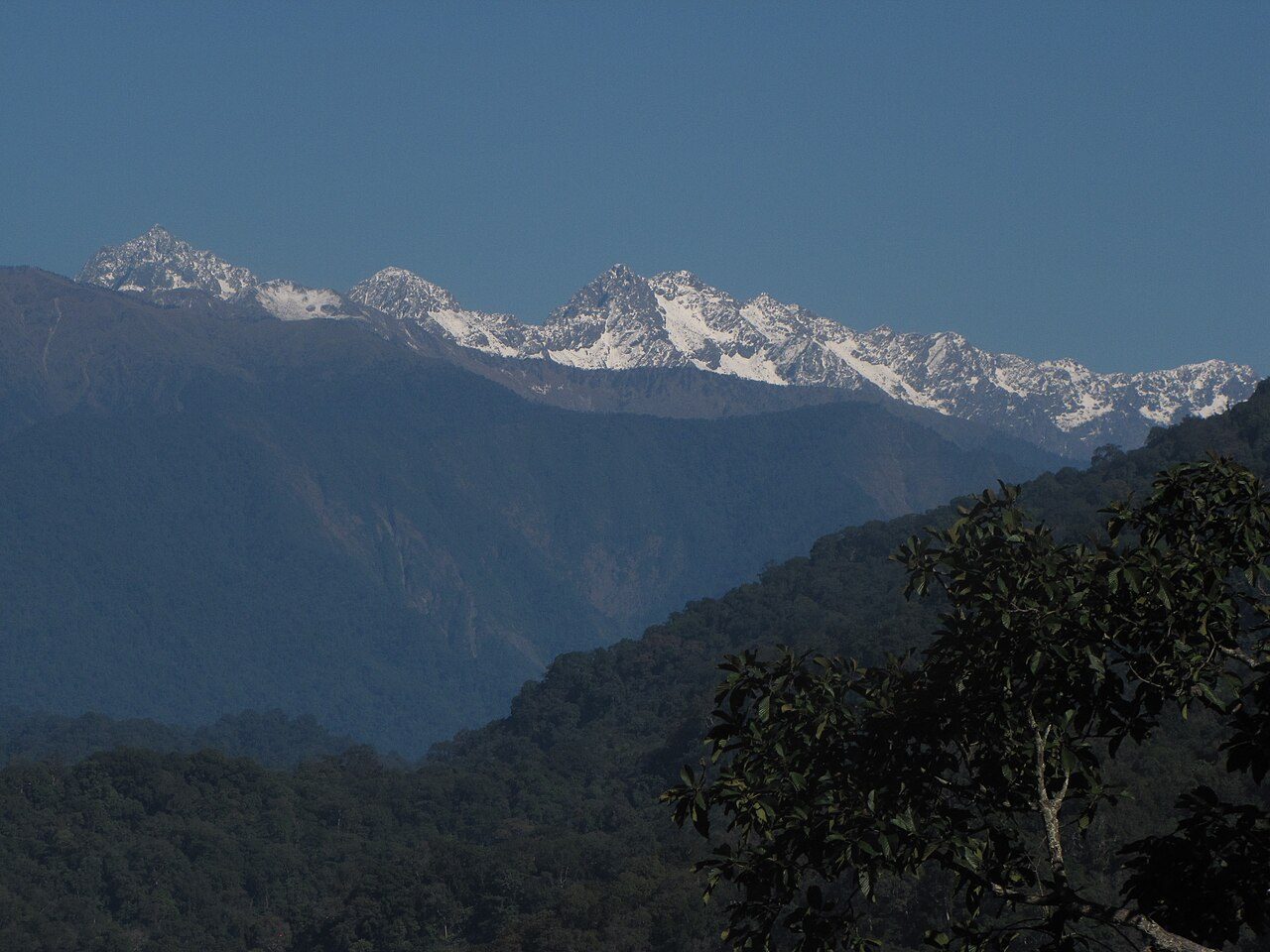
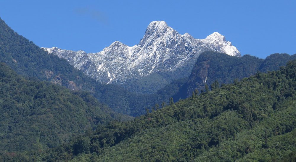
Hkakaborazi National Park is a national park in northern Myanmar with an area of 1,472 mi2 (3,810 km2). It was established in 1998. It surrounds Hkakabo Razi, the highest mountain in the country. It ranges in elevation from 2,950 to 18,730 ft (900 to 5,710 m) comprising evergreen forest and mixed deciduous forests in Nogmung Township, Kachin State. It is managed by the Nature and Wildlife Conservation Division. It is contiguous with Bumhpa Bum Wildlife Sanctuary and Hukaung Valley Wildlife Sanctuary.
Description from the park's Wikipedia article (CC BY-SA), linked in the sources below.
Airports near this park
The airports a visitor would actually fly into, nearest first — each link opens its profile on our sister site AirportProfiles.
- Putao Airport (PBU) · Putao, Myanmar · 61.9 miles away
- Diqing Shangri-La Airport (DIG) · Diqing (Shangri-La), China · 112.8 miles away
Parks nearby
More parks in Myanmar
Frequently asked questions
Where is Khakaborazi National Park?
Khakaborazi National Park is in Myanmar (28.1350° N, 97.8700° E).
When was Khakaborazi National Park established?
Khakaborazi National Park was established in 1996, per the source listed at the foot of this page.
Sources
- https://www.wikidata.org/wiki/Q6399178 — Wikidata (CC0) — name, country, coordinates, area, established year, highest point where stated.
- https://en.wikipedia.org/wiki/Hkakaborazi_National_Park — Wikipedia article — description (CC BY-SA).