
National Park · Myanmar
Emawbum National Park
Emawbum National Park is a national park in Myanmar, covering 149,103 acres (60,340 ha).
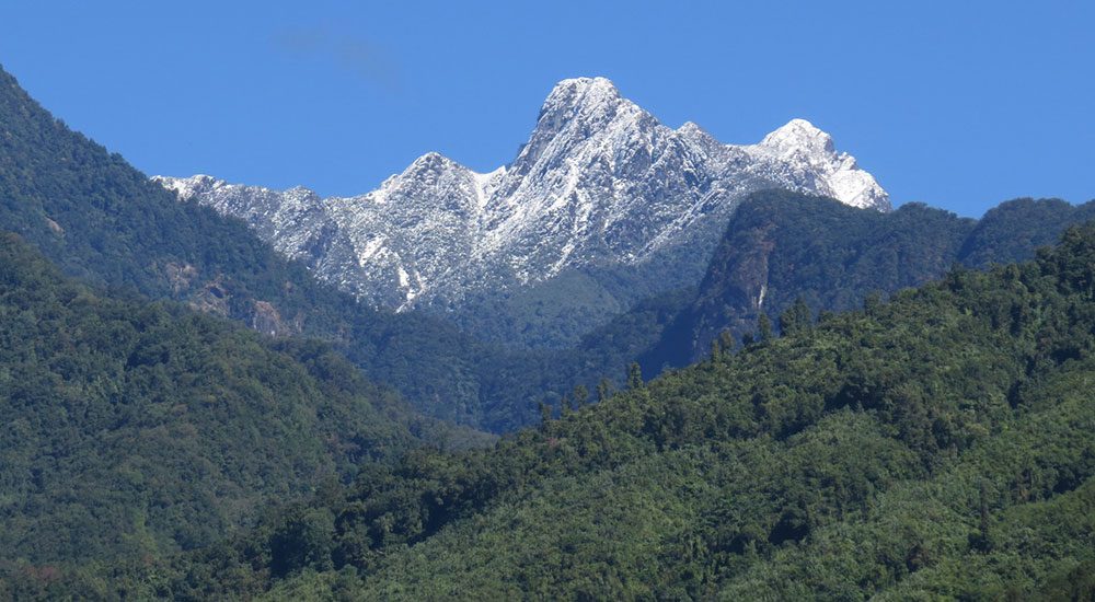
Photo: Cao Zang Khao Dau via Wikimedia Commons, CC0. Cropped and resized for display.
Park facts
| Park type | National Park |
|---|---|
| Location | Myanmar |
| Area | 149,103 acres (60,340 ha) |
| Coordinates | 26.2867° N, 98.5453° E |
Every fact above is taken from the sources listed below; anything no source states is left blank rather than guessed.
About Emawbum National Park
Imawbum National Park (Burmese: အီမောဘွန်းအမျိုးသားဥယျာဉ်), also known as Emawbum National Park, is a national park in northern Myanmar. The park was designated in 2020, and covers an area of 149,103 acres (603.40 km2). It is located in eastern Kachin State, and on the east it adjoins the border with China. The Nujiang Langcang Gorge alpine conifer and mixed forests ecoregion covers the eastern portion of the park, and the Northern Triangle subtropical forests covers the western portion.
Description from the park's Wikipedia article (CC BY-SA), linked in the sources below.
Airports near this park
The airports a visitor would actually fly into, nearest first — each link opens its profile on our sister site AirportProfiles.
- Lijiang Sanyi International Airport (LJG) · Lijiang, China · 108.5 miles away
Parks nearby
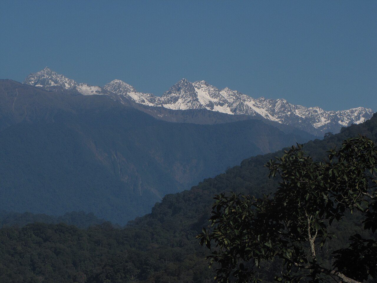
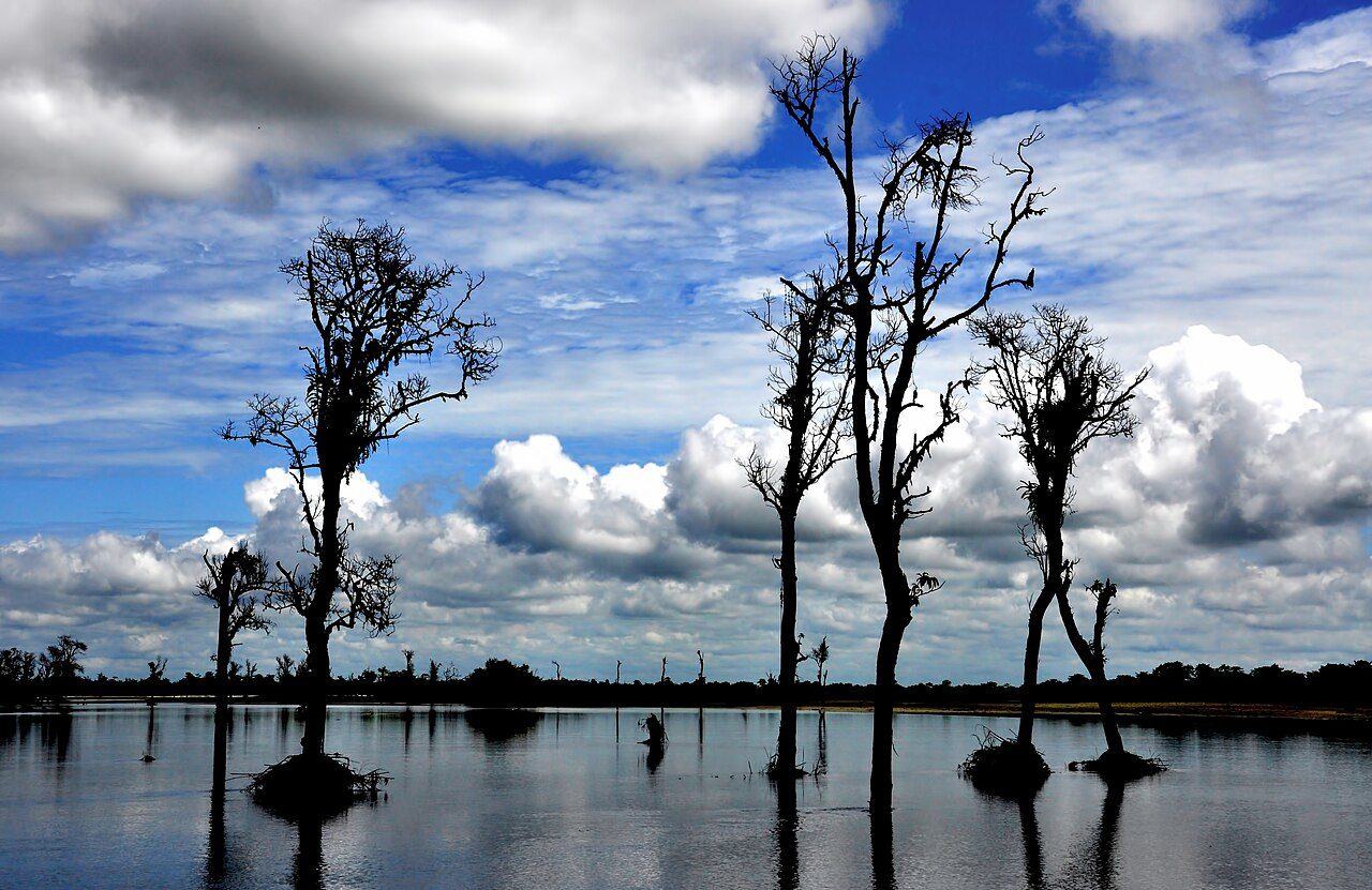

More parks in Myanmar
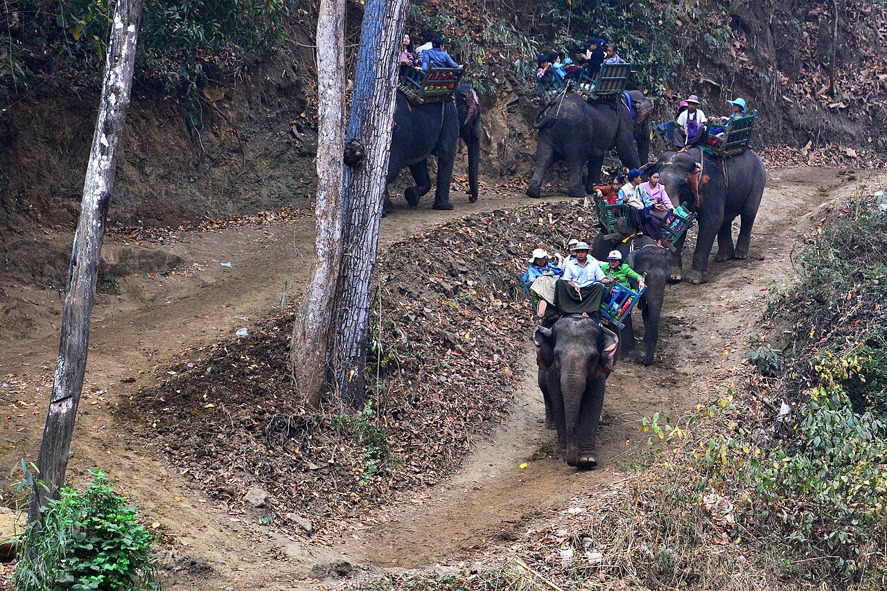
Alaungdaw Kathapa National Park
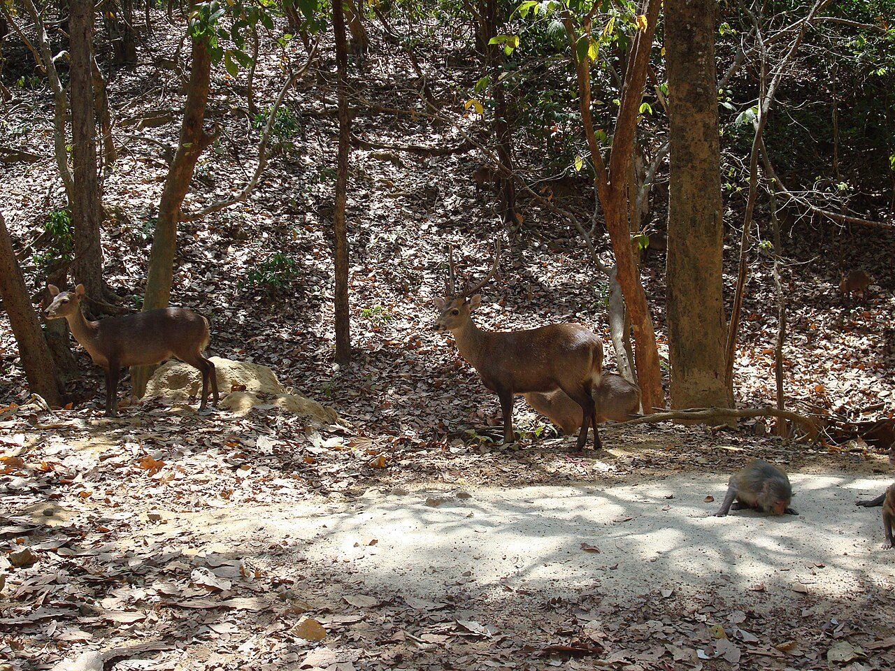
Hlawga National Park
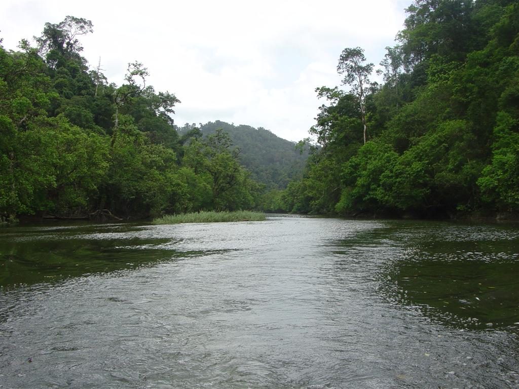
Lampi Island Marine National Park
Khakaborazi National Park
Lenya National Park
Loimwe National Park
Mount Victoria National Park
Popa Mountain National Park
Frequently asked questions
Where is Emawbum National Park?
Emawbum National Park is in Myanmar (26.2867° N, 98.5453° E).
How big is Emawbum National Park?
Emawbum National Park covers 149,103 acres (60,340 ha).
Sources
- https://www.wikidata.org/wiki/Q121063270 — Wikidata (CC0) — name, country, coordinates, area, established year, highest point where stated.
- https://en.wikipedia.org/wiki/Imawbum_National_Park — Wikipedia article — description (CC BY-SA).