
National Park · Canada
Aulavik National Park
Aulavik National Park is a national park in Canada, covering 3,014,681 acres (1,219,999 ha), established in 2001.
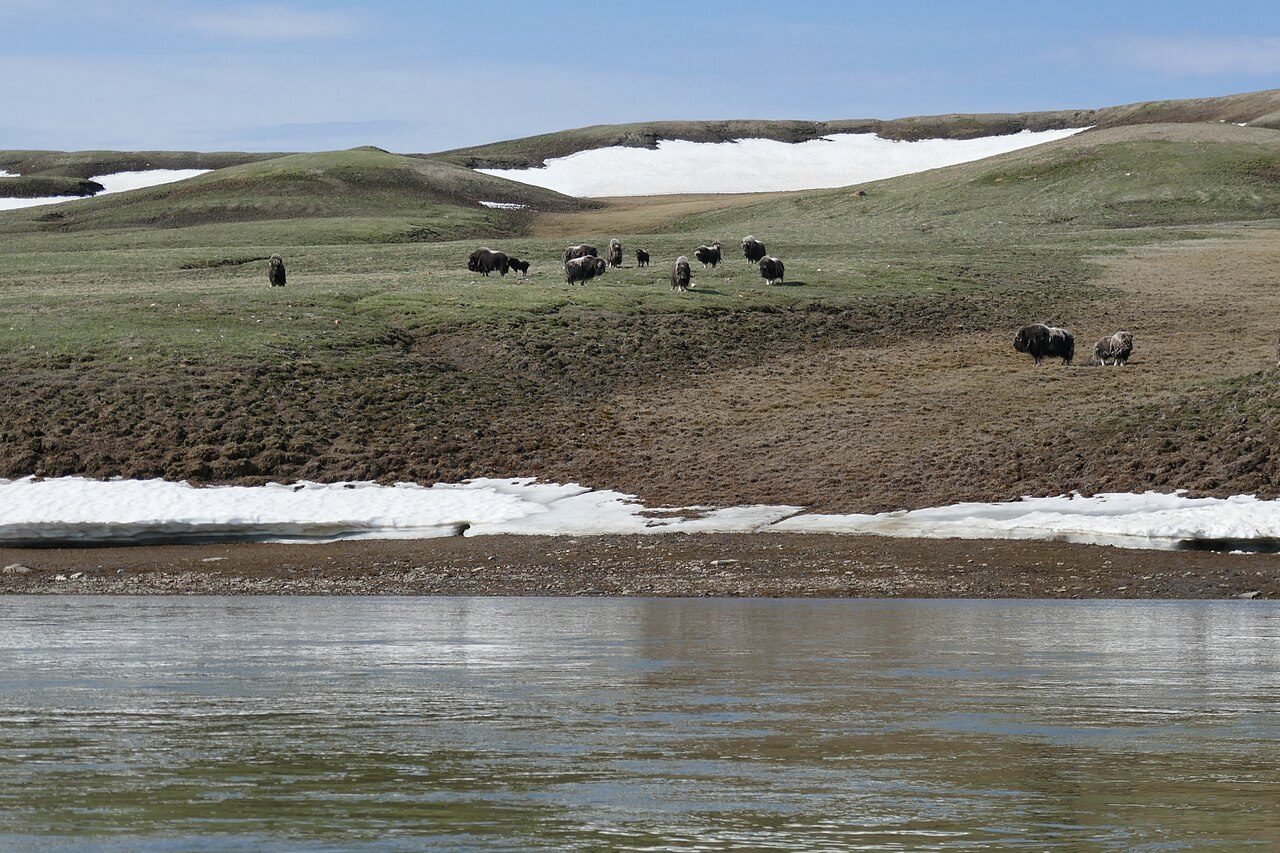
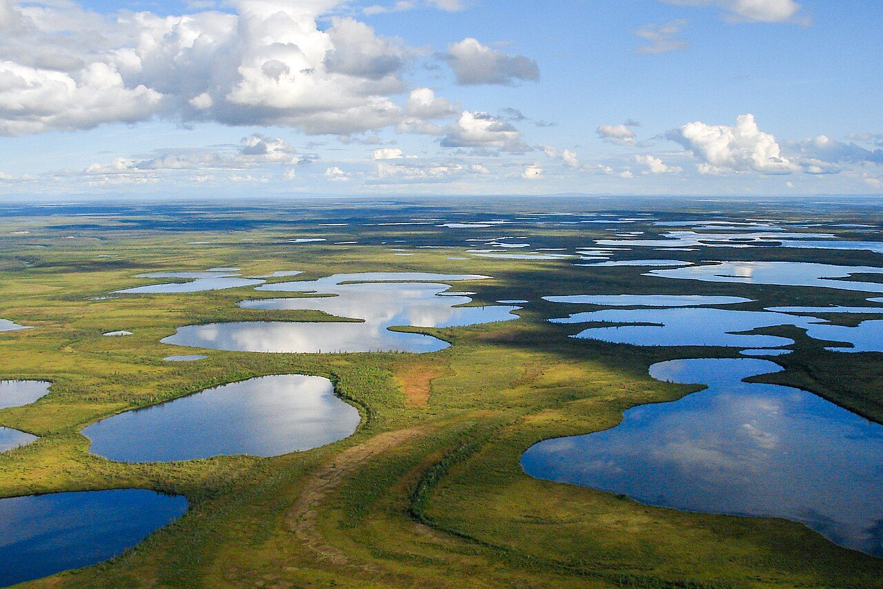
Photo: Paul Gierszewski via Wikimedia Commons, CC BY-SA 4.0. Cropped and resized for display.
Park facts
| Park type | National Park |
|---|---|
| Location | Canada |
| Area | 3,014,681 acres (1,219,999 ha) |
| Established | 2001 |
| Coordinates | 73.7003° N, 119.9190° W |
Every fact above is taken from the sources listed below; anything no source states is left blank rather than guessed.
About Aulavik National Park
Aulavik National Park ( OW-lə-vik); from the Inuvialuktun for "place where people travel") is a national park located on Banks Island in the Northwest Territories of Canada. It is known for its access to the Thomsen River, one of the most northerly navigable rivers in North America. The park is a fly-in park, and protects approximately 12,274 square kilometres (4,739 sq mi) of Arctic Lowlands at the northern end of the island. The most practical way to visit the park is to charter a plane, and currently the park has four landing sites. Aulavik is considered a polar desert and often experiences high winds.
Description from the park's Wikipedia article (CC BY-SA), linked in the sources below.
Airports near this park
The airports a visitor would actually fly into, nearest first — each link opens its profile on our sister site AirportProfiles.
- Sachs Harbour (David Nasogaluak Jr. Saaryuaq) Airport (YSY) · Sachs Harbour, Canada · 160.1 miles away
- Ulukhaktok Holman Airport (YHI) · Ulukhaktok, Canada · 207.8 miles away
Parks nearby
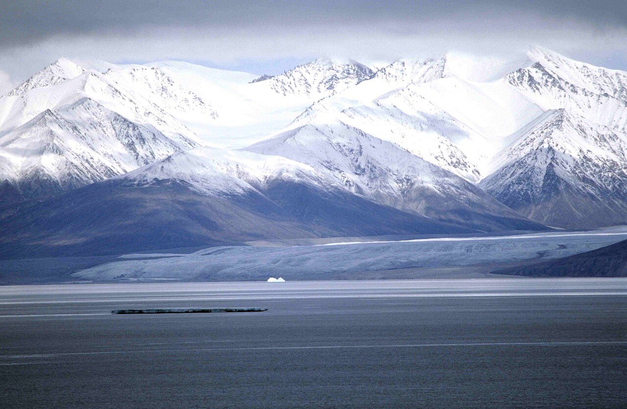
More parks in Canada









Frequently asked questions
Where is Aulavik National Park?
Aulavik National Park is in Canada (73.7003° N, 119.9190° W).
When was Aulavik National Park established?
Aulavik National Park was established in 2001, per the source listed at the foot of this page.
How big is Aulavik National Park?
Aulavik National Park covers 3,014,681 acres (1,219,999 ha).
Sources
- https://www.wikidata.org/wiki/Q771612 — Wikidata (CC0) — name, country, coordinates, area, established year, highest point where stated.
- https://en.wikipedia.org/wiki/Aulavik_National_Park — Wikipedia article — description (CC BY-SA).