
National Park · Canada
Sirmilik National Park
Sirmilik National Park is a national park in Canada, covering 5,485,731 acres (2,219,999 ha), established in 2001.
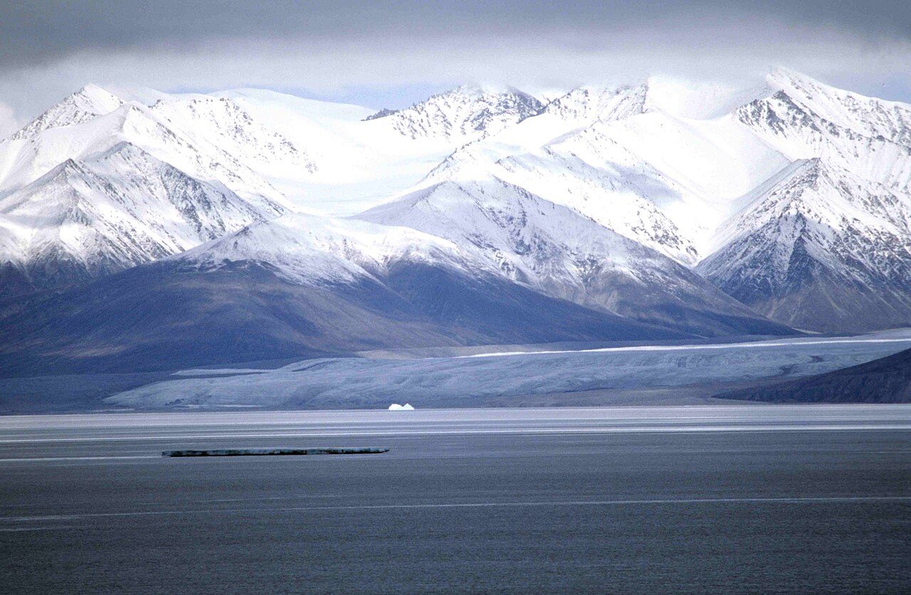
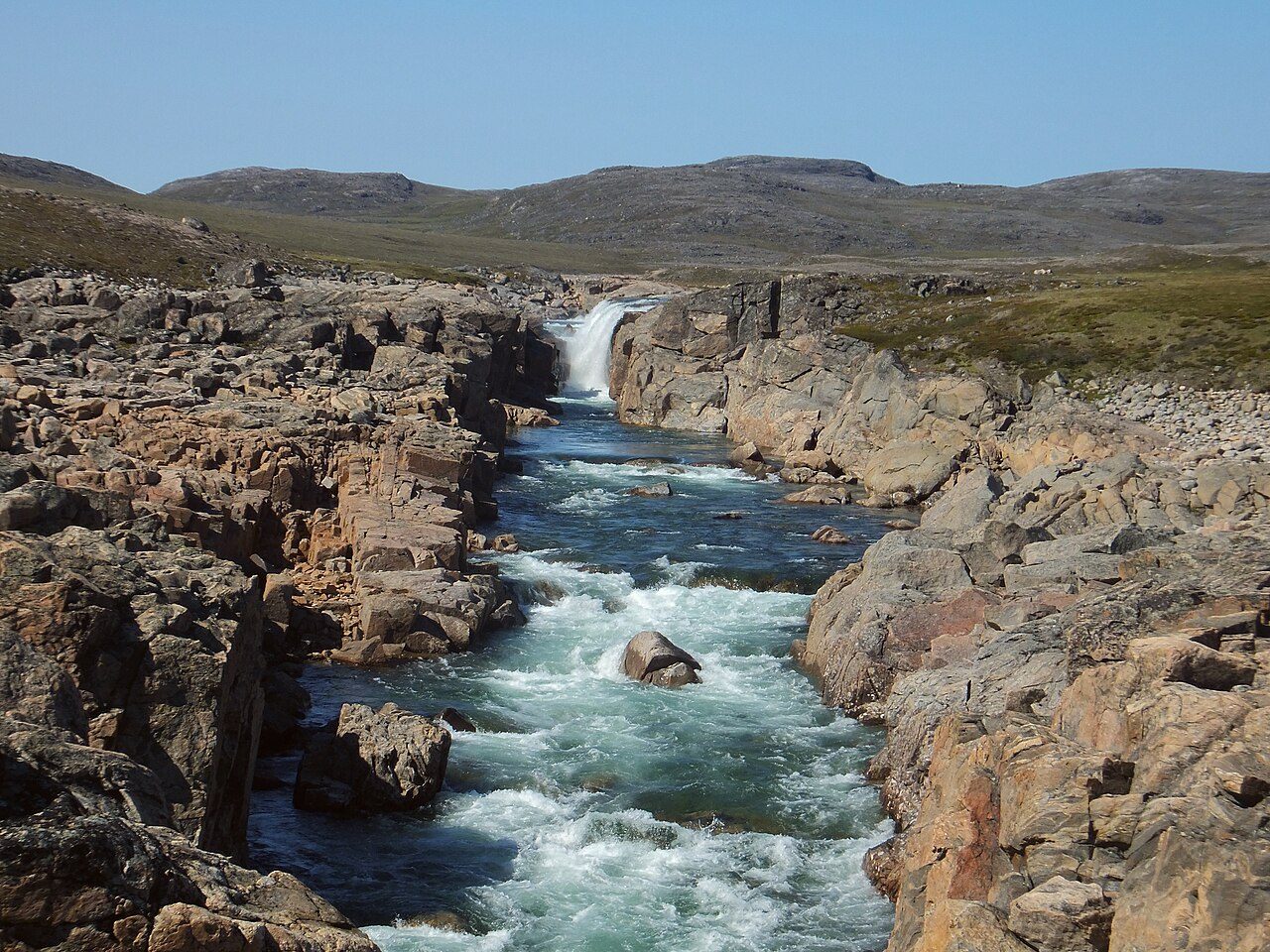
Photo: Ansgar Walk via Wikimedia Commons, CC BY-SA 2.5. Cropped and resized for display.
Park facts
| Park type | National Park |
|---|---|
| Location | Canada |
| Area | 5,485,731 acres (2,219,999 ha) |
| Established | 2001 |
| Coordinates | 72.8333° N, 80.5833° W |
Every fact above is taken from the sources listed below; anything no source states is left blank rather than guessed.
About Sirmilik National Park
Sirmilik National Park (; Inuktitut: "the place of glaciers") is a national park located in the Qikiqtaaluk Region, Nunavut, Canada, established in 1999. Situated within the Arctic Cordillera, the park is composed of three areas: most of Bylot Island with the exception of a few areas that are Inuit-owned lands, Kangiqłuruluk, and Baffin Island's Borden Peninsula. Much of the park is bordered by water. Geographically, it is representative of the Northern Eastern Arctic Lowlands Natural Region as well as parts of the Lancaster Sound Marine Region.
Description from the park's Wikipedia article (CC BY-SA), linked in the sources below.
Like Sirmilik National Park? Visit Sirmilik National Park’s official park page for hours and current conditions before you travel.
Airports near this park
The airports a visitor would actually fly into, nearest first — each link opens its profile on our sister site AirportProfiles.
- Pond Inlet Airport (YIO) · Pond Inlet, Canada · 54.4 miles away
- Arctic Bay Airport (YAB) · Arctic Bay, Canada · 91.3 miles away
Parks nearby
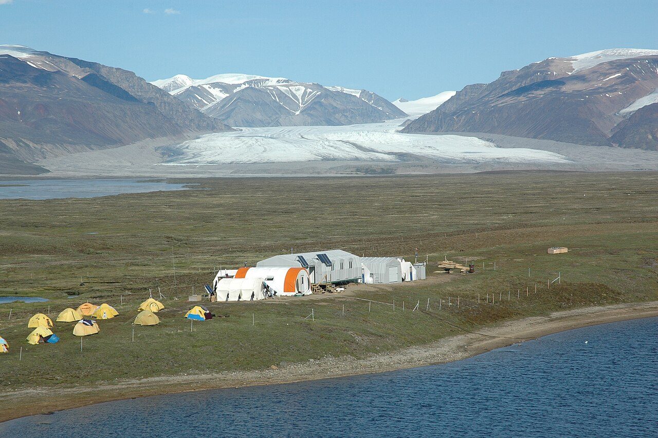
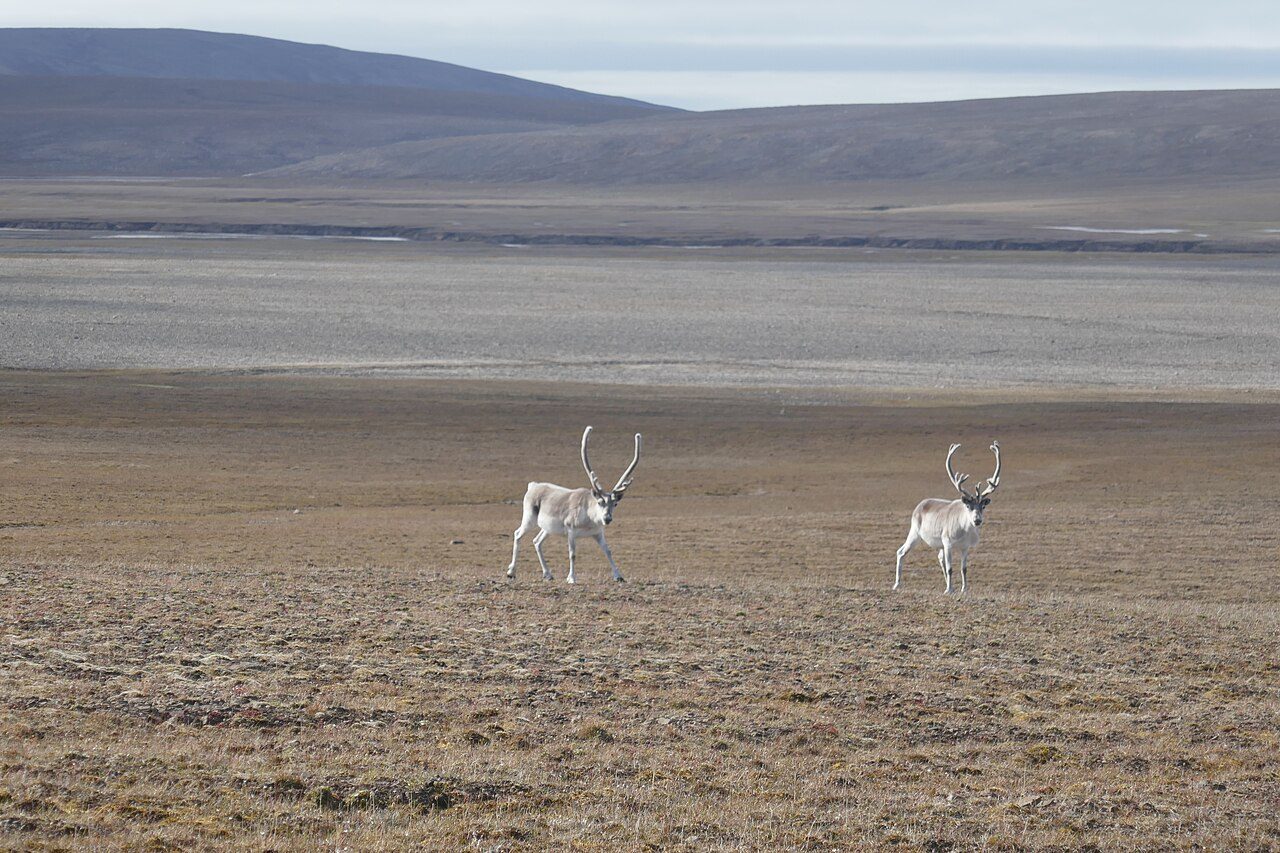
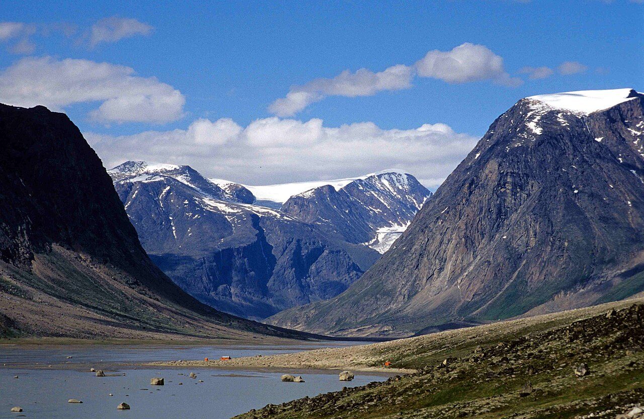
More parks in Canada









Frequently asked questions
Where is Sirmilik National Park?
Sirmilik National Park is in Canada (72.8333° N, 80.5833° W).
When was Sirmilik National Park established?
Sirmilik National Park was established in 2001, per the source listed at the foot of this page.
How big is Sirmilik National Park?
Sirmilik National Park covers 5,485,731 acres (2,219,999 ha).
Sources
- https://www.wikidata.org/wiki/Q795332 — Wikidata (CC0) — name, country, coordinates, area, established year, highest point where stated.
- https://en.wikipedia.org/wiki/Sirmilik_National_Park — Wikipedia article — description (CC BY-SA).