
National Park · Israel
Beit Guvrin National Park
Beit Guvrin National Park is a national park in Israel, covering 640 acres (259 ha).
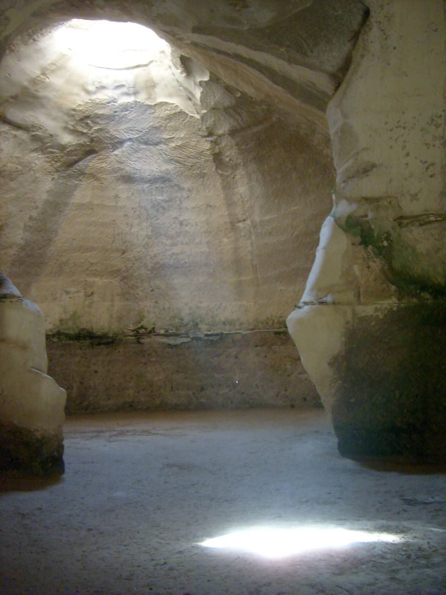
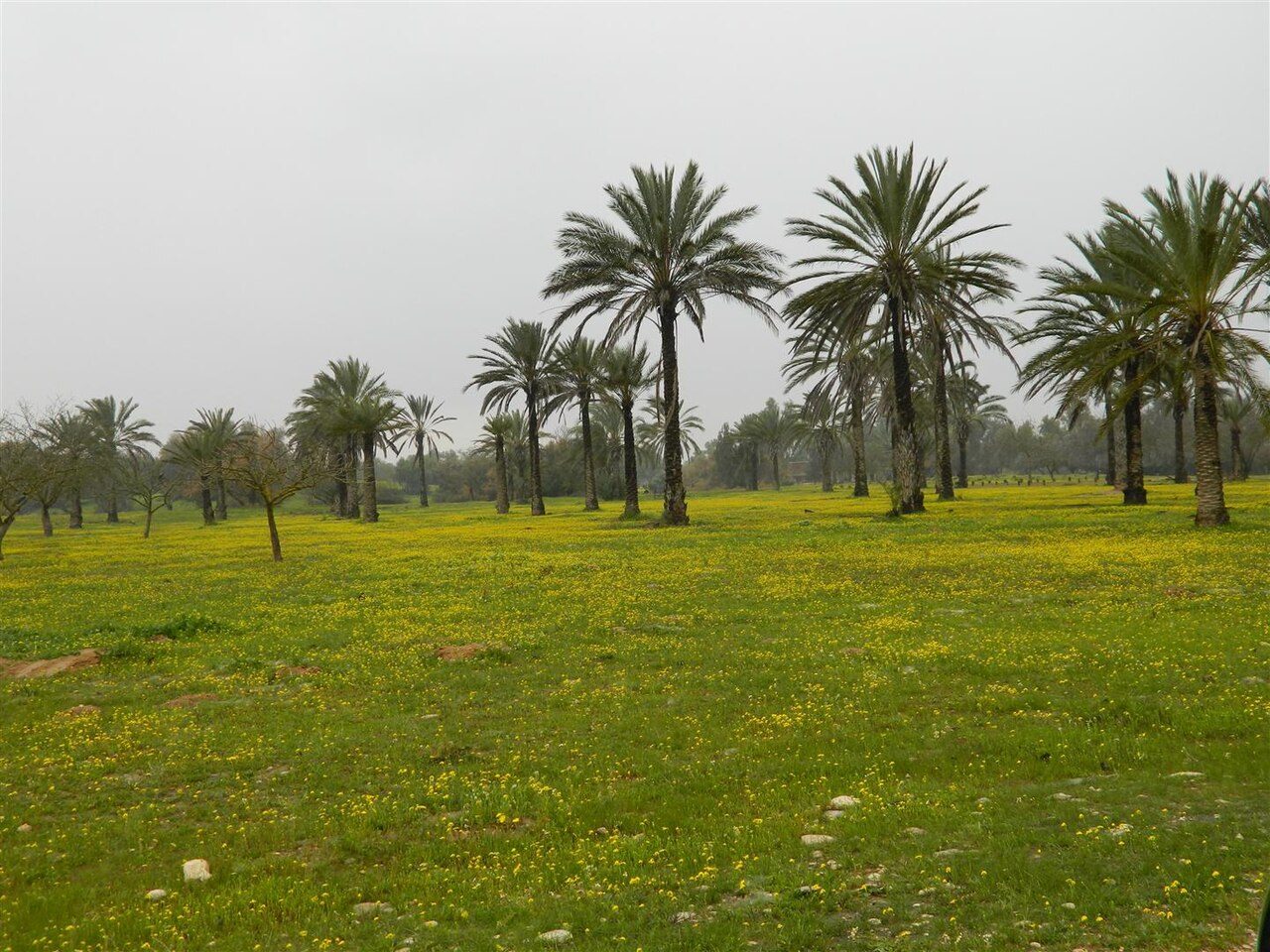
Photo: Chai via Wikimedia Commons, CC BY-SA 3.0. Cropped and resized for display.
Park facts
| Park type | National Park |
|---|---|
| Location | Israel |
| Area | 640 acres (259 ha) |
| Coordinates | 31.6131° N, 34.8983° E |
Every fact above is taken from the sources listed below; anything no source states is left blank rather than guessed.
About Beit Guvrin National Park
Beit Guvrin-Maresha National Park is a national park in the Judaean Foothills of central Israel, containing a large network of caves recognized by UNESCO as a World Heritage Site. The national park includes the remains of two historical towns. The first, Maresha, was an important town of the Kingdom of Judah during the First Temple period, which later continued through the Persian and Hellenistic periods and came to be inhabited largely by Idumeans. It is located in the southern part of the park.
Description from the park's Wikipedia article (CC BY-SA), linked in the sources below.
Airports near this park
The airports a visitor would actually fly into, nearest first — each link opens its profile on our sister site AirportProfiles.
- Ben Gurion International Airport (TLV) · Tel Aviv, Israel · 27.5 miles away
- Queen Alia International Airport (AMM) · Amman, Jordan · 64.8 miles away
- Marka International (Amman Civil) Airport (ADJ) · Amman, Jordan · 68.8 miles away
Parks nearby
More parks in Israel

Frequently asked questions
Where is Beit Guvrin National Park?
Beit Guvrin National Park is in Israel (31.6131° N, 34.8983° E).
How big is Beit Guvrin National Park?
Beit Guvrin National Park covers 640 acres (259 ha).
Sources
- https://www.wikidata.org/wiki/Q2407530 — Wikidata (CC0) — name, country, coordinates, area, established year, highest point where stated.
- https://en.wikipedia.org/wiki/Beit_Guvrin-Maresha_National_Park — Wikipedia article — description (CC BY-SA).