
National Park · Israel
Tel Ashkelon National Park
Tel Ashkelon National Park is a national park in Israel.
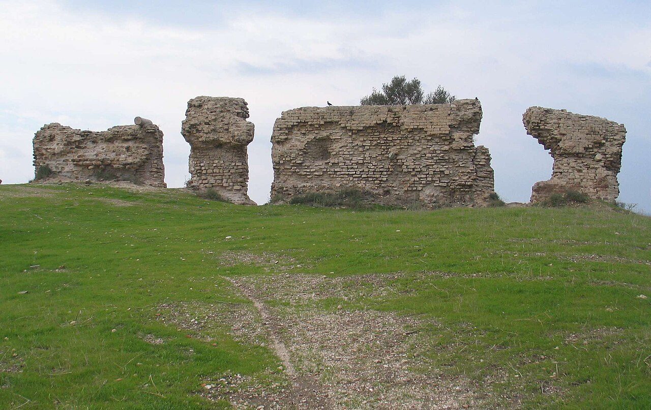
Photo: Bukvoed via Wikimedia Commons, CC BY 3.0. Cropped and resized for display.
Park facts
| Park type | National Park |
|---|---|
| Location | Israel |
| Coordinates | 31.6617° N, 34.5497° E |
Every fact above is taken from the sources listed below; anything no source states is left blank rather than guessed.
About Tel Ashkelon National Park
Ashkelon National Park (Hebrew: גן לאומי אשקלון, Arabic: متنزه قومي عسقلان) is an Israeli national park consisting of the ruins of ancient Ascalon and Palestinian village Al-Jura, situated along the shore of the Mediterranean Sea southwest of the city of Ashkelon. The national park encompasses the heart of ancient Ascalon. It is surrounded by a wall built in the mid-12th century by the Fatimid Caliphate. The wall was originally 2,200 meters in length, 50 meters in width and 15 meters in height. The remains of the wall are located in the eastern and southern parts of the national park.
Description from the park's Wikipedia article (CC BY-SA), linked in the sources below.
Airports near this park
The airports a visitor would actually fly into, nearest first — each link opens its profile on our sister site AirportProfiles.
- Ben Gurion International Airport (TLV) · Tel Aviv, Israel · 31.2 miles away
- El Arish International Airport (AAC) · El Arish, Egypt · 59.7 miles away
- Queen Alia International Airport (AMM) · Amman, Jordan · 85.0 miles away
Parks nearby
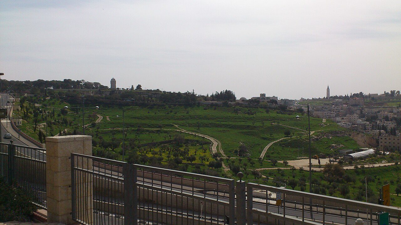
More parks in Israel
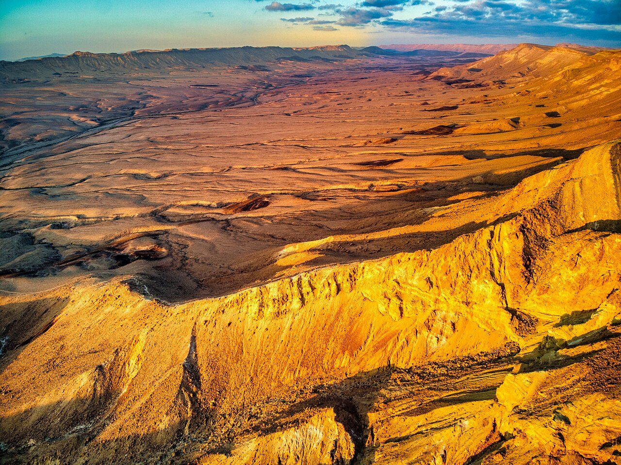

Frequently asked questions
Where is Tel Ashkelon National Park?
Tel Ashkelon National Park is in Israel (31.6617° N, 34.5497° E).
Sources
- https://www.wikidata.org/wiki/Q26764589 — Wikidata (CC0) — name, country, coordinates, area, established year, highest point where stated.
- https://en.wikipedia.org/wiki/Ashkelon_National_Park — Wikipedia article — description (CC BY-SA).