
National Park · Israel
Castel National Park
Castel National Park is a national park in Israel.
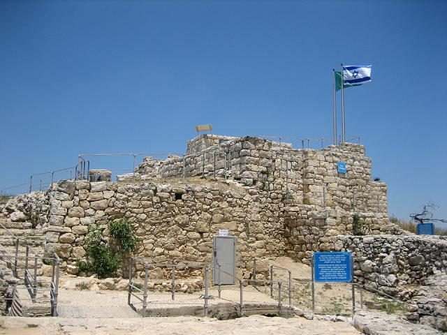
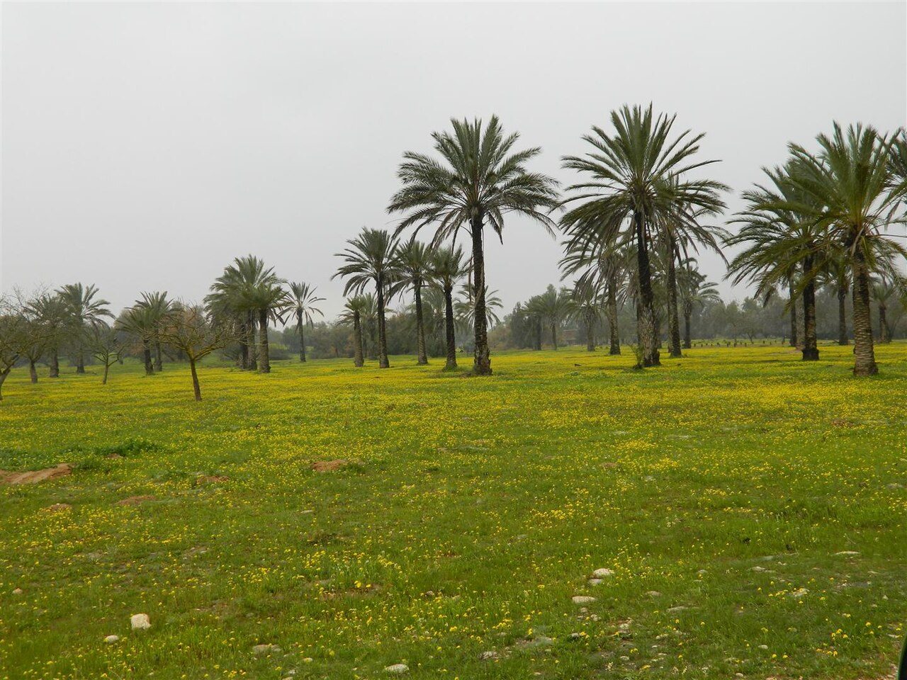
Photo: אסף.צ at Hebrew Wikipedia via Wikimedia Commons, Public domain. Cropped and resized for display.
Park facts
| Park type | National Park |
|---|---|
| Location | Israel |
| Coordinates | 31.7967° N, 35.1444° E |
Every fact above is taken from the sources listed below; anything no source states is left blank rather than guessed.
About Castel National Park
Castel National Park (Hebrew: גן לאומי קסטל) is an Israeli national park, which consists of a fortified summit in the Judean Mountains, at the site of the former Palestinian village of Al-Qastal, known to Hebrew-speakers as HaCástel, "the Cástel". It is located 8 km west of Jerusalem on the road linking it to Tel Aviv (Highway 1). The site is mostly known as the place of the key battles of Operation Nachshon, which were fought there in April 1948 during the 1948 Arab–Israeli War.
Description from the park's Wikipedia article (CC BY-SA), linked in the sources below.
Airports near this park
The airports a visitor would actually fly into, nearest first — each link opens its profile on our sister site AirportProfiles.
- Ben Gurion International Airport (TLV) · Tel Aviv, Israel · 21.2 miles away
- Queen Alia International Airport (AMM) · Amman, Jordan · 50.1 miles away
- Marka International (Amman Civil) Airport (ADJ) · Amman, Jordan · 51.2 miles away
Parks nearby
More parks in Israel

Frequently asked questions
Where is Castel National Park?
Castel National Park is in Israel (31.7967° N, 35.1444° E).
Sources
- https://www.wikidata.org/wiki/Q3486815 — Wikidata (CC0) — name, country, coordinates, area, established year, highest point where stated.
- https://en.wikipedia.org/wiki/Castel_National_Park — Wikipedia article — description (CC BY-SA).