
State Park · North Carolina, United States
Brunswick Town [ 33 ] [ 34 ]
Brunswick Town [ 33 ] [ 34 ] is a state park in North Carolina, United States, covering 119 acres (48 ha), established in 1952.
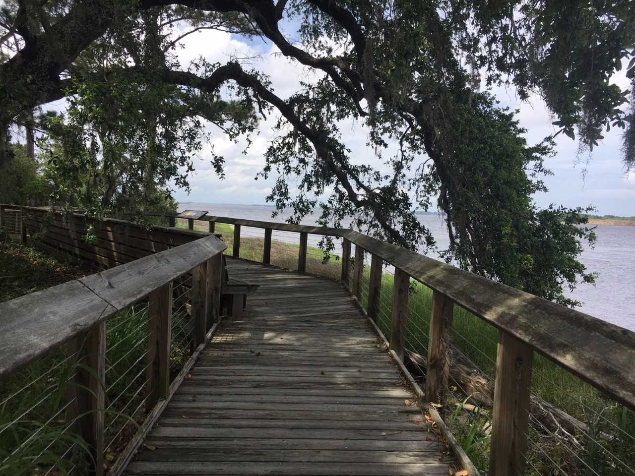
Photo: Brunswick1726 via Wikimedia Commons, CC BY-SA 4.0. Cropped and resized for display.
Park facts
| Park type | State Park |
|---|---|
| Location | Coast, North Carolina, United States |
| Area | 119 acres (48 ha) |
| Established | 1952 |
| Coordinates | 34.0398° N, 77.9466° W |
| Managed by | North Carolina state park system |
Every fact above is taken from the sources listed below; anything no source states is left blank rather than guessed.
About Brunswick Town [ 33 ] [ 34 ]
Brunswick Town was a prominent town in colonial North Carolina. It was the first successful European settlement in the Cape Fear region, a major colonial port in the 18th century, and home to two provincial governors. Brunswick Town existed for 50 years until it was burnt in a 1776 raid by British forces during the American Revolutionary War and never rebuilt. During the American Civil War, 86 years after the town was abandoned, a large portion of the town was covered by earthworks for the construction of Fort Anderson. Brunswick Town became an excavation site for Cape Fear history during the 20th century.
Description from the park's Wikipedia article (CC BY-SA), linked in the sources below.
Airports near this park
The airports a visitor would actually fly into, nearest first — each link opens its profile on our sister site AirportProfiles.
- Myrtle Beach International Airport (MYR) · Myrtle Beach, United States · 61.6 miles away
- Raleigh-Durham International Airport (RDU) · Raleigh/Durham, United States · 135.7 miles away
- Charleston International Airport (CHS) · Charleston, United States · 144.1 miles away
Parks nearby
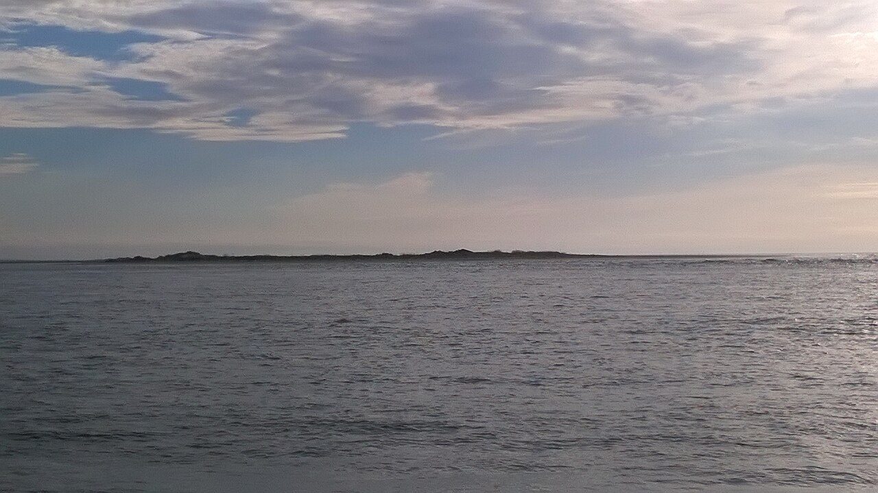
More parks in North Carolina
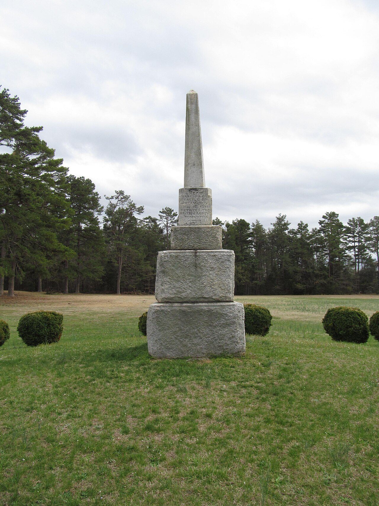
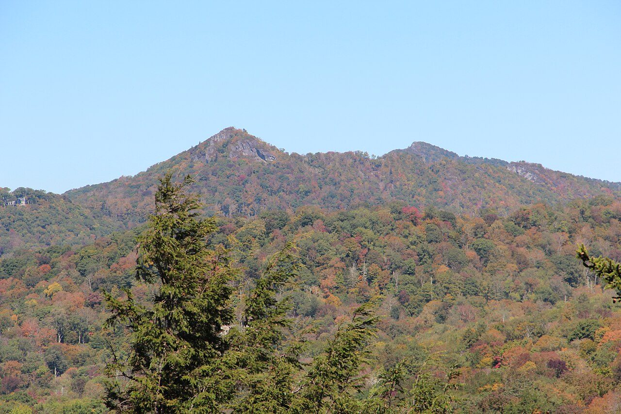
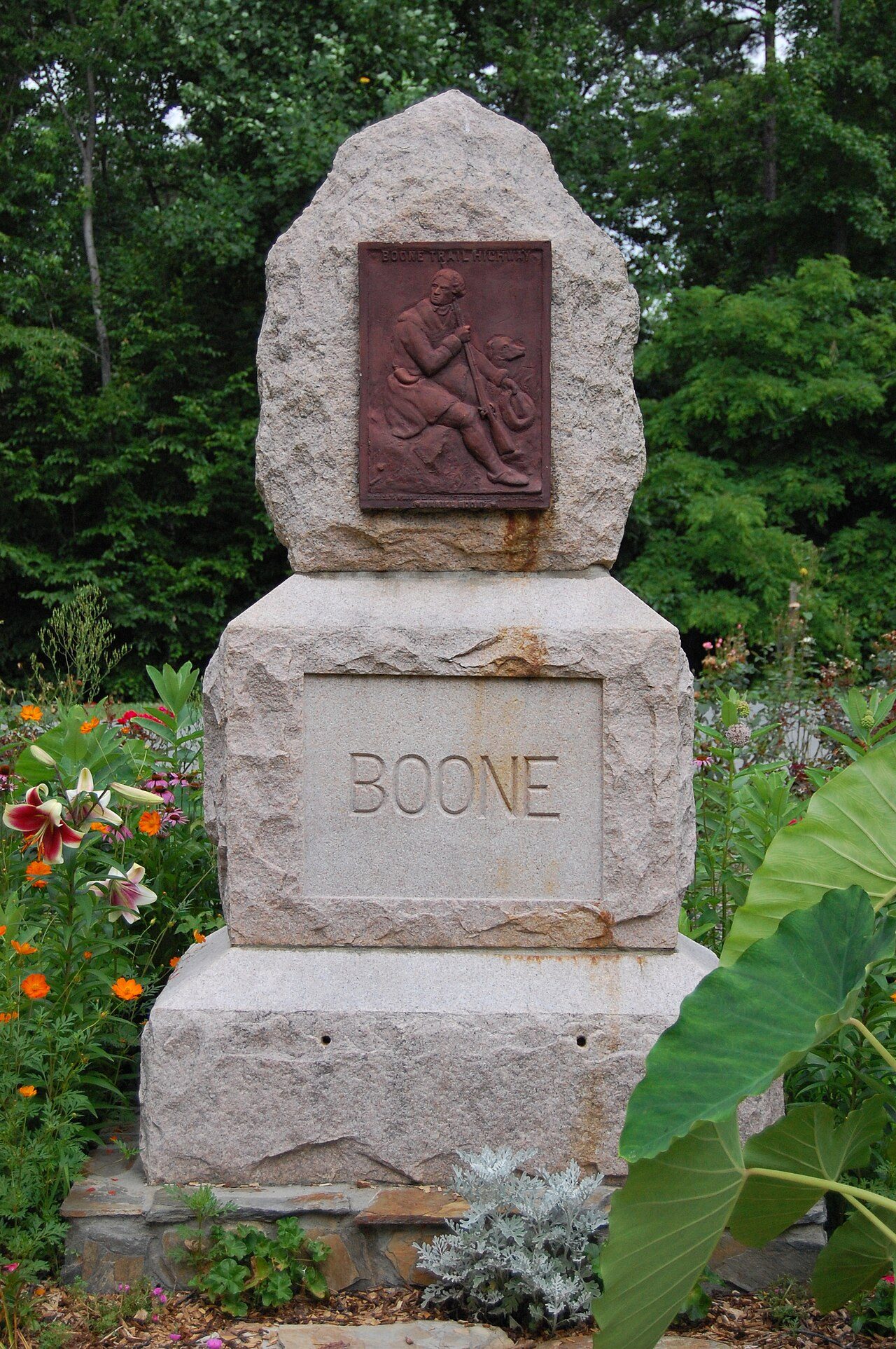

Frequently asked questions
Where is Brunswick Town [ 33 ] [ 34 ]?
Brunswick Town [ 33 ] [ 34 ] is in North Carolina, United States (34.0398° N, 77.9466° W).
When was Brunswick Town [ 33 ] [ 34 ] established?
Brunswick Town [ 33 ] [ 34 ] was established in 1952, per the source listed at the foot of this page.
How big is Brunswick Town [ 33 ] [ 34 ]?
Brunswick Town [ 33 ] [ 34 ] covers 119 acres (48 ha).
Sources
- https://en.wikipedia.org/wiki/List_of_North_Carolina_state_parks — Wikipedia list of North Carolina state parks — park name, county/location, size, year where the table states them.
- https://en.wikipedia.org/wiki/Brunswick_Town,_North_Carolina — Wikipedia article — description (CC BY-SA).