
National Seashore · North Carolina, United States
Cape Hatteras National Seashore
Cape Hatteras National Seashore is a national seashore in North Carolina, United States, covering 28,386 acres (11,487 ha).
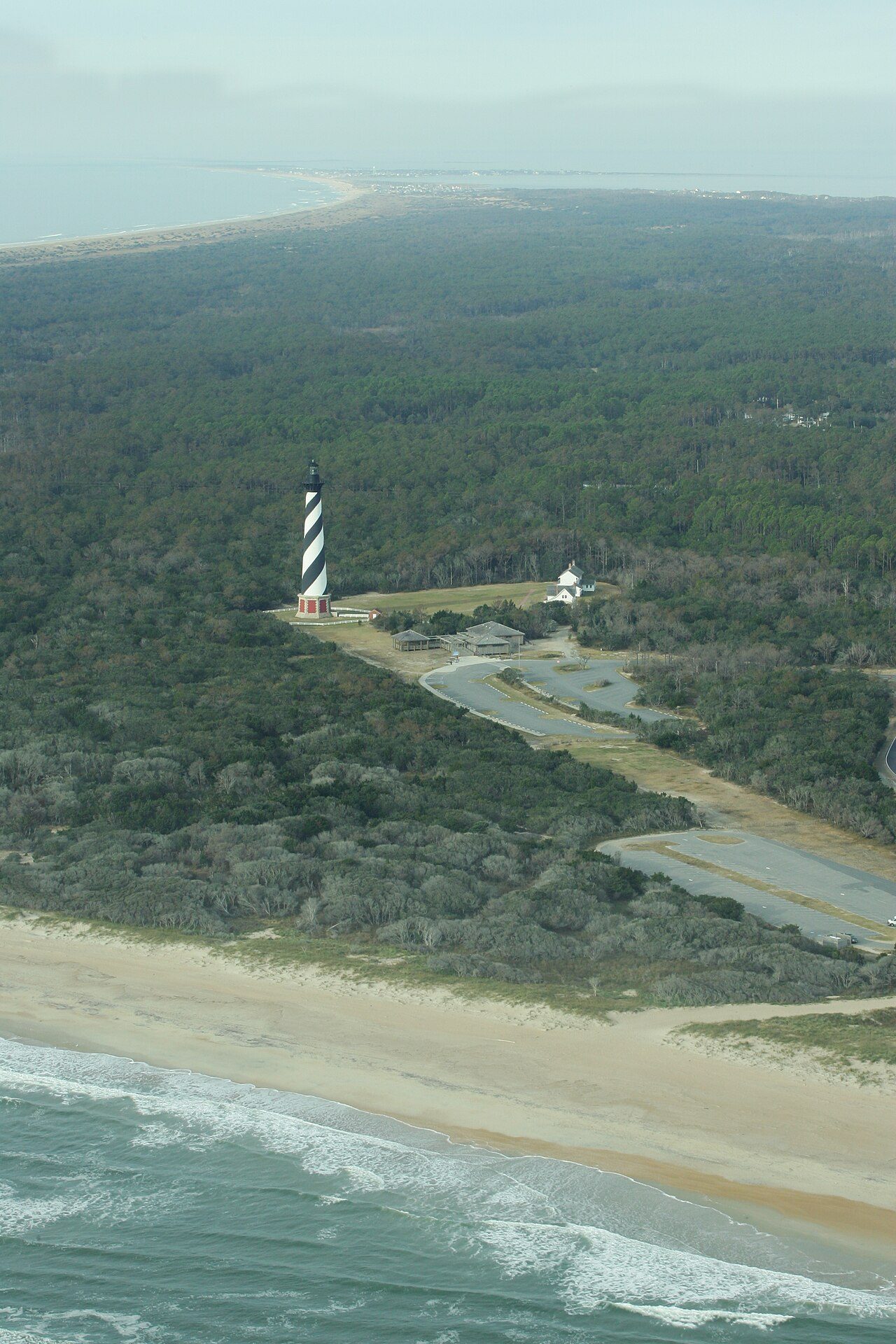
Photo: NPS Natural Resources via Wikimedia Commons, Public domain. Cropped and resized for display.
Park facts
| Park type | National Seashore |
|---|---|
| Location | North Carolina, United States |
| Area | 28,386 acres (11,487 ha) |
| Coordinates | 35.3036° N, 75.5114° W |
| Managed by | National Park Service |
Every fact above is taken from the sources listed below; anything no source states is left blank rather than guessed.
About Cape Hatteras National Seashore
Cape Hatteras National Seashore is a United States national seashore which preserves the portion of the Outer Banks of North Carolina from Bodie Island to Ocracoke Island, stretching over 70 miles (110 km), and is managed by the National Park Service. Included within this section of barrier islands along N.C. 12, but outside the national seashore boundaries, are Pea Island National Wildlife Refuge and several communities, such as Rodanthe, Buxton, and Ocracoke. Cape Hatteras is a combination of natural and cultural resources and provides a wide variety of recreational opportunities, including fishing and surfing.
Description from the park's Wikipedia article (CC BY-SA), linked in the sources below.
Planning your visit
What to do
Like Cape Hatteras National Seashore? Visit Cape Hatteras National Seashore’s official park page for hours and current conditions before you travel.
Airports near this park
The airports a visitor would actually fly into, nearest first — each link opens its profile on our sister site AirportProfiles.
- Norfolk International Airport (ORF) · Norfolk, United States · 116.5 miles away
Parks nearby
More parks in North Carolina

Frequently asked questions
Where is Cape Hatteras National Seashore?
Cape Hatteras National Seashore is in North Carolina, United States (35.3036° N, 75.5114° W).
How big is Cape Hatteras National Seashore?
Cape Hatteras National Seashore covers 28,386 acres (11,487 ha).
Sources
- https://en.wikipedia.org/wiki/List_of_the_United_States_National_Park_System_official_units — Wikipedia list of National Park System official units — unit name, state, official designation.
- https://en.wikipedia.org/wiki/List_of_areas_in_the_United_States_National_Park_System — Wikipedia list of National Park System areas — year established and gross area.
- https://en.wikipedia.org/wiki/Cape_Hatteras_National_Seashore — Wikipedia article — description (CC BY-SA).
- https://www.nps.gov/caha/ — Official park page.