
National Seashore · North Carolina, United States
Cape Lookout National Seashore
Cape Lookout National Seashore is a national seashore in North Carolina, United States, covering 28,243 acres (11,430 ha).
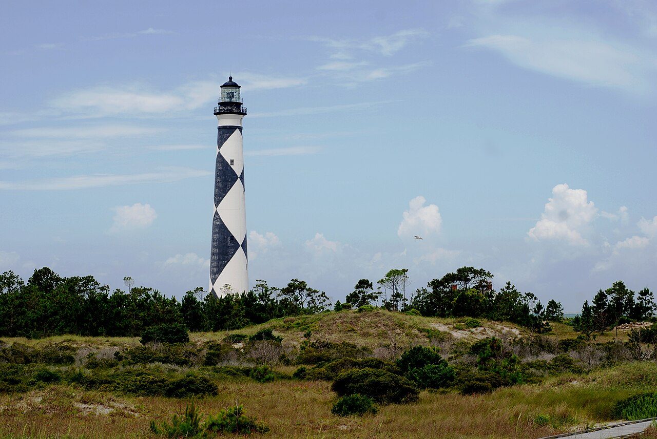
Photo: Jarek Tuszyński via Wikimedia Commons, CC BY 3.0. Cropped and resized for display.
Park facts
| Park type | National Seashore |
|---|---|
| Location | North Carolina, United States |
| Area | 28,243 acres (11,430 ha) |
| Coordinates | 34.6125° N, 76.5306° W |
| Managed by | National Park Service |
Every fact above is taken from the sources listed below; anything no source states is left blank rather than guessed.
About Cape Lookout National Seashore
Cape Lookout National Seashore preserves a 56-mile (90-km) long section of the Southern Outer Banks, or Crystal Coast, of North Carolina, United States, running from Ocracoke Inlet on the northeast to Beaufort Inlet on the southwest. Three undeveloped barrier islands make up the seashore - North and South Core Banks and Shackleford Banks. The seashore includes two historic villages on Core Banks, Shackleford's wild horses, and the Cape Lookout Lighthouse, which has a black-and-white diamond pattern. A visitor center for the seashore is located on Harkers Island.
Description from the park's Wikipedia article (CC BY-SA), linked in the sources below.
Like Cape Lookout National Seashore? Visit Cape Lookout National Seashore’s official park page for hours and current conditions before you travel.
Airports near this park
The airports a visitor would actually fly into, nearest first — each link opens its profile on our sister site AirportProfiles.
- Coastal Carolina Regional Airport (EWN) · New Bern, United States · 43.1 miles away
- Albert J Ellis Airport (OAJ) · Richlands, United States · 63.2 miles away
- Wilmington International Airport (ILM) · Wilmington, United States · 81.8 miles away
Parks nearby
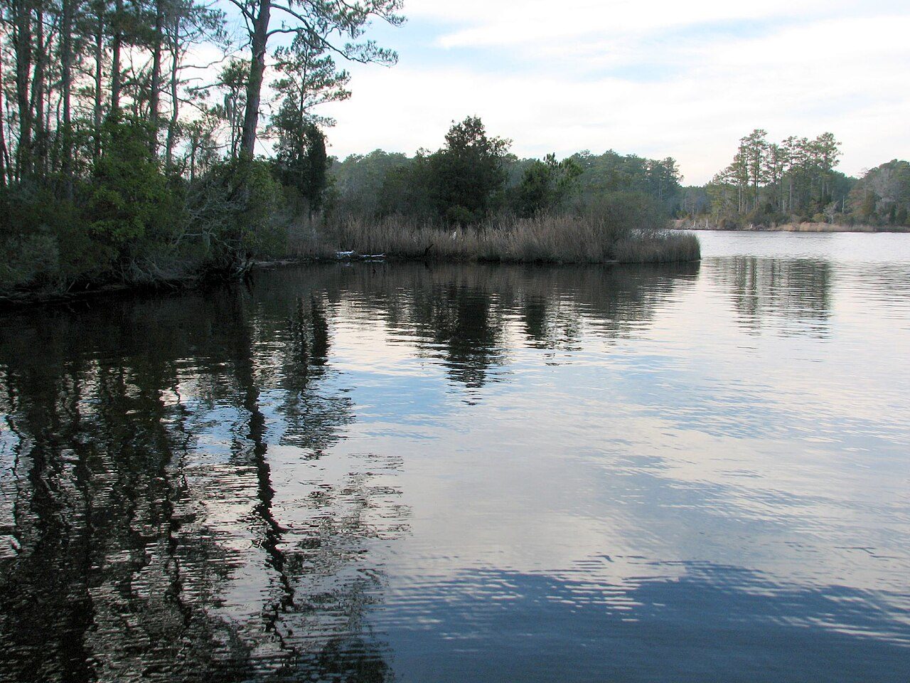
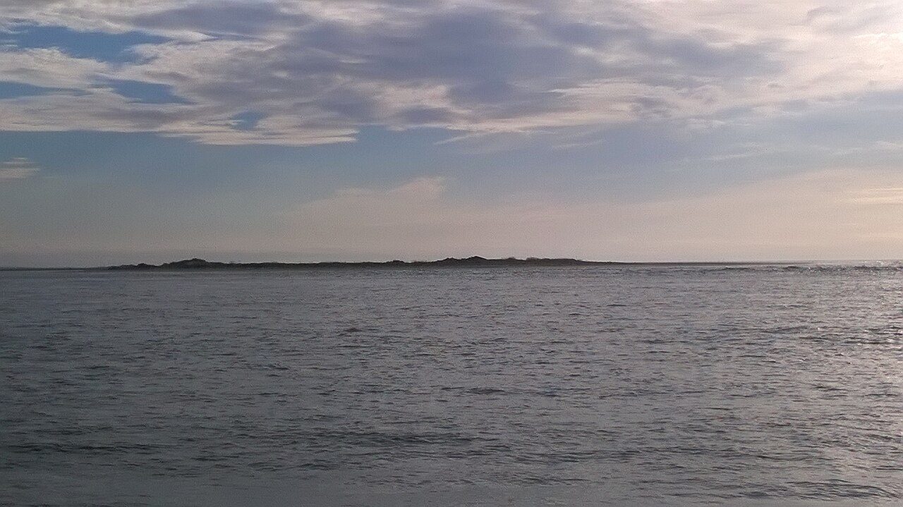
More parks in North Carolina
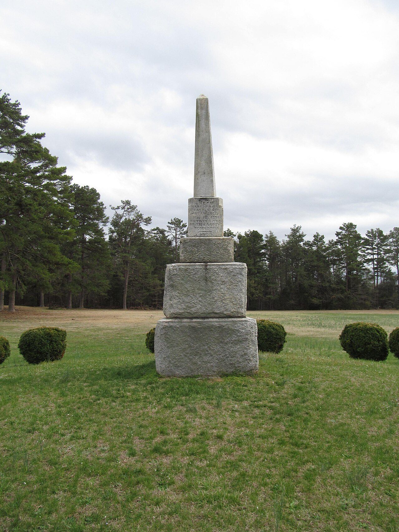
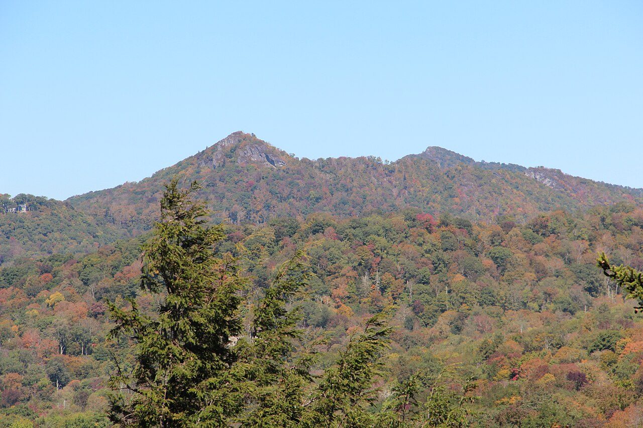

Frequently asked questions
Where is Cape Lookout National Seashore?
Cape Lookout National Seashore is in North Carolina, United States (34.6125° N, 76.5306° W).
How big is Cape Lookout National Seashore?
Cape Lookout National Seashore covers 28,243 acres (11,430 ha).
Sources
- https://en.wikipedia.org/wiki/List_of_the_United_States_National_Park_System_official_units — Wikipedia list of National Park System official units — unit name, state, official designation.
- https://en.wikipedia.org/wiki/List_of_areas_in_the_United_States_National_Park_System — Wikipedia list of National Park System areas — year established and gross area.
- https://en.wikipedia.org/wiki/Cape_Lookout_National_Seashore — Wikipedia article — description (CC BY-SA).
- https://www.nps.gov/calo/ — Official park page.