
Provincial Park · Canada
Cape Scott Provincial Park
Cape Scott Provincial Park is a provincial park in Canada, covering 55,104 acres (22,300 ha), established in 1973.
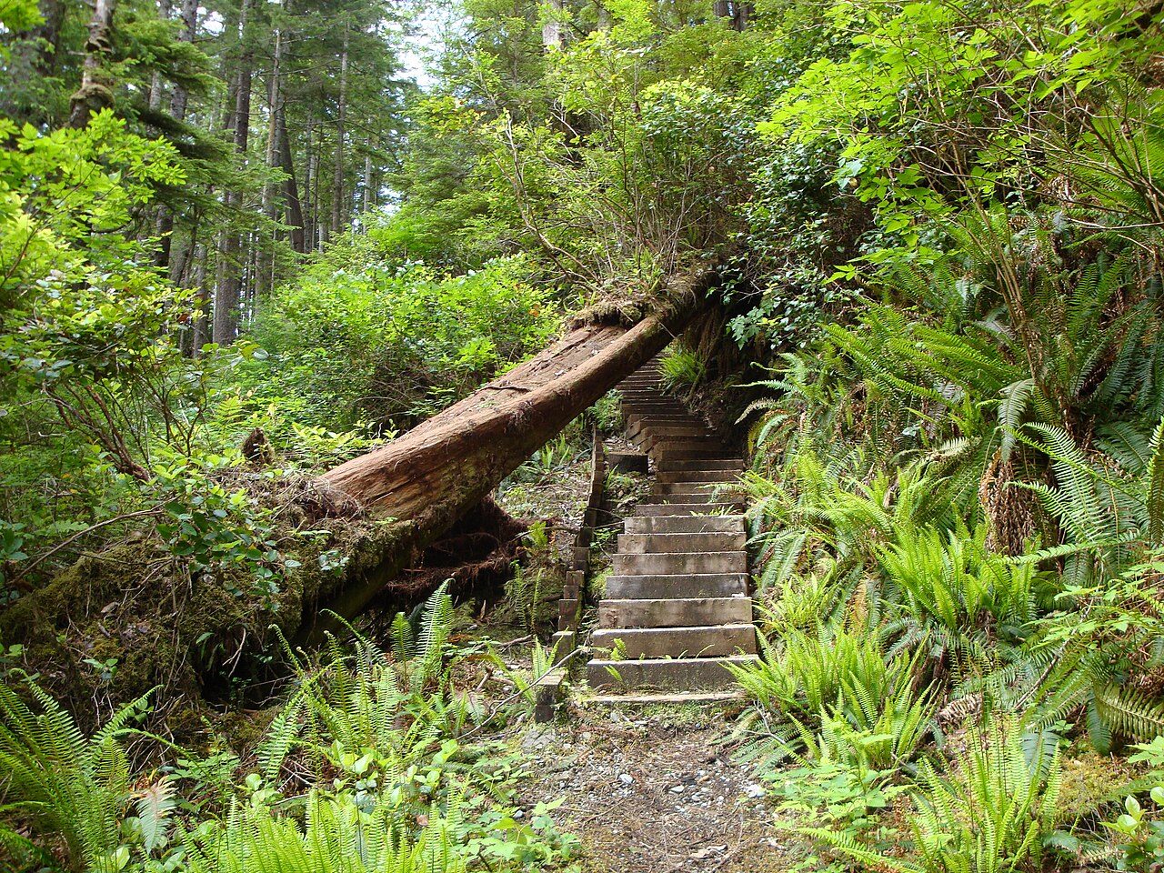
Photo: Clayoquot via Wikimedia Commons, CC BY-SA 3.0. Cropped and resized for display.
Park facts
| Park type | Provincial Park |
|---|---|
| Location | Canada |
| Area | 55,104 acres (22,300 ha) |
| Established | 1973 |
| Coordinates | 50.7333° N, 128.3330° W |
Every fact above is taken from the sources listed below; anything no source states is left blank rather than guessed.
About Cape Scott Provincial Park
Cape Scott Provincial Park extends from Shushartie in the east, then westward around Cape Scott and south to San Josef Bay. This coastline comprises the northern tip of Vancouver Island, British Columbia. The 22,294-hectare (55,090-acre) provincial park is about 563 km (350 mi) northwest of Victoria.
Description from the park's Wikipedia article (CC BY-SA), linked in the sources below.
Airports near this park
The airports a visitor would actually fly into, nearest first — each link opens its profile on our sister site AirportProfiles.
- Port Hardy Airport (YZT) · Port Hardy, Canada · 42.4 miles away
- Bella Bella (Campbell Island) Airport (ZEL) · Bella Bella, Canada · 100.6 miles away
- Bella Coola Airport (QBC) · Bella Coola, Canada · 136.5 miles away
Parks nearby
Nimpkish Lake Provincial Park
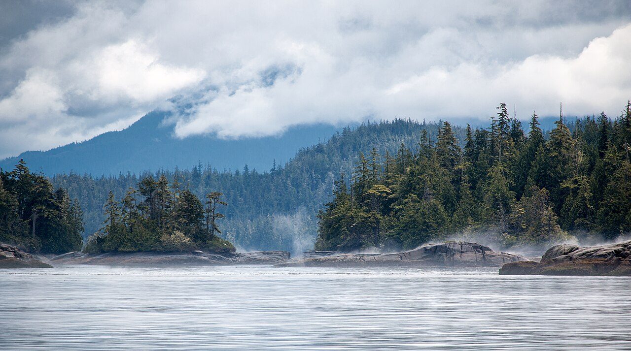
Broughton Archipelago Marine Provincial Park
Artlish Caves Provincial Park
Echo Bay Marine Provincial Park
Woss Lake Provincial Park
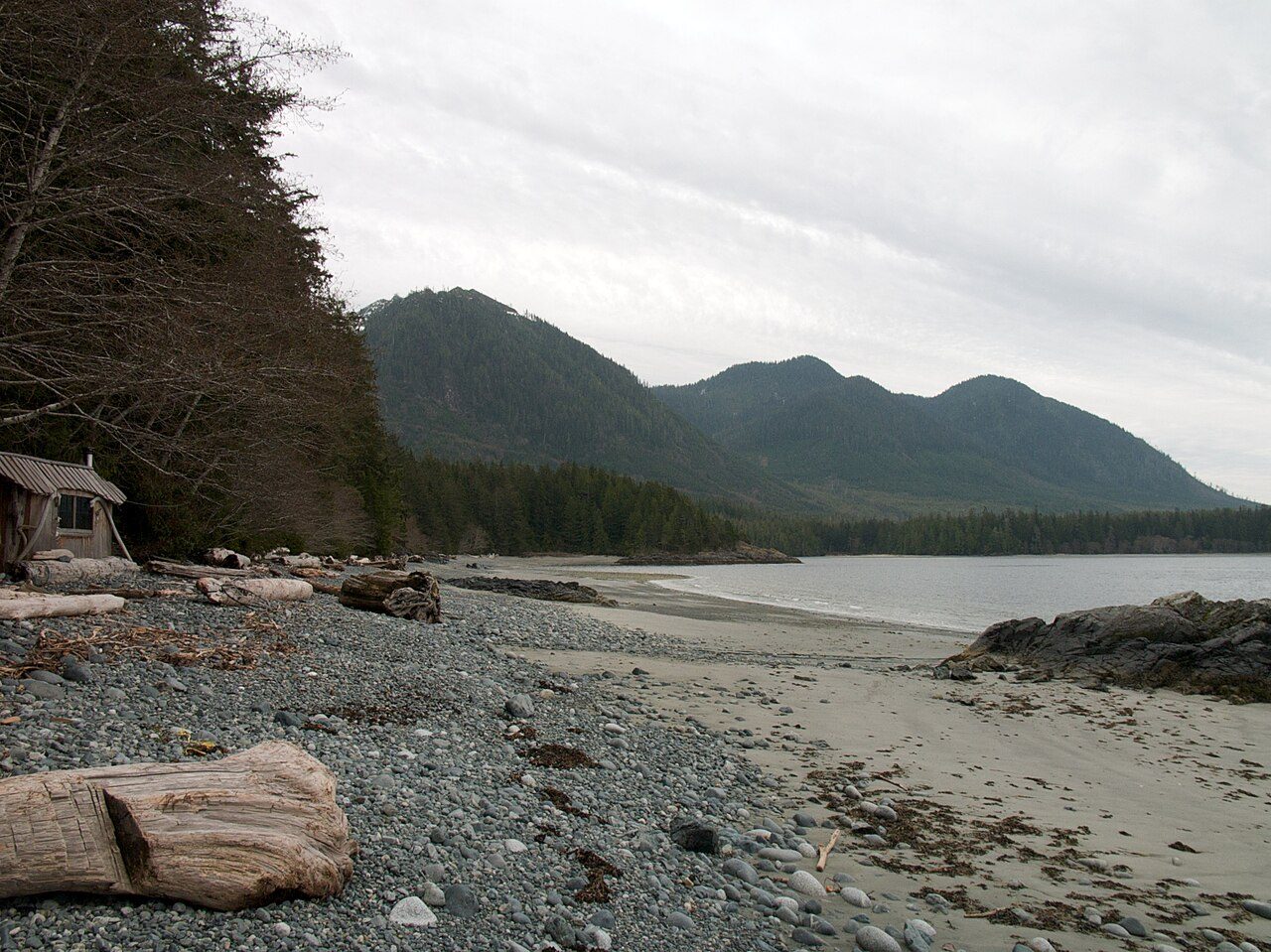
Hesquiat Peninsula Provincial Park
More parks in Canada









Frequently asked questions
Where is Cape Scott Provincial Park?
Cape Scott Provincial Park is in Canada (50.7333° N, 128.3330° W).
When was Cape Scott Provincial Park established?
Cape Scott Provincial Park was established in 1973, per the source listed at the foot of this page.
How big is Cape Scott Provincial Park?
Cape Scott Provincial Park covers 55,104 acres (22,300 ha).
Sources
- https://www.wikidata.org/wiki/Q1034490 — Wikidata (CC0) — name, country, coordinates, area, established year, highest point where stated.
- https://en.wikipedia.org/wiki/Cape_Scott_Provincial_Park — Wikipedia article — description (CC BY-SA).