
State Park · Oregon, United States
Cape Sebastian State Scenic Corridor
Cape Sebastian State Scenic Corridor is a state park in Oregon, United States.
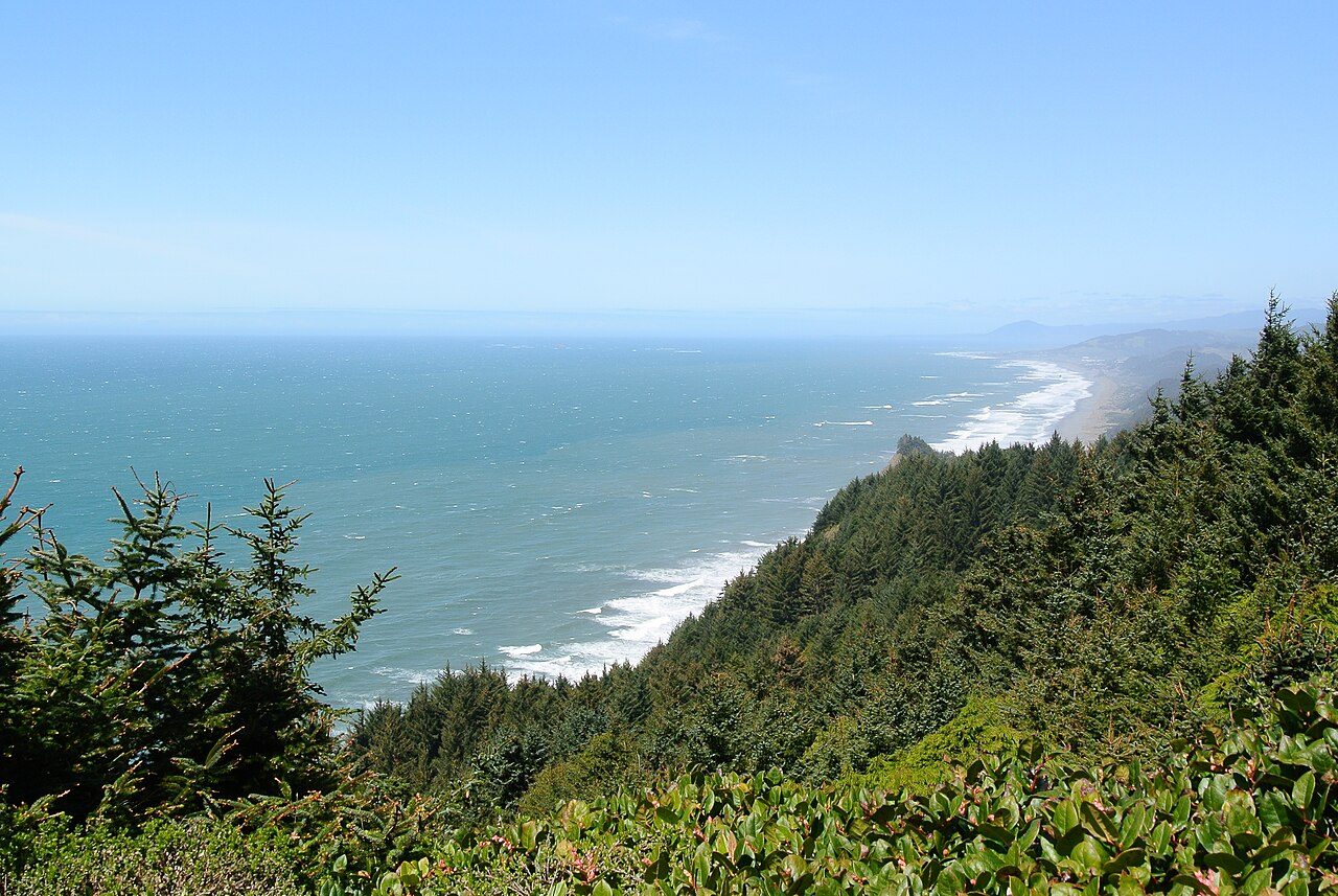
Photo: Adbar via Wikimedia Commons, CC BY-SA 3.0. Cropped and resized for display.
Park facts
| Park type | State Park |
|---|---|
| Location | South Coast, Oregon, United States |
| Coordinates | 42.3323° N, 124.4280° W |
| Managed by | Oregon state park system |
Every fact above is taken from the sources listed below; anything no source states is left blank rather than guessed.
About Cape Sebastian State Scenic Corridor
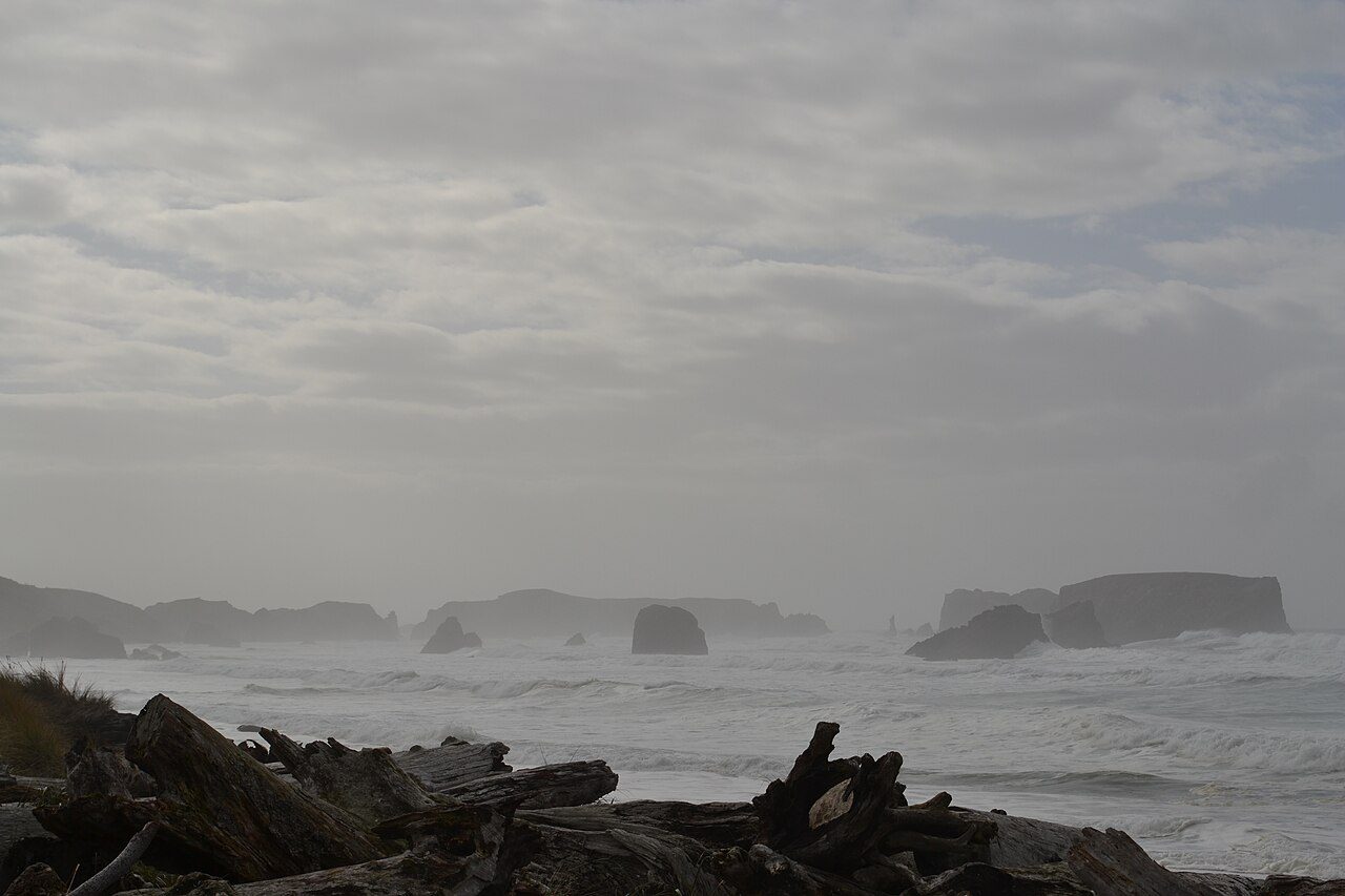
Cape Sebastian State Scenic Corridor is a state park in the U.S. state of Oregon, administered by the Oregon Parks and Recreation Department. It is between Pistol River and Gold Beach on the Pacific coastline and accessed via U.S. Route 101, with a pass elevation of approximately 740 feet (230 m), which is the second highest point of the highway in Oregon. The park includes an overlook and the 3.3-mile (5.3 km) Cape Sebastian Trail.
Description from the park's Wikipedia article (CC BY-SA), linked in the sources below.
Airports near this park
The airports a visitor would actually fly into, nearest first — each link opens its profile on our sister site AirportProfiles.
- Jack Mc Namara Field Airport (CEC) · Crescent City, United States · 39.5 miles away
- Southwest Oregon Regional Airport (OTH) · North Bend, United States · 75.5 miles away
- Rogue Valley International-Medford Airport (MFR) · Medford, United States · 79.5 miles away
Parks nearby
More parks in Oregon

Frequently asked questions
Where is Cape Sebastian State Scenic Corridor?
Cape Sebastian State Scenic Corridor is in Oregon, United States (42.3323° N, 124.4280° W).
Sources
- https://en.wikipedia.org/wiki/List_of_Oregon_state_parks — Wikipedia list of Oregon state parks — park name, county/location, size, year where the table states them.
- https://en.wikipedia.org/wiki/Cape_Sebastian_State_Scenic_Corridor — Wikipedia article — description (CC BY-SA).