
National Park · Ecuador
Cotopaxi National Park
Cotopaxi National Park is a national park in Ecuador, covering 82,516 acres (33,393 ha), established in 1975.
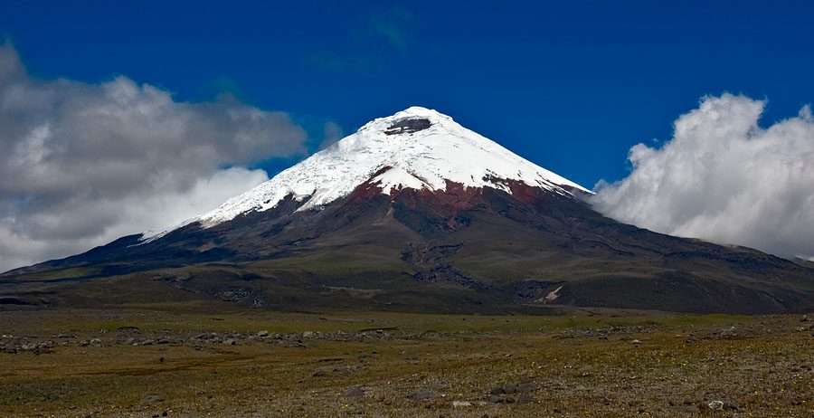
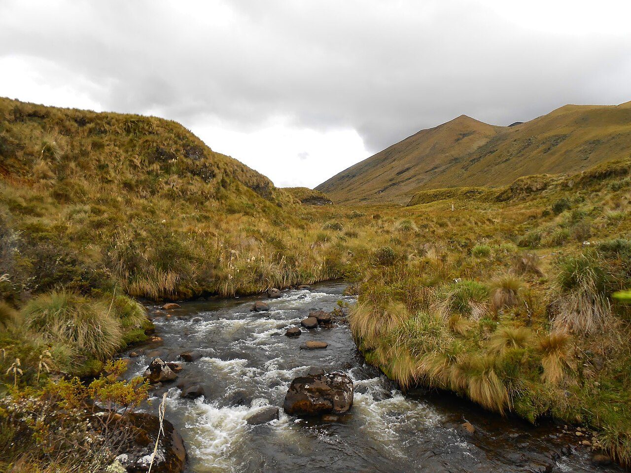
Photo: Gerard Prins via Wikimedia Commons, CC BY-SA 3.0. Cropped and resized for display.

Park facts
| Park type | National Park |
|---|---|
| Location | Ecuador |
| Area | 82,516 acres (33,393 ha) |
| Established | 1975 |
| Coordinates | 0.6842° S, 78.4372° W |
Every fact above is taken from the sources listed below; anything no source states is left blank rather than guessed.
About Cotopaxi National Park
Cotopaxi National Park (Spanish: Parque Nacional Cotopaxi) is a protected area in Ecuador situated in the Cotopaxi, Napo and Pichincha provinces, roughly 50 km (31 mi) south of Quito. The Cotopaxi volcano (meaning 'smooth neck of the moon' in Quechua; Quechua q'oto 'throat' + Aymara phakhsi 'moon') that lends its name to the park is located within its boundaries, together with two others: the dormant Rumiñawi volcano to its north-west and the historical Sincholagua volcano (last major eruption: 1877) to the south-east. Cotopaxi is among the highest active volcanoes in the world.
Description from the park's Wikipedia article (CC BY-SA), linked in the sources below.
Planning your visit
What to do
Airports near this park
The airports a visitor would actually fly into, nearest first — each link opens its profile on our sister site AirportProfiles.
- Mariscal Sucre International Airport (UIO) · Quito, Ecuador · 39.0 miles away
- Carlos Concha Torres International Airport (ESM) · Tachina, Ecuador · 141.2 miles away
- José Joaquín de Olmedo International Airport (GYE) · Guayaquil, Ecuador · 142.6 miles away
Parks nearby
More parks in Ecuador
Galápagos National Park
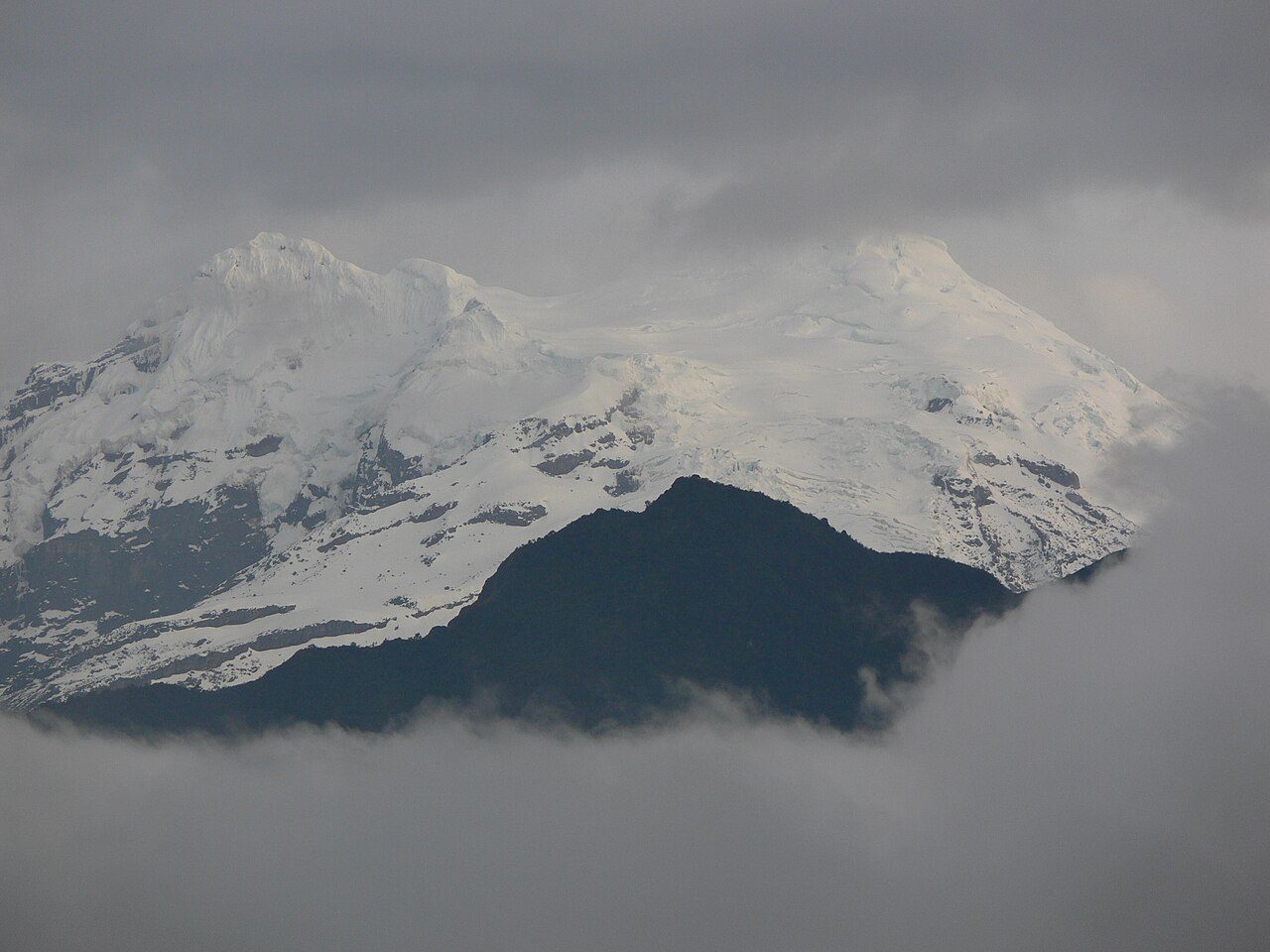
Antisana National Park
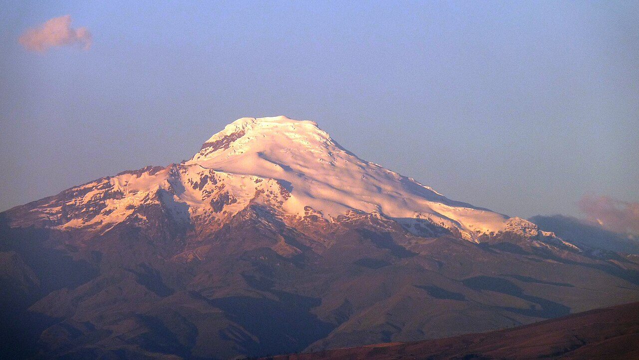
Cayambe Coca National Park
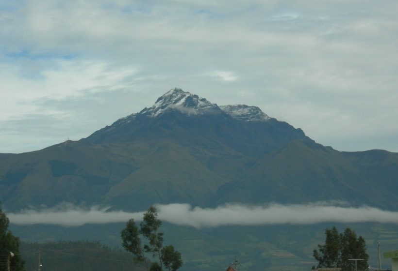
Cotacachi Cayapas Ecological Reserve
Llanganates National Park
El Cajas National Park
Machalilla National Park
Podocarpus National Park
Frequently asked questions
Where is Cotopaxi National Park?
Cotopaxi National Park is in Ecuador (0.6842° S, 78.4372° W).
When was Cotopaxi National Park established?
Cotopaxi National Park was established in 1975, per the source listed at the foot of this page.
How big is Cotopaxi National Park?
Cotopaxi National Park covers 82,516 acres (33,393 ha).
Sources
- https://www.wikidata.org/wiki/Q1851352 — Wikidata (CC0) — name, country, coordinates, area, established year, highest point where stated.
- https://en.wikipedia.org/wiki/Cotopaxi_National_Park — Wikipedia article — description (CC BY-SA).