
National Park · Ecuador
Llanganates National Park
Llanganates National Park is a national park in Ecuador, covering 543,431 acres (219,919 ha), established in 1996.
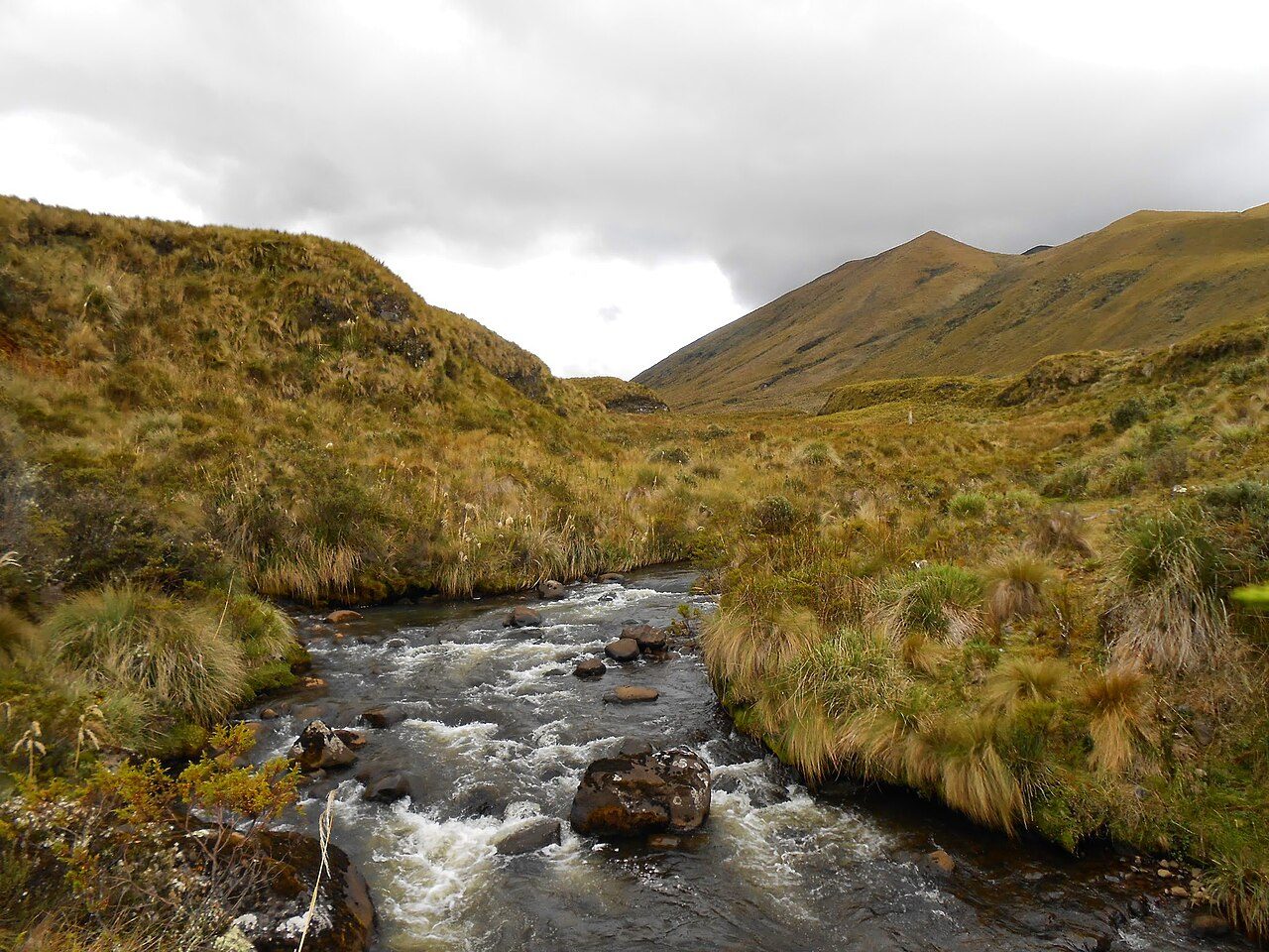
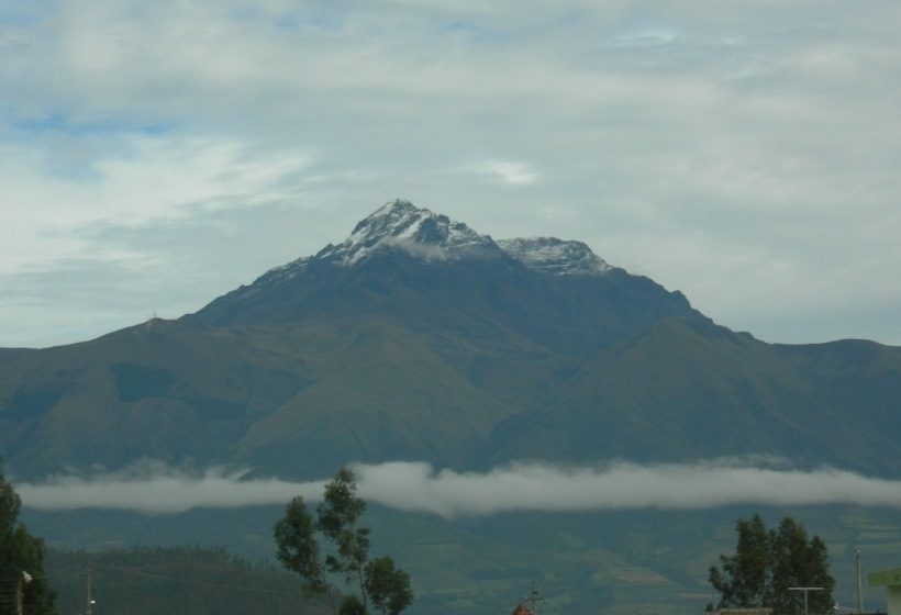
Photo: Cristian Paliz via Wikimedia Commons, CC BY-SA 3.0. Cropped and resized for display.
Park facts
| Park type | National Park |
|---|---|
| Location | Ecuador |
| Area | 543,431 acres (219,919 ha) |
| Established | 1996 |
| Coordinates | 1.1333° S, 78.2333° W |
Every fact above is taken from the sources listed below; anything no source states is left blank rather than guessed.
About Llanganates National Park
Llanganates National Park (Spanish: Parque Nacional Llanganates) is a protected area in Ecuador situated in the Cotopaxi Province, Napo Province, Pastaza Province and Tungurahua Province. Located within the park is Cerro Hermoso ("beautiful mountain"), a 4,570 meters (14,990 ft) high peak that is a popular hiking destination. The park is famous for the Treasure of the Llanganatis. The park can be accessed from a number of directions, but visitors usually come through towns such as Salcedo, Patate, Pillaro, Baños, and Rio Verde.
Description from the park's Wikipedia article (CC BY-SA), linked in the sources below.
Planning your visit
What to do
Airports near this park
The airports a visitor would actually fly into, nearest first — each link opens its profile on our sister site AirportProfiles.
- Mariscal Sucre International Airport (UIO) · Quito, Ecuador · 70.1 miles away
- José Joaquín de Olmedo International Airport (GYE) · Guayaquil, Ecuador · 134.2 miles away
Parks nearby

More parks in Ecuador
Frequently asked questions
Where is Llanganates National Park?
Llanganates National Park is in Ecuador (1.1333° S, 78.2333° W).
When was Llanganates National Park established?
Llanganates National Park was established in 1996, per the source listed at the foot of this page.
How big is Llanganates National Park?
Llanganates National Park covers 543,431 acres (219,919 ha).
Sources
- https://www.wikidata.org/wiki/Q1120709 — Wikidata (CC0) — name, country, coordinates, area, established year, highest point where stated.
- https://en.wikipedia.org/wiki/Llanganates_National_Park — Wikipedia article — description (CC BY-SA).