
National Park · Ecuador
Sangay National Park
Sangay National Park is a national park in Ecuador, covering 671,940 acres (271,925 ha), established in 1979.
National Park · Ecuador
No freely licensed photograph of this park is in our library yet — rather than borrow a picture of somewhere else, this profile leads with its verified facts.
Park facts
| Park type | National Park |
|---|---|
| Location | Ecuador |
| Area | 671,940 acres (271,925 ha) |
| Established | 1979 |
| Coordinates | 1.8333° S, 78.3333° W |
Every fact above is taken from the sources listed below; anything no source states is left blank rather than guessed.
About Sangay National Park
Sangay National Park (Spanish: Parque Nacional Sangay) is a national park located in the Morona-Santiago, Chimborazo, Tungurahua, Cañar, and Azuay provinces of Ecuador. The park contains two active volcanoes (Tungurahua and Sangay), one extinct volcano El Altar (Kapak Urku). Protecting a range of elevations from 900 to 5,319 meters (2,953 to 17,451 ft) above sea level, Sangay National Park contains a wide variety of habitats, including glaciers, volcanic landscapes, tropical rainforests, cloud forests, wetlands, grasslands, and one of the largest regions of páramo (high elevation moorlands) in Ecuador.
Description from the park's Wikipedia article (CC BY-SA), linked in the sources below.
Planning your visit
What to do
Airports near this park
The airports a visitor would actually fly into, nearest first — each link opens its profile on our sister site AirportProfiles.
- José Joaquín de Olmedo International Airport (GYE) · Guayaquil, Ecuador · 109.4 miles away
- Mariscal Sucre International Airport (UIO) · Quito, Ecuador · 118.0 miles away
Parks nearby
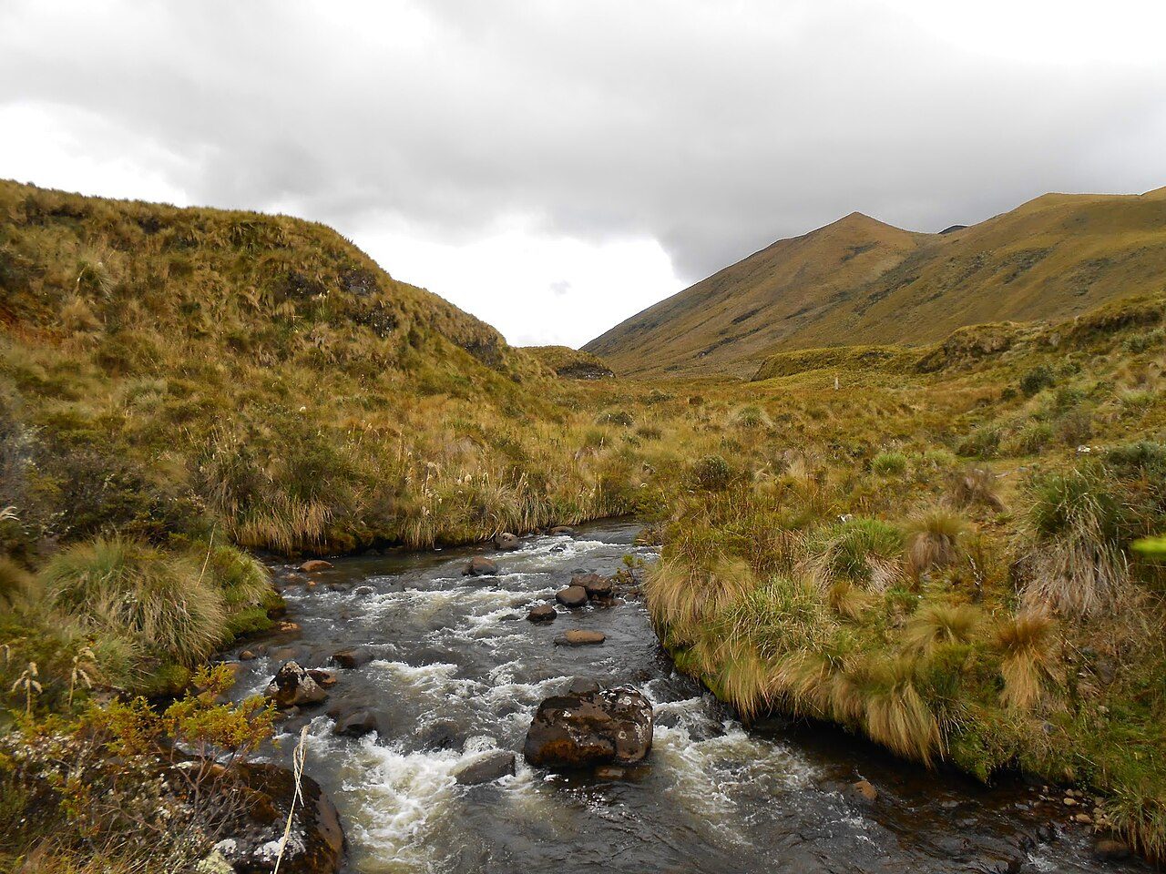
Llanganates National Park
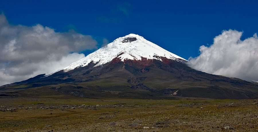
Cotopaxi National Park
Siete Iglesias Municipal Ecological Conservation Area
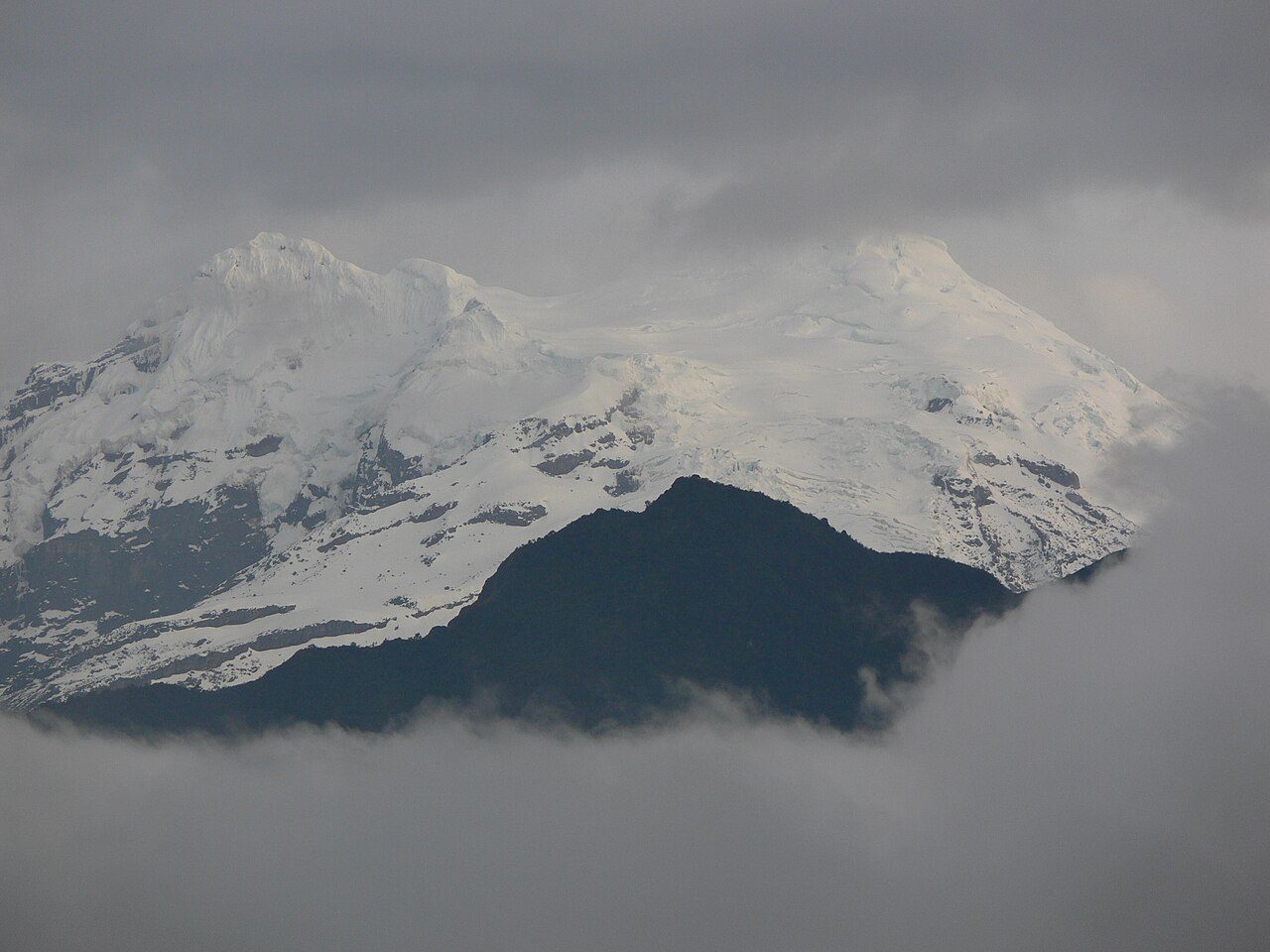
Antisana National Park
El Cajas National Park
Ichigkat muja – Cordillera del Condor National Park
More parks in Ecuador
Frequently asked questions
Where is Sangay National Park?
Sangay National Park is in Ecuador (1.8333° S, 78.3333° W).
When was Sangay National Park established?
Sangay National Park was established in 1979, per the source listed at the foot of this page.
How big is Sangay National Park?
Sangay National Park covers 671,940 acres (271,925 ha).
Sources
- https://www.wikidata.org/wiki/Q839603 — Wikidata (CC0) — name, country, coordinates, area, established year, highest point where stated.
- https://en.wikipedia.org/wiki/Sangay_National_Park — Wikipedia article — description (CC BY-SA).