
State Natural Area · Oregon, United States
Devils Punch Bowl State Natural Area
Devils Punch Bowl State Natural Area is a state natural area in Oregon, United States, established in 1929.
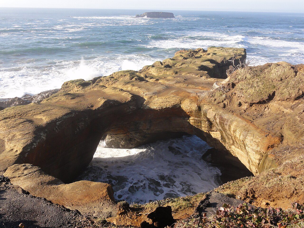
Photo: .jorgenev via Wikimedia Commons, CC0. Cropped and resized for display.
Park facts
| Park type | State Natural Area |
|---|---|
| Location | Central Coast, Oregon, United States |
| Established | 1929 |
| Coordinates | 44.7464° N, 124.0669° W |
| Managed by | Oregon state park system |
Every fact above is taken from the sources listed below; anything no source states is left blank rather than guessed.
About Devils Punch Bowl State Natural Area
Devils Punch Bowl State Natural Area is a state day use park on the central Oregon Coast in the United States. It is centered on a large bowl naturally carved in a rock headland which is partially open to the Pacific Ocean. Waves enter the bowl and often violently churn, swirl, and foam. Outside the bowl, ocean conditions are attractive to surfers near a large offshore rock pinnacle named Gull Rock, located about 1⁄2 mile (800 m) west-northwest of Devils Punch Bowl, which funnels and concentrates waves easily seen from the park.
Description from the park's Wikipedia article (CC BY-SA), linked in the sources below.
Airports near this park
The airports a visitor would actually fly into, nearest first — each link opens its profile on our sister site AirportProfiles.
- Portland International Airport (PDX) · Portland, United States · 92.2 miles away
Parks nearby
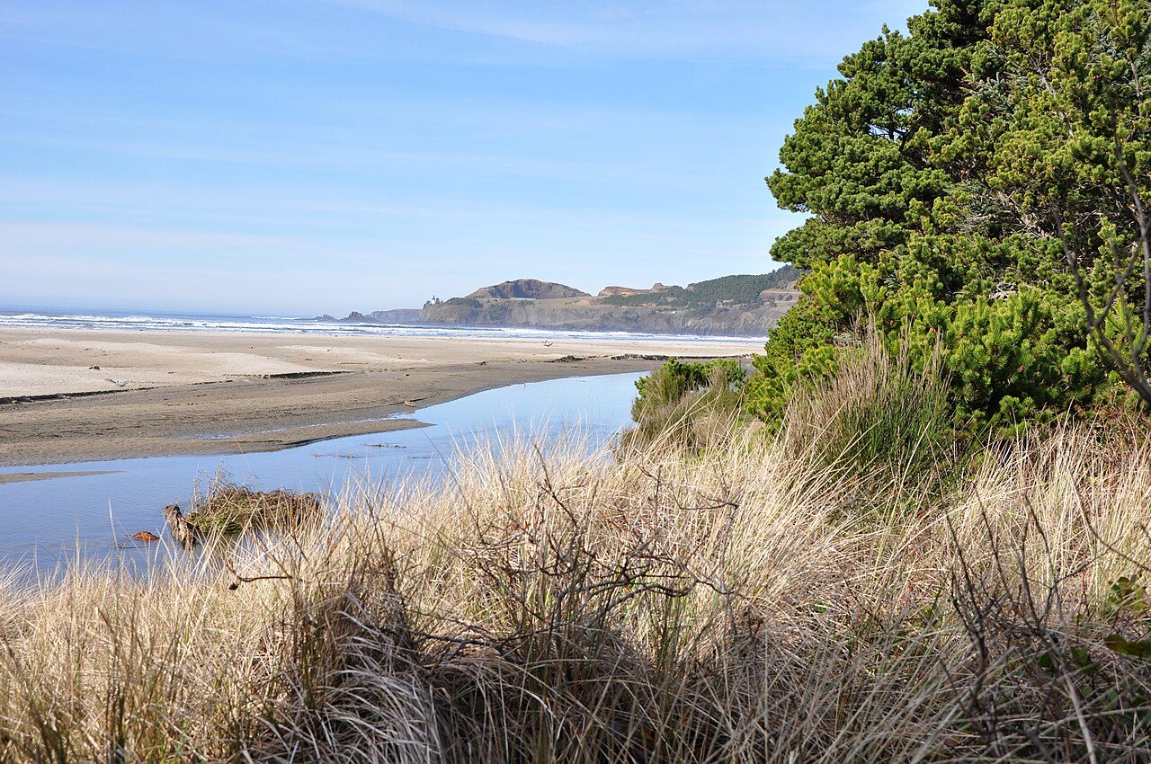
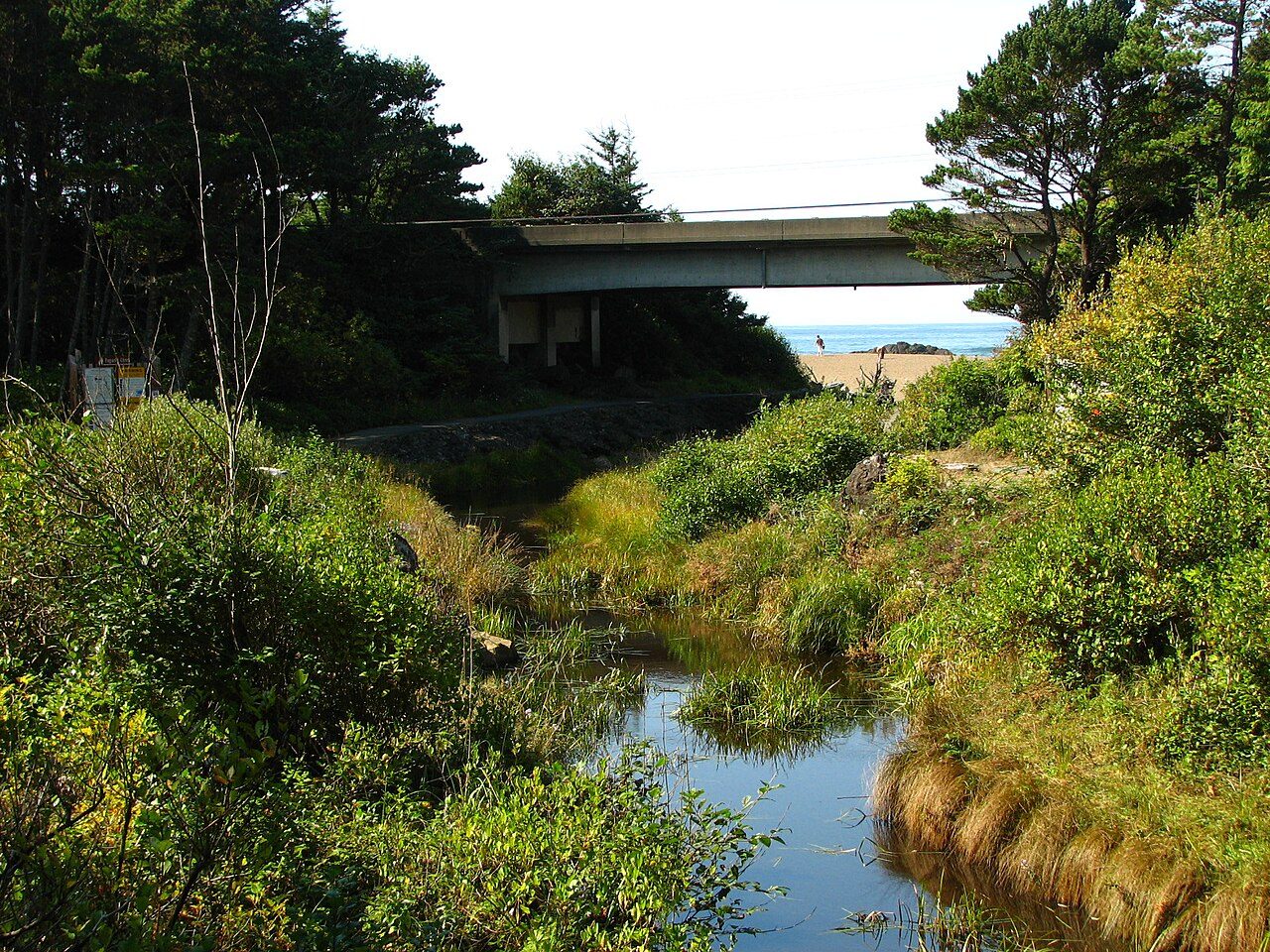
More parks in Oregon
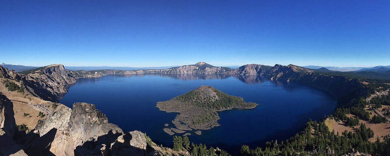
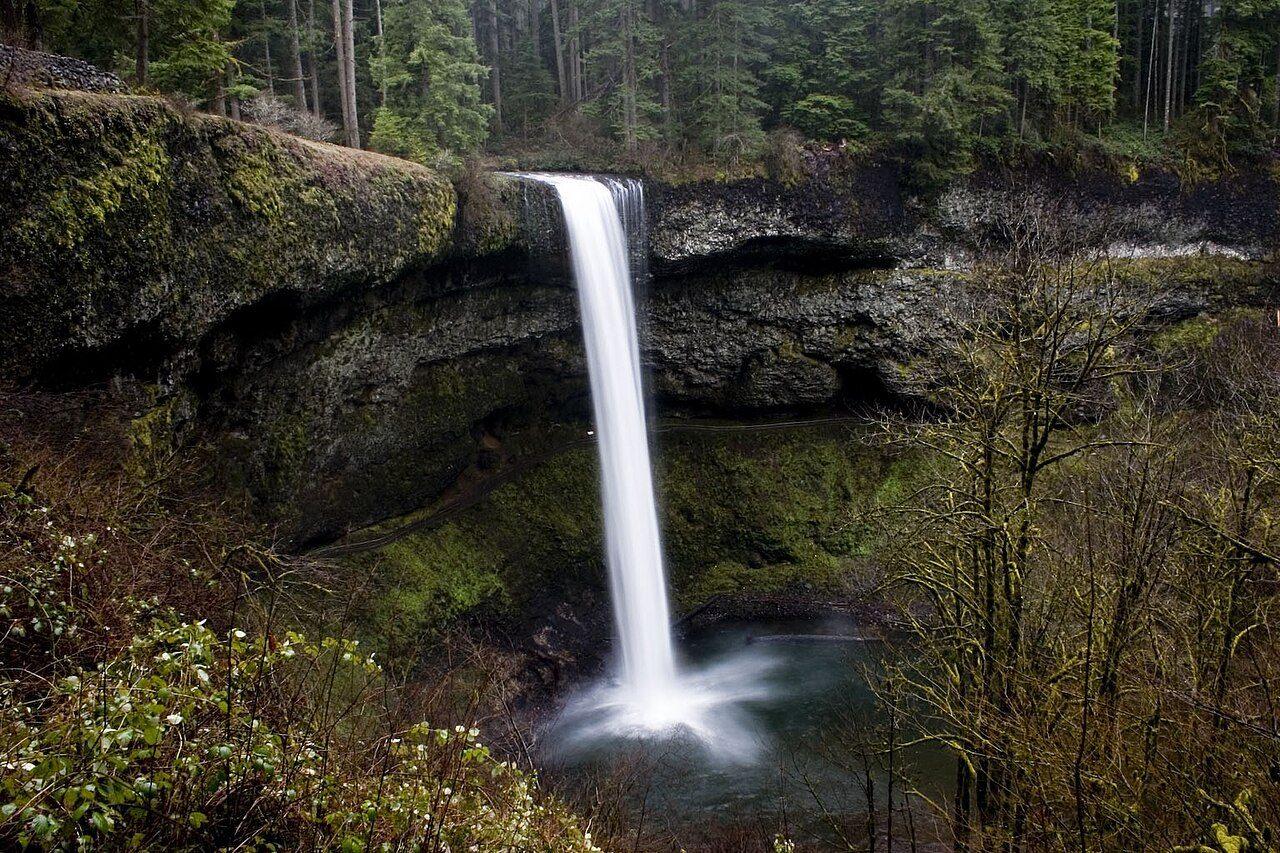

Frequently asked questions
Where is Devils Punch Bowl State Natural Area?
Devils Punch Bowl State Natural Area is in Oregon, United States (44.7464° N, 124.0669° W).
When was Devils Punch Bowl State Natural Area established?
Devils Punch Bowl State Natural Area was established in 1929, per the source listed at the foot of this page.
Sources
- https://en.wikipedia.org/wiki/List_of_Oregon_state_parks — Wikipedia list of Oregon state parks — park name, county/location, size, year where the table states them.
- https://en.wikipedia.org/wiki/Devils_Punch_Bowl_State_Natural_Area — Wikipedia article — description (CC BY-SA).