
National Park · Thailand men's national football team
Doi Pha Hom Pok National Park
Doi Pha Hom Pok National Park is a national park in Thailand men's national football team, covering 129,483 acres (52,400 ha), established in 2000.

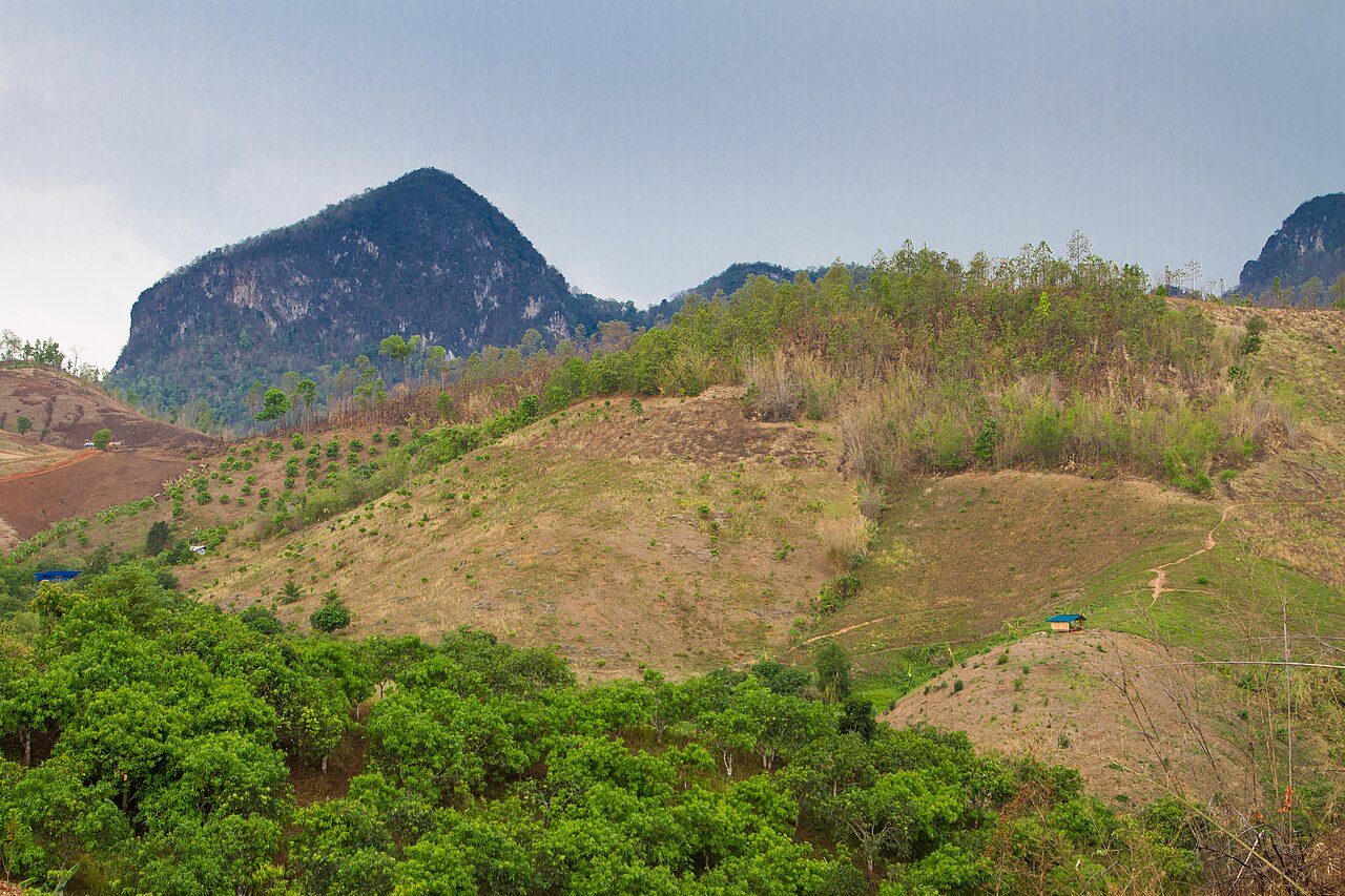
Photo: Eartheart123 via Wikimedia Commons, CC BY-SA 3.0. Cropped and resized for display.
Park facts
| Park type | National Park |
|---|---|
| Location | Thailand men's national football team |
| Area | 129,483 acres (52,400 ha) |
| Established | 2000 |
| Coordinates | 19.9878° N, 99.1464° E |
Every fact above is taken from the sources listed below; anything no source states is left blank rather than guessed.
About Doi Pha Hom Pok National Park
Doi Pha Hom Pok National Park (Thai: อุทยานแห่งชาติดอยผ้าห่มปก), formerly known as Mae Fang National Park and Doi Fa Hom Pok National Park, is the northernmost national park in Thailand. It straddles Fang, Mae Ai, and Chai Prakan Districts of Chiang Mai Province. The park covers 327,500 rai, about 524 square kilometres (202 sq mi) of the mountain area of the Daen Lao Range, at the border with Myanmar. The tallest peak is Doi Pha Hom Pok at 2,285 metres (7,497 ft), the second highest in Thailand.
Description from the park's Wikipedia article (CC BY-SA), linked in the sources below.
Planning your visit
What to do
Airports near this park
The airports a visitor would actually fly into, nearest first — each link opens its profile on our sister site AirportProfiles.
- Mae Fah Luang - Chiang Rai International Airport (CEI) · Chiang Rai, Thailand · 47.9 miles away
- Chiang Mai International Airport (CNX) · Chiang Mai, Thailand · 85.2 miles away
Parks nearby



Frequently asked questions
Where is Doi Pha Hom Pok National Park?
Doi Pha Hom Pok National Park is in Thailand men's national football team (19.9878° N, 99.1464° E).
When was Doi Pha Hom Pok National Park established?
Doi Pha Hom Pok National Park was established in 2000, per the source listed at the foot of this page.
How big is Doi Pha Hom Pok National Park?
Doi Pha Hom Pok National Park covers 129,483 acres (52,400 ha).
Sources
- https://www.wikidata.org/wiki/Q175708 — Wikidata (CC0) — name, country, coordinates, area, established year, highest point where stated.
- https://en.wikipedia.org/wiki/Doi_Pha_Hom_Pok_National_Park — Wikipedia article — description (CC BY-SA).