
National Park · Thailand
Doi Wiang Pha National Park
Doi Wiang Pha National Park is a national park in Thailand.
National Park · Thailand
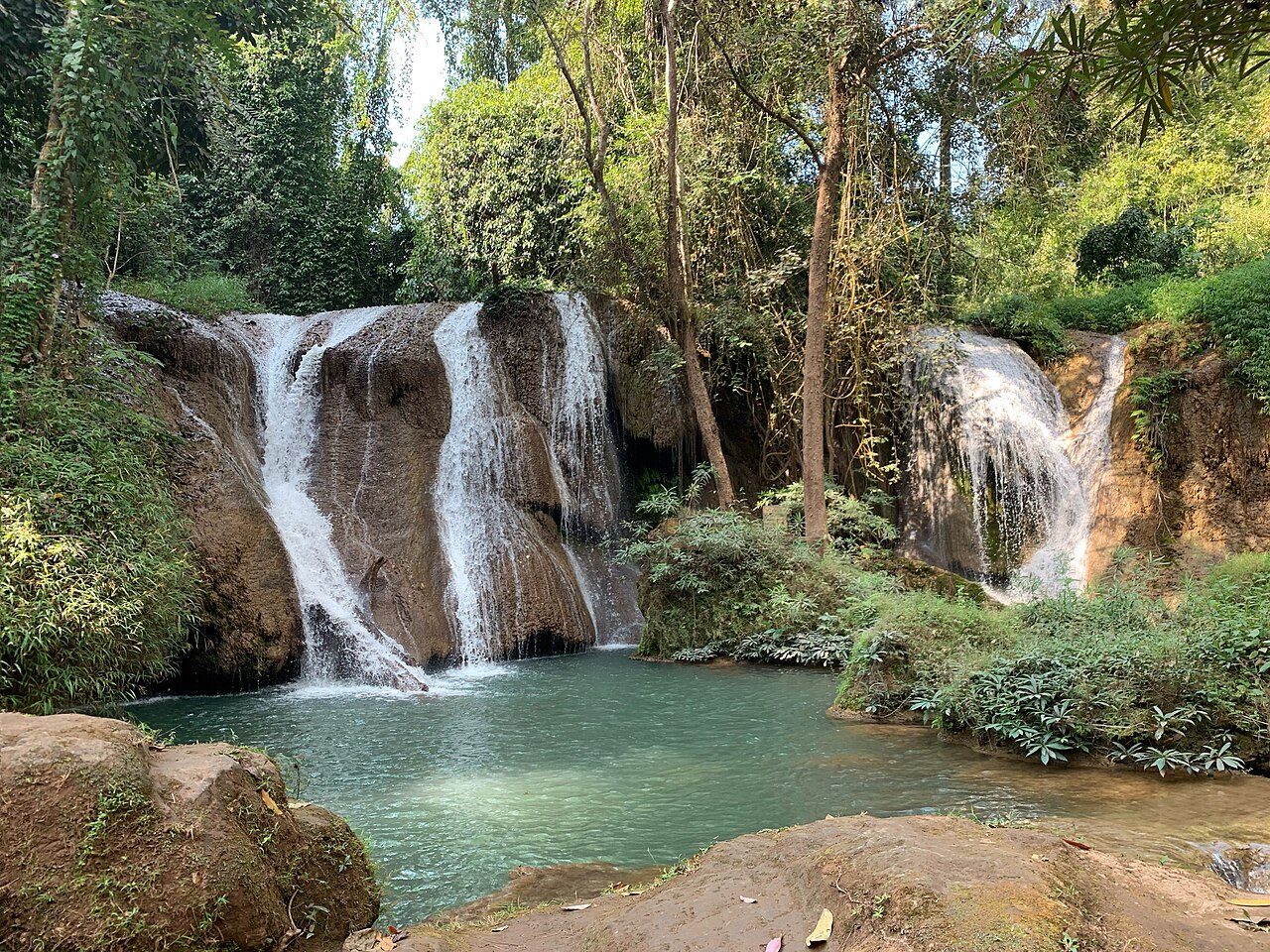
No freely licensed photograph of this park is in our library yet — rather than borrow a picture of somewhere else, this profile leads with its verified facts.
Park facts
| Park type | National Park |
|---|---|
| Location | Thailand |
| Coordinates | 19.6775° N, 99.1983° E |
Every fact above is taken from the sources listed below; anything no source states is left blank rather than guessed.
About Doi Wiang Pha National Park
Doi Wiang Pha National Park (Thai: อุทยานแห่งชาติดอยเวียงผา, Uttayan Haeng Chat Doi Wiang Pha) is a protected area in northern Thailand, covering 583 squarekilometers across Chai Prakan and Fang Districts in Chiang Mai Province and Mae Suai District in Chiang Rai Province. It features rugged mountains, with Doi Wiang Pha Peak reaching 1,834 meters, and serves as a watershed for the Fang River and Lao River tributaries.The park contains diverse forests, supporting wildlife such as muntjacs, wild boars, and serows.
Description from the park's Wikipedia article (CC BY-SA), linked in the sources below.
Planning your visit
What to do
Airports near this park
The airports a visitor would actually fly into, nearest first — each link opens its profile on our sister site AirportProfiles.
- Mae Fah Luang - Chiang Rai International Airport (CEI) · Chiang Rai, Thailand · 48.4 miles away
- Chiang Mai International Airport (CNX) · Chiang Mai, Thailand · 64.8 miles away
Parks nearby


More parks in Thailand
Frequently asked questions
Where is Doi Wiang Pha National Park?
Doi Wiang Pha National Park is in Thailand (19.6775° N, 99.1983° E).
Sources
- https://www.wikidata.org/wiki/Q12653137 — Wikidata (CC0) — name, country, coordinates, area, established year, highest point where stated.
- https://en.wikipedia.org/wiki/Doi_Wiang_Pha_National_Park — Wikipedia article — description (CC BY-SA).