
National Park · Thailand
Pha Daeng National Park
Pha Daeng National Park is a national park in Thailand, established in 2000.
National Park · Thailand
No freely licensed photograph of this park is in our library yet — rather than borrow a picture of somewhere else, this profile leads with its verified facts.
Park facts
| Park type | National Park |
|---|---|
| Location | Thailand |
| Established | 2000 |
| Coordinates | 19.3667° N, 98.9667° E |
Every fact above is taken from the sources listed below; anything no source states is left blank rather than guessed.
About Pha Daeng National Park
Pha Daeng National Park (Thai: อุทยานแห่งชาติผาแดง), formerly known as Chiang Dao National Park, is a national park in Chiang Mai Province, Thailand. The park covers 702,085 rai ~ 1,123 square kilometres (434 sq mi) of the Pha Daeng mountain areas of the Daen Lao Range near the border with Burma, just north of Chiang Dao Wildlife Sanctuary. The tallest summit is 1,794 m high Doi Puk Phakka.
Description from the park's Wikipedia article (CC BY-SA), linked in the sources below.
Airports near this park
The airports a visitor would actually fly into, nearest first — each link opens its profile on our sister site AirportProfiles.
- Chiang Mai International Airport (CNX) · Chiang Mai, Thailand · 41.4 miles away
- Mae Fah Luang - Chiang Rai International Airport (CEI) · Chiang Rai, Thailand · 72.1 miles away
Parks nearby
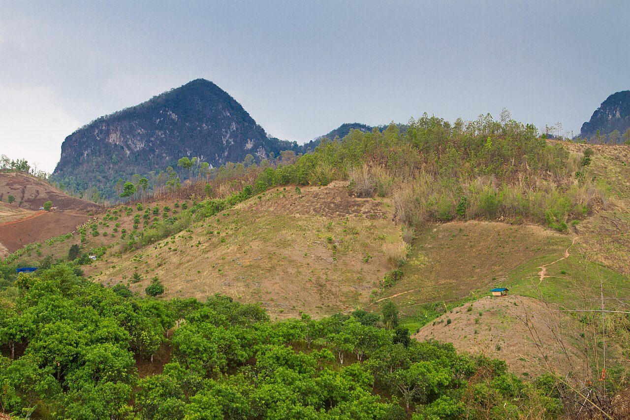


More parks in Thailand

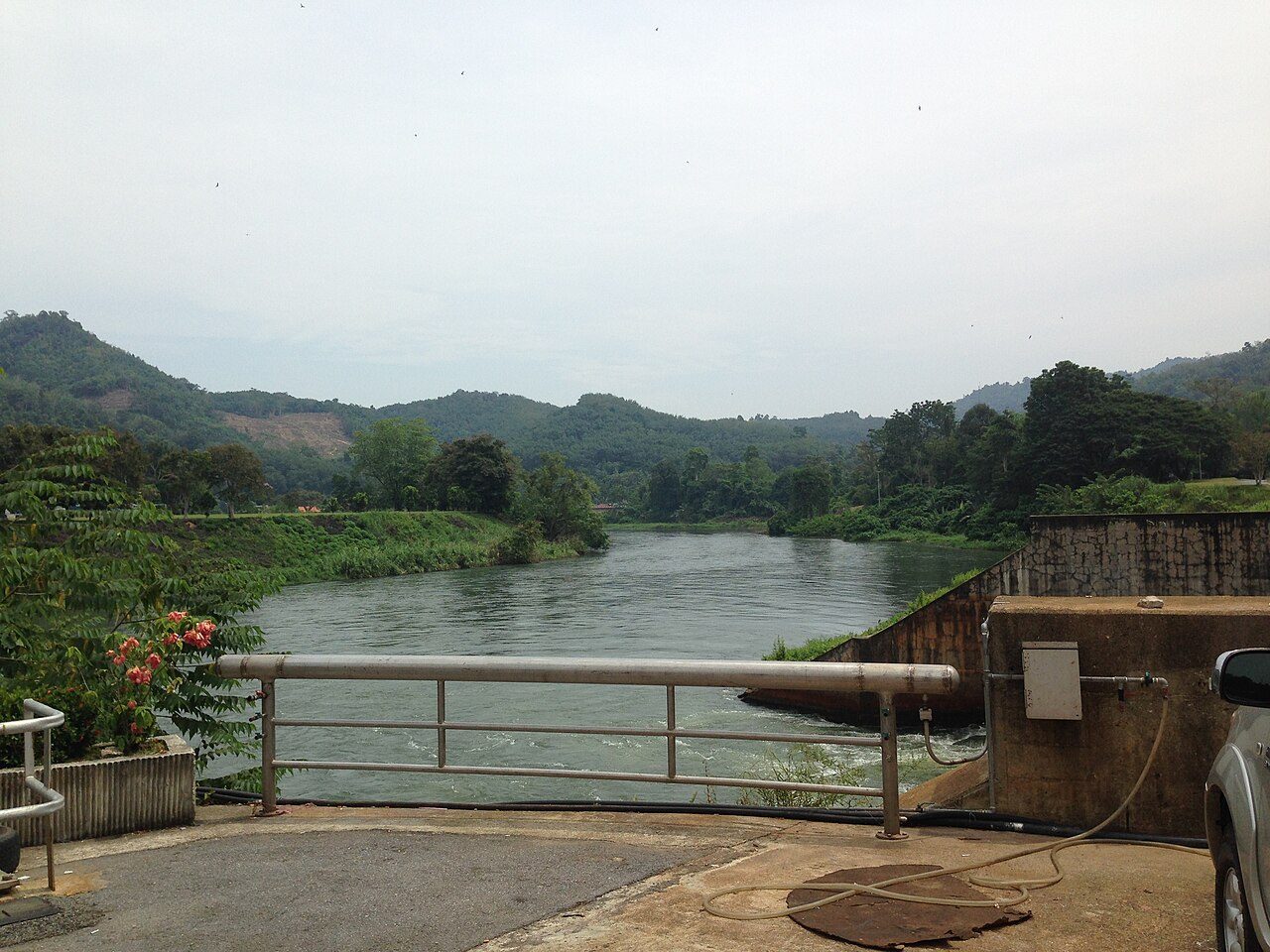
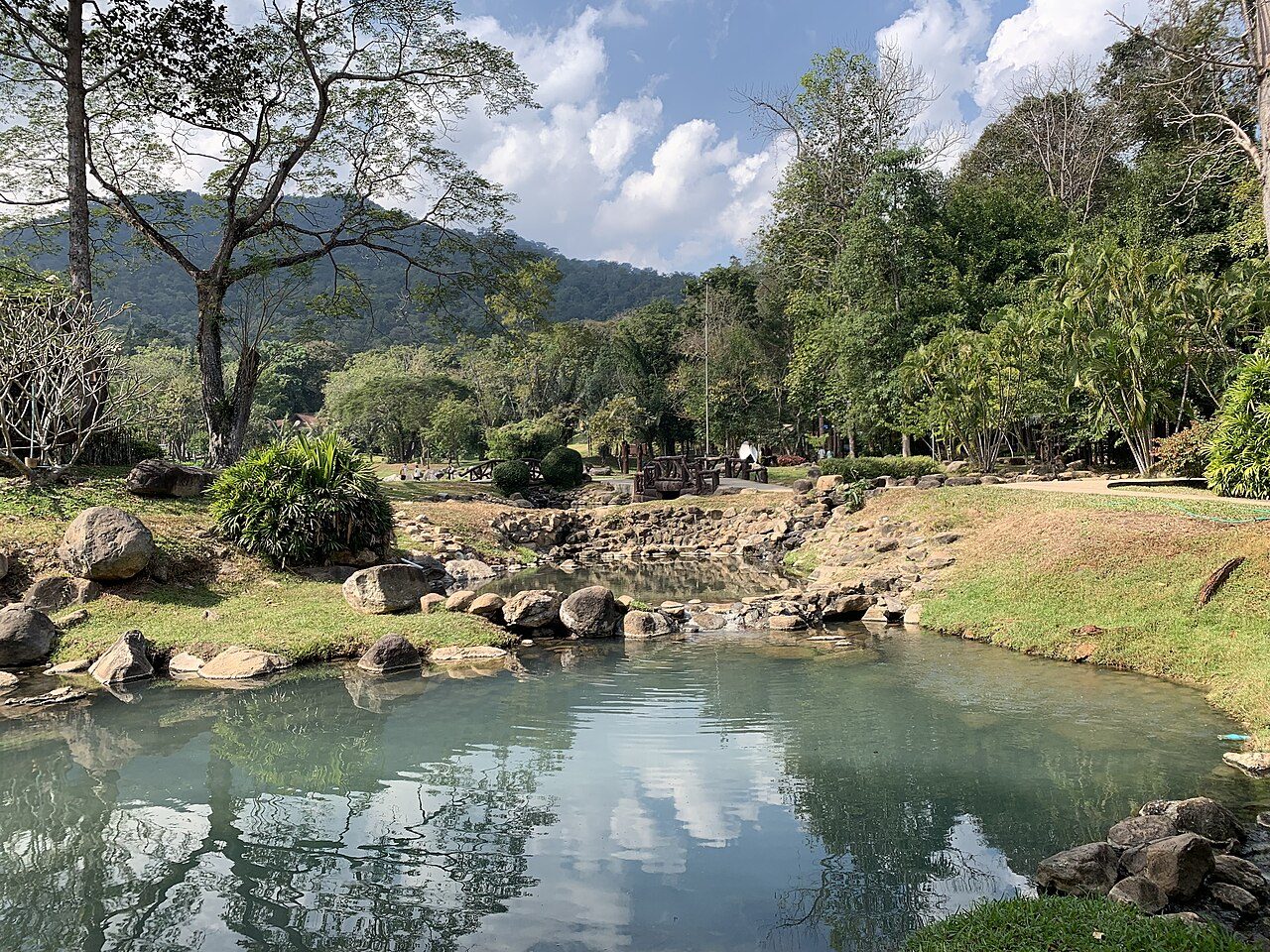

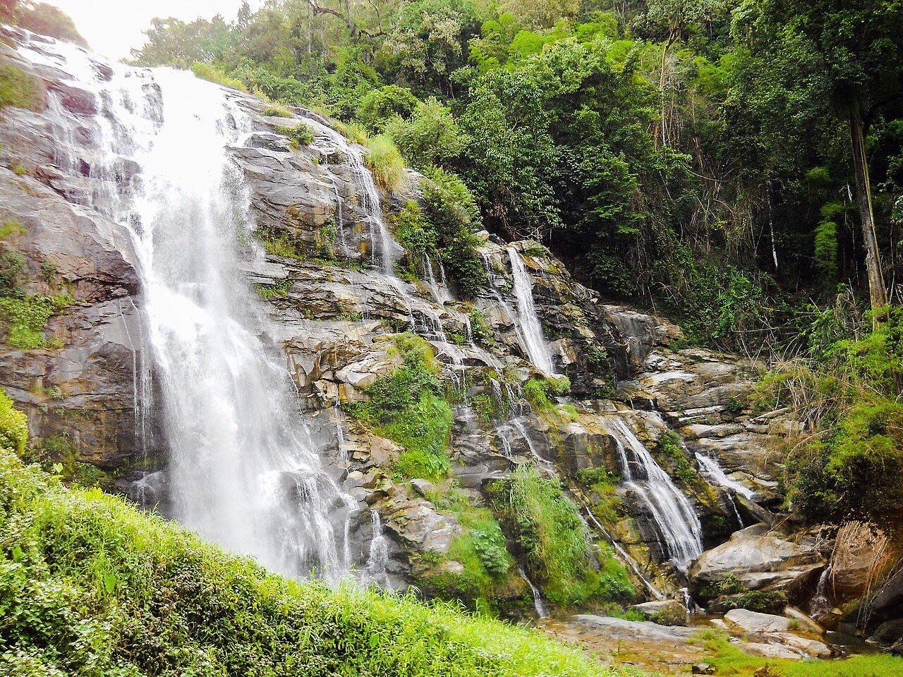

Frequently asked questions
Where is Pha Daeng National Park?
Pha Daeng National Park is in Thailand (19.3667° N, 98.9667° E).
When was Pha Daeng National Park established?
Pha Daeng National Park was established in 2000, per the source listed at the foot of this page.
Sources
- https://www.wikidata.org/wiki/Q5764161 — Wikidata (CC0) — name, country, coordinates, area, established year, highest point where stated.
- https://en.wikipedia.org/wiki/Pha_Daeng_National_Park — Wikipedia article — description (CC BY-SA).