
State Park · Georgia, United States
Fort Yargo State Park
Fort Yargo State Park is a state park in Georgia, United States.
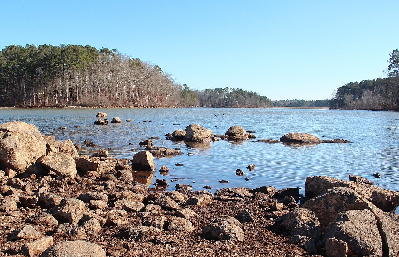
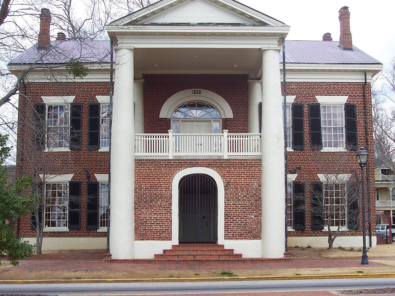
Photo: Thomson200 via Wikimedia Commons, CC0. Cropped and resized for display.
Park facts
| Park type | State Park |
|---|---|
| Location | Barrow, Georgia, United States |
| Coordinates | 33.9684° N, 83.7302° W |
| Managed by | Georgia state park system |
Every fact above is taken from the sources listed below; anything no source states is left blank rather than guessed.
About Fort Yargo State Park
Fort Yargo State Park is a 1,816-acre (7.35 km2) U.S. state park located in Winder, Georgia, situated between Athens and Atlanta. The park is located 1 mile south of Winder and is accessible by Georgia State Route 81. There is a 260-acre (1.1 km2) lake with a public beach. Available activities at Fort Yargo include GeoCaching, hiking, mountain biking, disc golf, boating (including johnboat, pedal boat, and canoe rentals), lake swimming, fishing, picnicking, and miniature golf. The park also features a log fort built in 1792 by settlers, for protection against the Creek and Cherokee.
Description from the park's Wikipedia article (CC BY-SA), linked in the sources below.
Planning your visit
What to do
Getting there
| Nearest town | Winder, Georgia |
|---|---|
| Getting there | about 1 mile south of Winder |
Airports near this park
The airports a visitor would actually fly into, nearest first — each link opens its profile on our sister site AirportProfiles.
- Hartsfield Jackson Atlanta International Airport (ATL) · Atlanta, United States · 46.2 miles away
- McGhee Tyson Airport (TYS) · Knoxville/Maryville, United States · 128.2 miles away
Parks nearby
More parks in Georgia

Frequently asked questions
Where is Fort Yargo State Park?
Fort Yargo State Park is in Georgia, United States (33.9684° N, 83.7302° W).
How do I get to Fort Yargo State Park?
The nearest town is Winder, Georgia. about 1 mile south of Winder.
Sources
- https://en.wikipedia.org/wiki/List_of_Georgia_state_parks — Wikipedia list of Georgia state parks — park name, county/location, size, year where the table states them.
- https://en.wikipedia.org/wiki/Fort_Yargo_State_Park — Wikipedia article — description (CC BY-SA).