
National Park · France
Guadeloupe National Park
Guadeloupe National Park is a national park in France, covering 54,516 acres (22,062 ha), established in 1989.
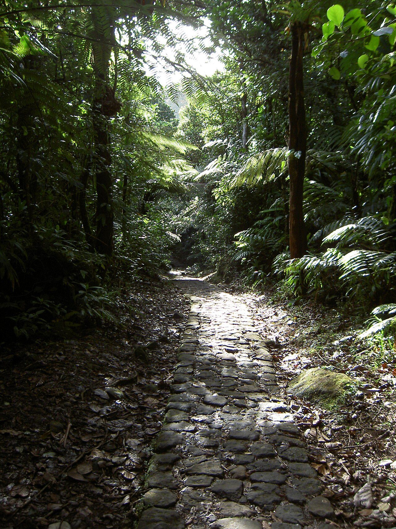
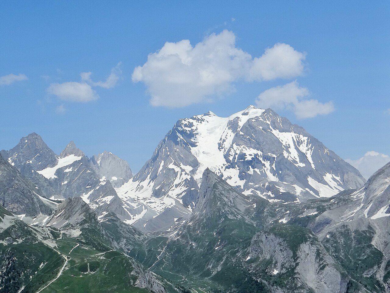
Photo: No machine-readable author provided. Ofol assumed (based on copyright claims). via Wikimedia Commons, CC BY 2.5. Cropped and resized for display.
Park facts
| Park type | National Park |
|---|---|
| Location | France |
| Area | 54,516 acres (22,062 ha) |
| Established | 1989 |
| Highest point | Soufrière — 1,467 m (4,813 ft) |
| Coordinates | 16.0833° N, 61.6833° W |
Every fact above is taken from the sources listed below; anything no source states is left blank rather than guessed.
About Guadeloupe National Park
Guadeloupe National Park (French: Parc national de la Guadeloupe) is a national park in Guadeloupe, an overseas department of France located in the Leeward Islands of the eastern Caribbean region. The Grand Cul-de-Sac Marin Nature Reserve (French: Réserve Naturelle du Grand Cul-de-Sac Marin) is a marine protected area adjacent to the park and administered in conjunction with it. Together, these protected areas comprise the Guadeloupe Archipelago (French: l'Archipel de la Guadeloupe) biosphere reserve.
Description from the park's Wikipedia article (CC BY-SA), linked in the sources below.
Airports near this park
The airports a visitor would actually fly into, nearest first — each link opens its profile on our sister site AirportProfiles.
- Maryse Condé International Airport (PTP) · Pointe-à-Pitre, Guadeloupe · 16.1 miles away
- John A. Osborne Airport (MNI) · Gerald's Park, Montserrat · 59.5 miles away
- V. C. Bird International Airport (ANU) · Osbourn, Antigua and Barbuda · 73.1 miles away
Parks nearby
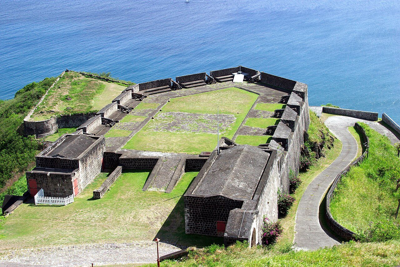
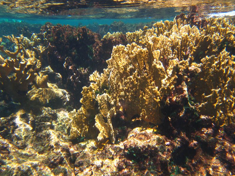
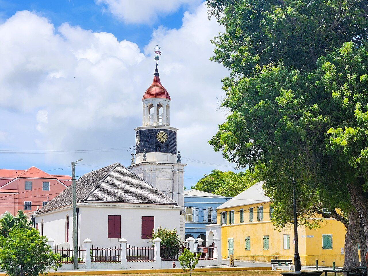
More parks in France
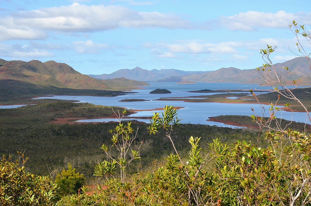

Frequently asked questions
Where is Guadeloupe National Park?
Guadeloupe National Park is in France (16.0833° N, 61.6833° W).
When was Guadeloupe National Park established?
Guadeloupe National Park was established in 1989, per the source listed at the foot of this page.
How big is Guadeloupe National Park?
Guadeloupe National Park covers 54,516 acres (22,062 ha).
What is the highest point in Guadeloupe National Park?
The highest point is Soufrière, at 1,467 metres (4,813 ft).
Sources
- https://www.wikidata.org/wiki/Q1028479 — Wikidata (CC0) — name, country, coordinates, area, established year, highest point where stated.
- https://en.wikipedia.org/wiki/Guadeloupe_National_Park — Wikipedia article — description (CC BY-SA).