
Protected Area · France
Guiana Amazonian Park
Guiana Amazonian Park is a protected area in France, covering 5,000,341 acres (2,023,568 ha), established in 2007.
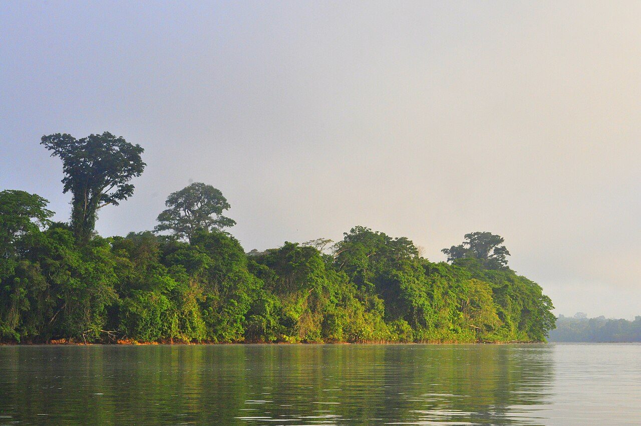
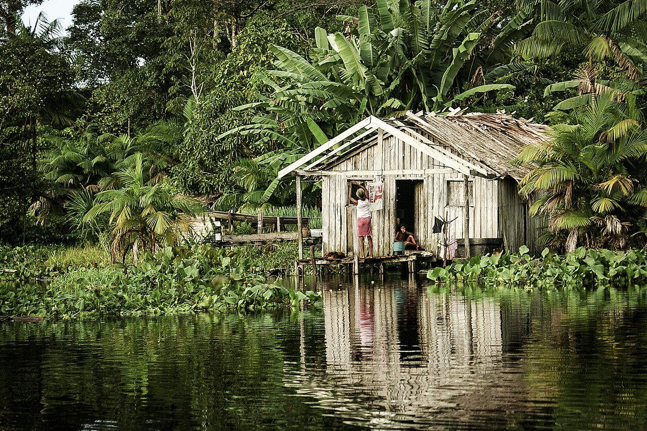
Photo: Maurizio Alì via Wikimedia Commons, CC BY-SA 4.0. Cropped and resized for display.
Park facts
| Park type | Protected Area |
|---|---|
| Location | France |
| Area | 5,000,341 acres (2,023,568 ha) |
| Established | 2007 |
| Highest point | Bellevue de l'Inini — 831 m (2,726 ft) |
| Coordinates | 2.8383° N, 53.7722° W |
Every fact above is taken from the sources listed below; anything no source states is left blank rather than guessed.
About Guiana Amazonian Park
Guiana Amazonian Park (French: Parc amazonien de Guyane) is the largest national park of France, aiming at protecting part of the Amazonian forest located in French Guiana which covers 41% of the region. It is the largest park in France as well as the largest park in the European Union and one of the largest national parks in the world. It cannot be accessed from the seashore or by any means other than airplane or pirogue via the Maroni and Oyapock rivers.
Description from the park's Wikipedia article (CC BY-SA), linked in the sources below.
Airports near this park
The airports a visitor would actually fly into, nearest first — each link opens its profile on our sister site AirportProfiles.
- Maripasoula Airport (MPY) · Maripasoula, French Guiana · 59.4 miles away
Parks nearby
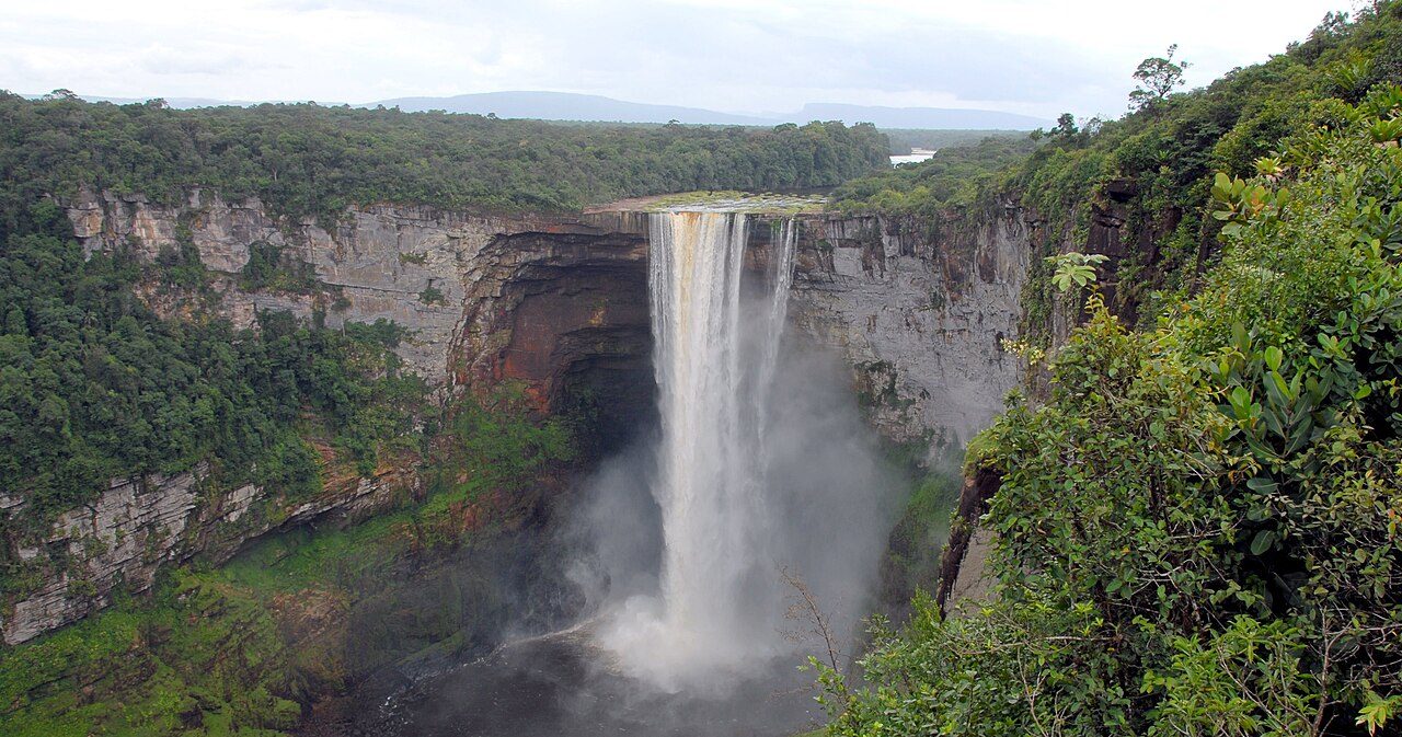
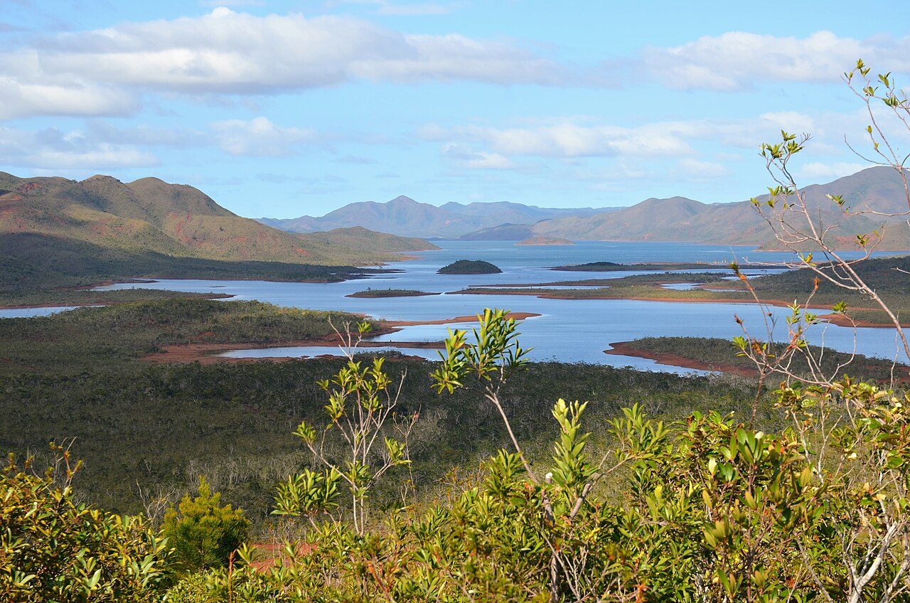
More parks in France
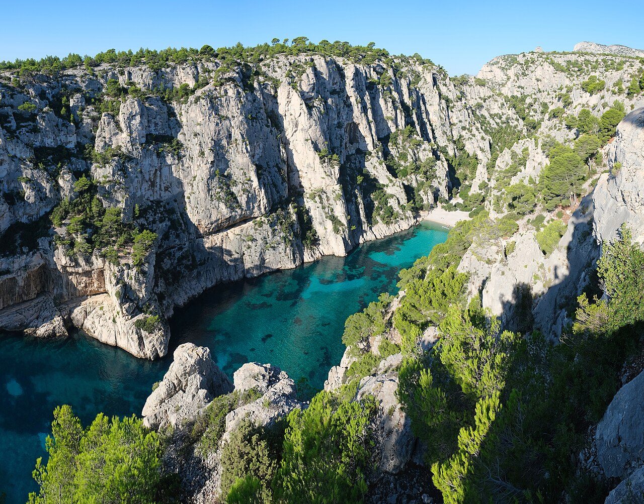

Frequently asked questions
Where is Guiana Amazonian Park?
Guiana Amazonian Park is in France (2.8383° N, 53.7722° W).
When was Guiana Amazonian Park established?
Guiana Amazonian Park was established in 2007, per the source listed at the foot of this page.
How big is Guiana Amazonian Park?
Guiana Amazonian Park covers 5,000,341 acres (2,023,568 ha).
What is the highest point in Guiana Amazonian Park?
The highest point is Bellevue de l'Inini, at 831 metres (2,726 ft).
Sources
- https://www.wikidata.org/wiki/Q665459 — Wikidata (CC0) — name, country, coordinates, area, established year, highest point where stated.
- https://en.wikipedia.org/wiki/Guiana_Amazonian_Park — Wikipedia article — description (CC BY-SA).