
National Park · Thailand
Hat Wanakon National Park
Hat Wanakon National Park is a national park in Thailand, established in 1992.
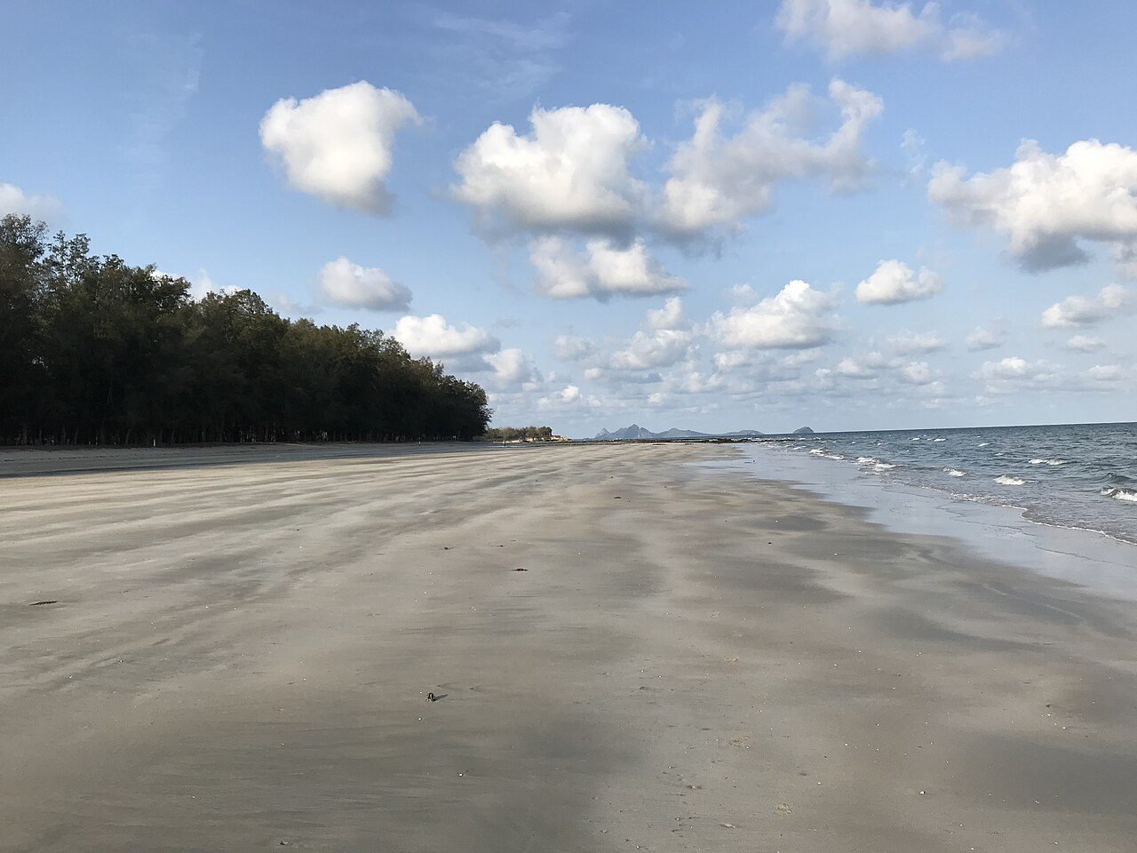
Photo: Geonuch via Wikimedia Commons, CC BY-SA 4.0. Cropped and resized for display.
Park facts
| Park type | National Park |
|---|---|
| Location | Thailand |
| Established | 1992 |
| Coordinates | 11.6525° N, 99.7049° E |
Every fact above is taken from the sources listed below; anything no source states is left blank rather than guessed.
About Hat Wanakon National Park
Hat Wanakon National Park (Thai: อุทยานแห่งชาติหาดวนกร) is a sand beach and marine national park in Prachuap Khiri Khan Province, western Thailand. It overlaps two districts of Prachuap Khiri Khan: Mueang Prachuap Khriri Khan and Thap Sakae, with an area of 23,750 rai ~ 38 square kilometres (15 sq mi). The beach is on Petchkasem Road (Highway 4) about 23 km (14 mi) from Prachuap Khiri Khan town towards Thap Sakae, about 300 km (186 mi) from Bangkok.
Description from the park's Wikipedia article (CC BY-SA), linked in the sources below.
Airports near this park
The airports a visitor would actually fly into, nearest first — each link opens its profile on our sister site AirportProfiles.
- U-Tapao–Rayong–Pattaya International Airport (UTP) · Rayong, Thailand · 112.9 miles away
- Samui International Airport (USM) · Na Thon (Ko Samui Island), Thailand · 147.4 miles away
Parks nearby
More parks in Thailand



Frequently asked questions
Where is Hat Wanakon National Park?
Hat Wanakon National Park is in Thailand (11.6525° N, 99.7049° E).
When was Hat Wanakon National Park established?
Hat Wanakon National Park was established in 1992, per the source listed at the foot of this page.
Sources
- https://www.wikidata.org/wiki/Q6652850 — Wikidata (CC0) — name, country, coordinates, area, established year, highest point where stated.
- https://en.wikipedia.org/wiki/Hat_Wanakon_National_Park — Wikipedia article — description (CC BY-SA).