
National Park · Thailand
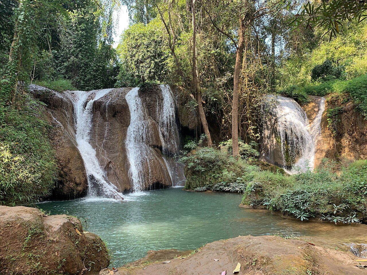
Nam Tok Huai Yang National Park
Nam Tok Huai Yang National Park is a national park in Thailand, established in 1991.
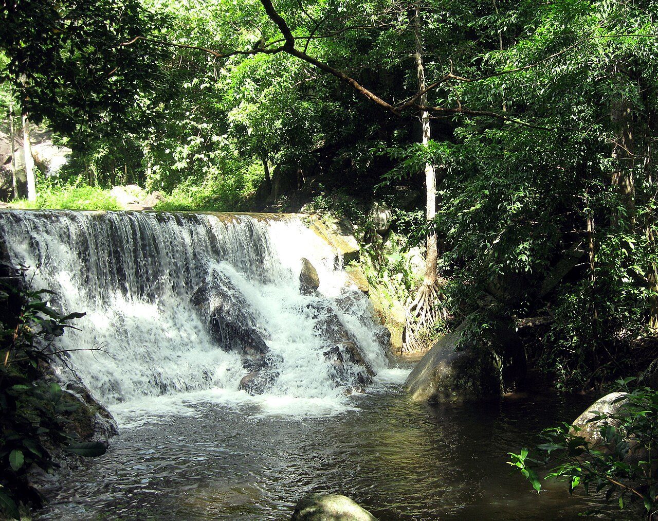
Photo: ::::=UT=:::: via Wikimedia Commons, CC BY-SA 3.0. Cropped and resized for display.
Park facts
| Park type | National Park |
|---|---|
| Location | Thailand |
| Established | 1991 |
| Coordinates | 11.6255° N, 99.6146° E |
Every fact above is taken from the sources listed below; anything no source states is left blank rather than guessed.
About Nam Tok Huai Yang National Park
Namtok Huai Yang National Park (Thai: อุทยานแห่งชาติน้ำตกห้วยยาง, RTGS: Utthayan Haeng Chat Namtok Huai Yang, pronounced [ʔùt.tʰā.jāːn hɛ̀ŋ tɕʰâːt nám.tòk hûaj jāːŋ]) is a national park in Thailand, consisting of several waterfalls and forests on the mountain range bordering Thailand and Myanmar.
Description from the park's Wikipedia article (CC BY-SA), linked in the sources below.
Airports near this park
The airports a visitor would actually fly into, nearest first — each link opens its profile on our sister site AirportProfiles.
- U-Tapao–Rayong–Pattaya International Airport (UTP) · Rayong, Thailand · 118.9 miles away
- Samui International Airport (USM) · Na Thon (Ko Samui Island), Thailand · 146.7 miles away
Parks nearby
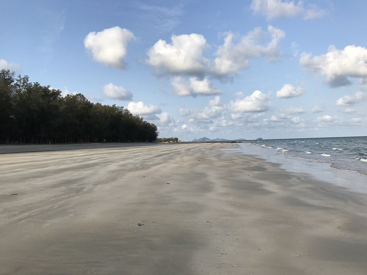
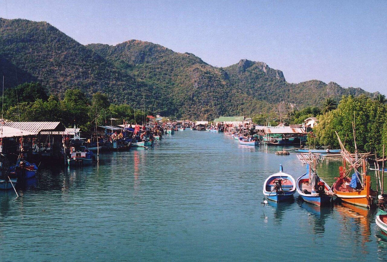
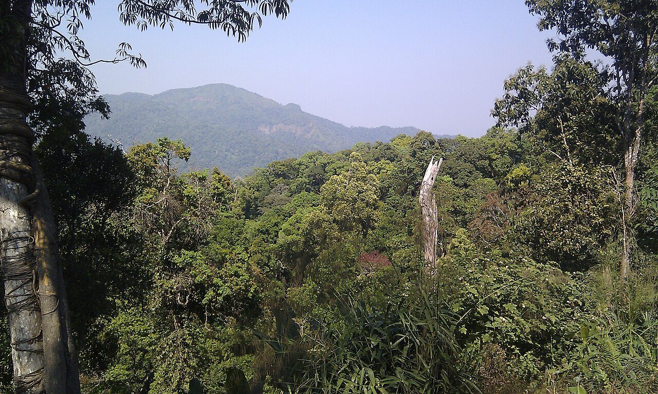
More parks in Thailand




Frequently asked questions
Where is Nam Tok Huai Yang National Park?
Nam Tok Huai Yang National Park is in Thailand (11.6255° N, 99.6146° E).
When was Nam Tok Huai Yang National Park established?
Nam Tok Huai Yang National Park was established in 1991, per the source listed at the foot of this page.
Sources
- https://www.wikidata.org/wiki/Q12666284 — Wikidata (CC0) — name, country, coordinates, area, established year, highest point where stated.
- https://en.wikipedia.org/wiki/Namtok_Huai_Yang_National_Park — Wikipedia article — description (CC BY-SA).