
Provincial Park · Canada
Lac La Ronge Provincial Park
Lac La Ronge Provincial Park is a provincial park in Canada, established in 1939.
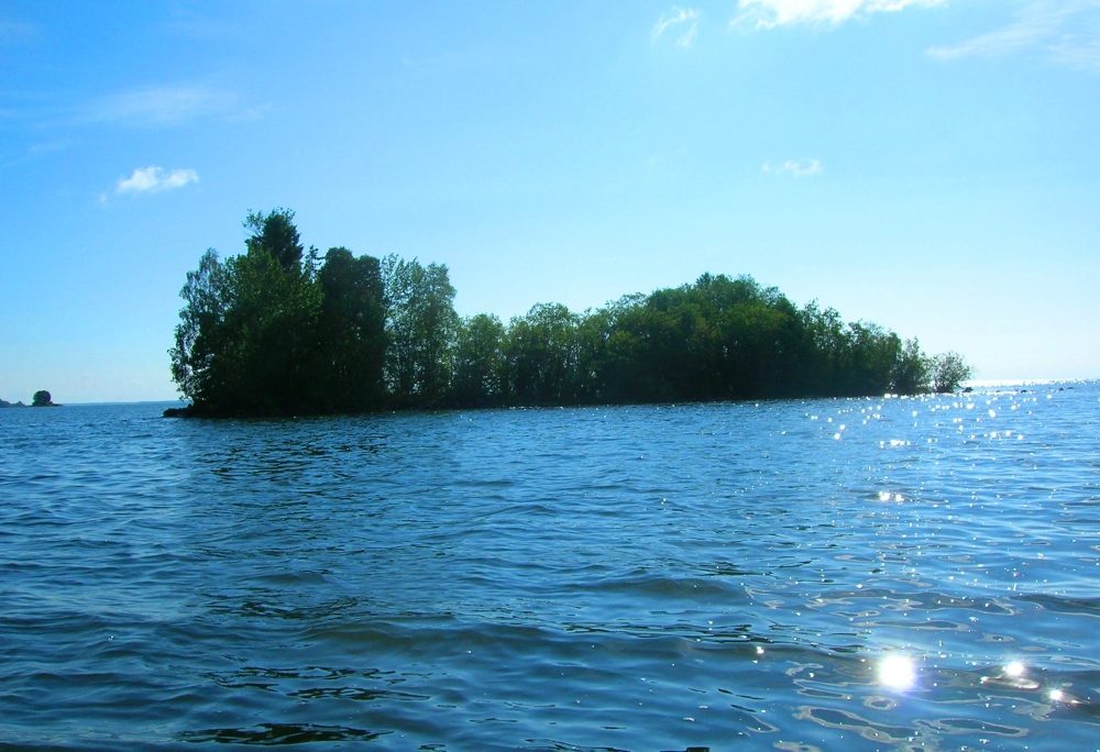
Photo: Darren Kirby via Wikimedia Commons, CC BY-SA 2.0. Cropped and resized for display.
Park facts
| Park type | Provincial Park |
|---|---|
| Location | Canada |
| Established | 1939 |
| Coordinates | 55.3581° N, 104.7936° W |
Every fact above is taken from the sources listed below; anything no source states is left blank rather than guessed.
About Lac La Ronge Provincial Park
Lac La Ronge Provincial Park is located in the boreal forest of the north central part of the Canadian province of Saskatchewan within the Canadian Shield. Situated in the Churchill River system, this provincial park has close to 100 lakes and more than 30 canoe routes, many of which follow old fur trade routes. Summer activities include camping, hiking, boating, fishing, and swimming. In the winter, there's cross-country skiing, snowmobiling, and ice fishing. One of Saskatchewan's highest waterfalls is in the park. The Nistowiak Falls are located north of Lac La Ronge along the Rapid River.
Description from the park's Wikipedia article (CC BY-SA), linked in the sources below.
Planning your visit
What to do
Airports near this park
The airports a visitor would actually fly into, nearest first — each link opens its profile on our sister site AirportProfiles.
- La Ronge Airport (YVC) · La Ronge, Canada · 23.3 miles away
Parks nearby
More parks in Canada









Frequently asked questions
Where is Lac La Ronge Provincial Park?
Lac La Ronge Provincial Park is in Canada (55.3581° N, 104.7936° W).
When was Lac La Ronge Provincial Park established?
Lac La Ronge Provincial Park was established in 1939, per the source listed at the foot of this page.
Sources
- https://www.wikidata.org/wiki/Q6467857 — Wikidata (CC0) — name, country, coordinates, area, established year, highest point where stated.
- https://en.wikipedia.org/wiki/Lac_La_Ronge_Provincial_Park — Wikipedia article — description (CC BY-SA).