
National Park · Canada
Prince Albert National Park
Prince Albert National Park is a national park in Canada, covering 957,433 acres (387,460 ha), established in 1927.
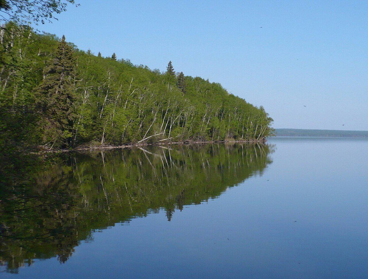
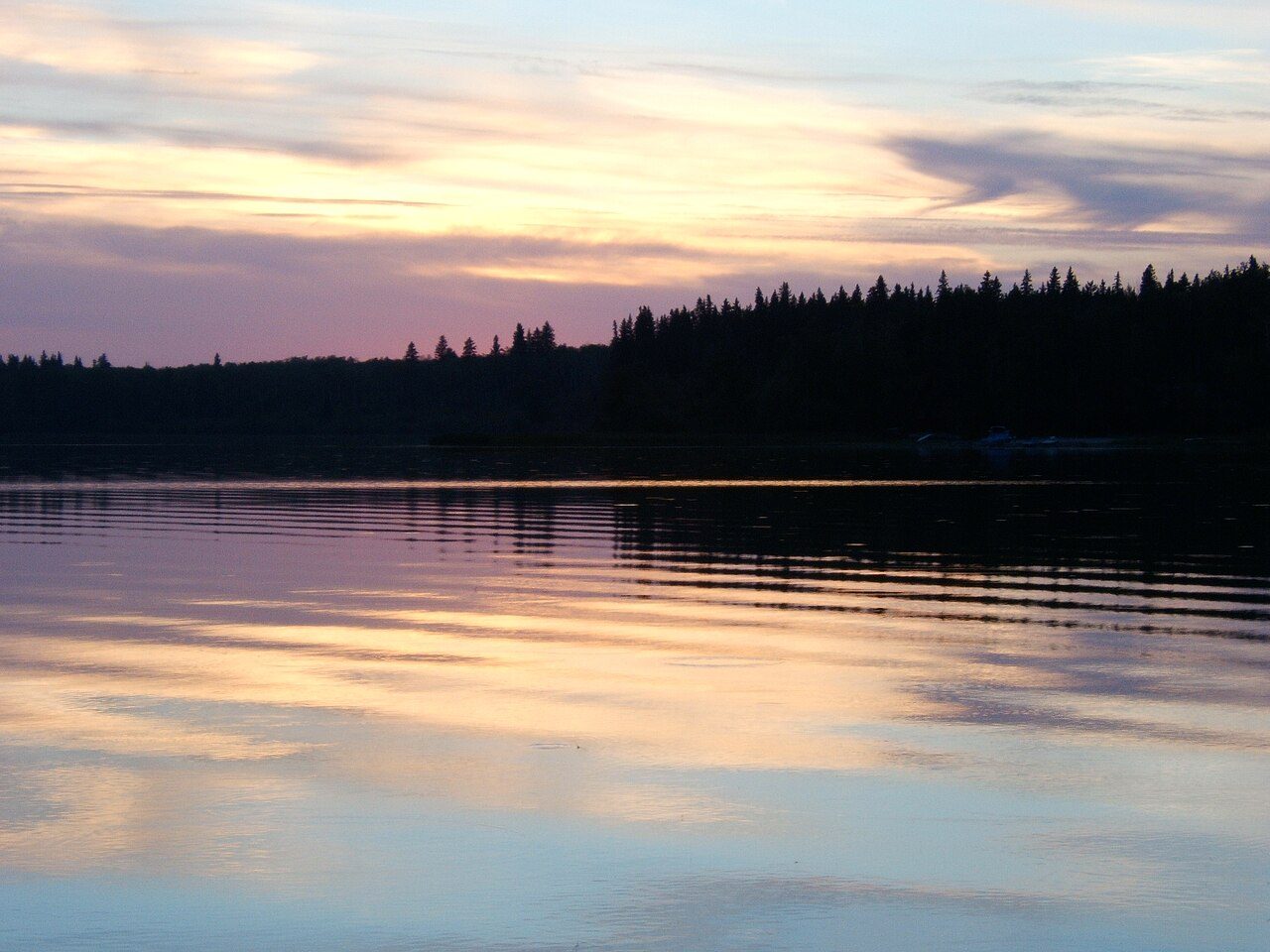
Photo: Paul Gierszewski via Wikimedia Commons, Public domain. Cropped and resized for display.
Park facts
| Park type | National Park |
|---|---|
| Location | Canada |
| Area | 957,433 acres (387,460 ha) |
| Established | 1927 |
| Coordinates | 53.9633° N, 106.3700° W |
Every fact above is taken from the sources listed below; anything no source states is left blank rather than guessed.
About Prince Albert National Park
Prince Albert National Park encompasses 3,874 square kilometres (1,496 mi2) in central Saskatchewan, Canada and is about 200 kilometres (120 mi) north of Saskatoon. Though declared a national park March 24, 1927, official opening ceremonies weren't performed by Prime Minister William Lyon Mackenzie King until August 10, 1928. This park is open all year but the most visited period is from May to September. Although named for the city of Prince Albert, the park's main entrance is actually 80 kilometres (50 mi) north of that city via Highways 2 and 263, which enters the park at its southeast corner.
Description from the park's Wikipedia article (CC BY-SA), linked in the sources below.
Airports near this park
The airports a visitor would actually fly into, nearest first — each link opens its profile on our sister site AirportProfiles.
- Saskatoon John G. Diefenbaker International Airport (YXE) · Saskatoon, Canada · 124.6 miles away
Parks nearby
More parks in Canada









Frequently asked questions
Where is Prince Albert National Park?
Prince Albert National Park is in Canada (53.9633° N, 106.3700° W).
When was Prince Albert National Park established?
Prince Albert National Park was established in 1927, per the source listed at the foot of this page.
How big is Prince Albert National Park?
Prince Albert National Park covers 957,433 acres (387,460 ha).
Sources
- https://www.wikidata.org/wiki/Q1122878 — Wikidata (CC0) — name, country, coordinates, area, established year, highest point where stated.
- https://en.wikipedia.org/wiki/Prince_Albert_National_Park — Wikipedia article — description (CC BY-SA).