
Provincial Park · Canada
Otoskwin-Attawapiskat River Provincial Park
Otoskwin-Attawapiskat River Provincial Park is a provincial park in Canada, covering 203,933 acres (82,529 ha), established in 1989.
Provincial Park · Canada
No freely licensed photograph of this park is in our library yet — rather than borrow a picture of somewhere else, this profile leads with its verified facts.
Park facts
| Park type | Provincial Park |
|---|---|
| Location | Canada |
| Area | 203,933 acres (82,529 ha) |
| Established | 1989 |
| Coordinates | 52.1714° N, 87.5839° W |
Every fact above is taken from the sources listed below; anything no source states is left blank rather than guessed.
Planning your visit
What to do
Airports near this park
The airports a visitor would actually fly into, nearest first — each link opens its profile on our sister site AirportProfiles.
- Kasabonika Airport (XKS) · Kasabonika, Canada · 103.4 miles away
- Pickle Lake Airport (YPL) · Pickle Lake, Canada · 123.0 miles away
- Nakina Airport (YQN) · Nakina, Canada · 142.7 miles away
Parks nearby
Pipestone River Provincial Park
St. Raphael Provincial Park
Obonga-Ottertooth Provincial Park
Lake Nipigon Provincial Park
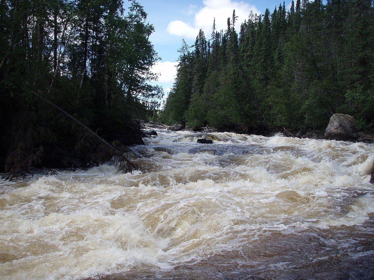
Nagagamisis Provincial Park

Fushimi Lake Provincial Park
More parks in Canada








Frequently asked questions
Where is Otoskwin-Attawapiskat River Provincial Park?
Otoskwin-Attawapiskat River Provincial Park is in Canada (52.1714° N, 87.5839° W).
When was Otoskwin-Attawapiskat River Provincial Park established?
Otoskwin-Attawapiskat River Provincial Park was established in 1989, per the source listed at the foot of this page.
How big is Otoskwin-Attawapiskat River Provincial Park?
Otoskwin-Attawapiskat River Provincial Park covers 203,933 acres (82,529 ha).
Sources
- https://www.wikidata.org/wiki/Q22452953 — Wikidata (CC0) — name, country, coordinates, area, established year, highest point where stated.
- https://en.wikipedia.org/wiki/Otoskwin%E2%80%93Attawapiskat_River_Provincial_Park — Activities offered, as stated by the source.