
National Park · Malaysia
Tunku Abdul Rahman National Park
Tunku Abdul Rahman National Park is a national park in Malaysia, covering 12,180 acres (4,929 ha), established in 1974.
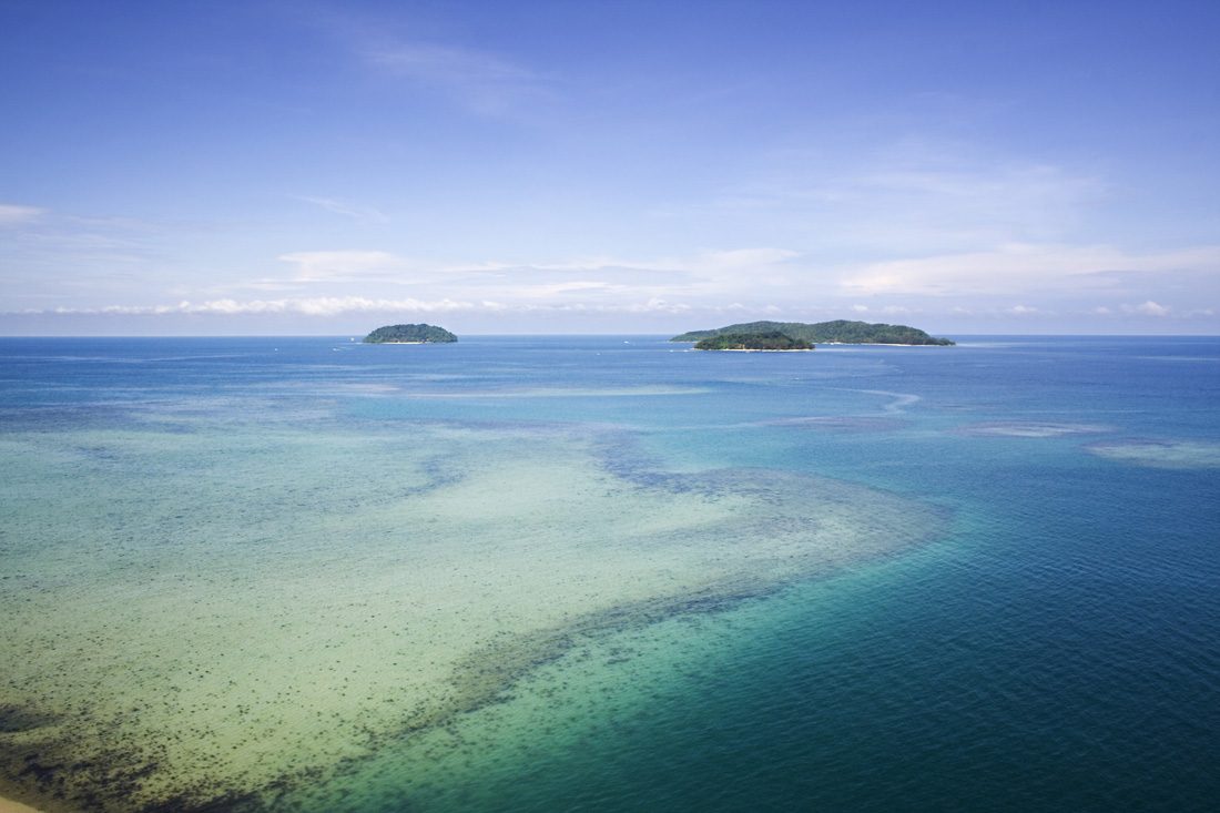
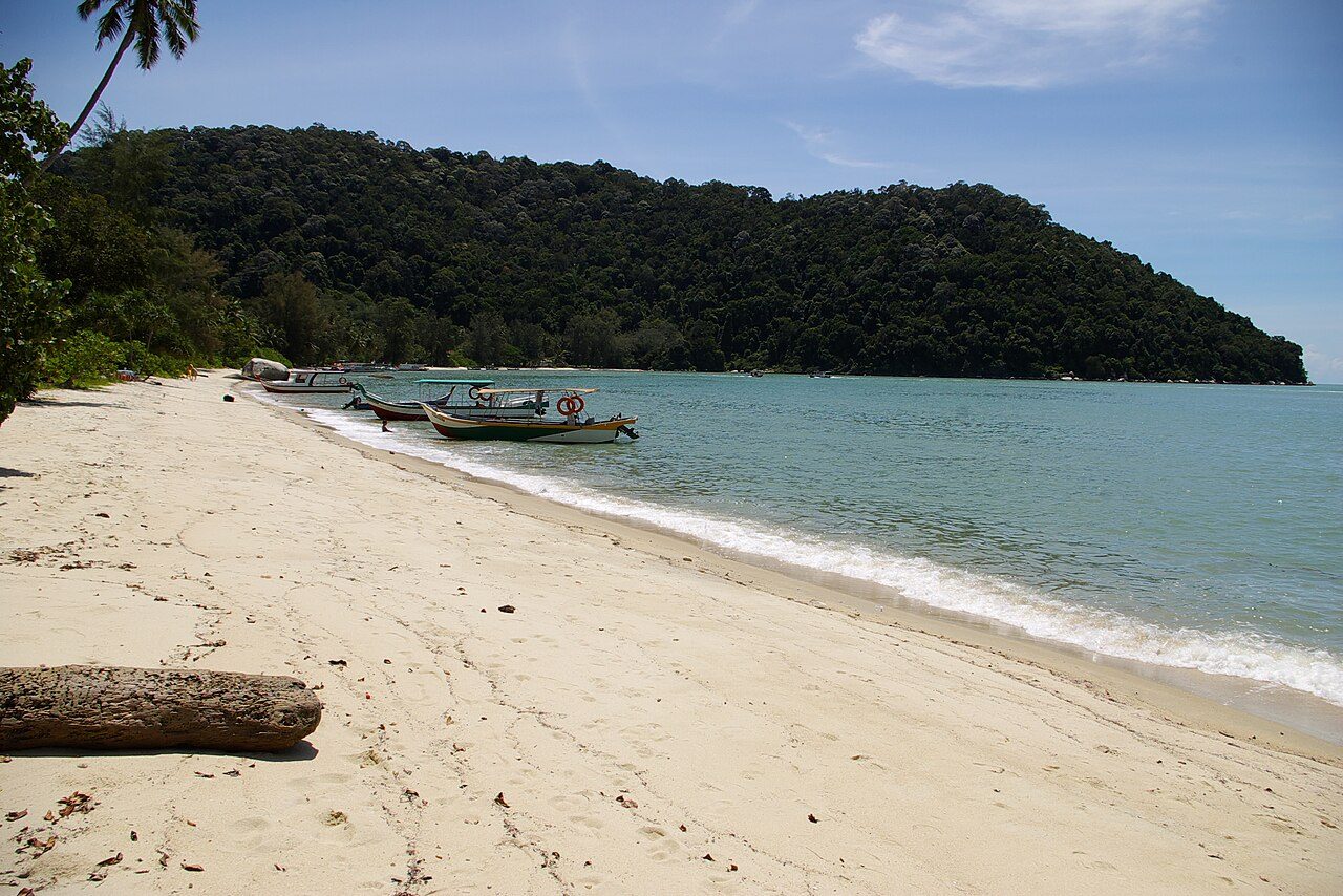
Photo: Flanegan via Wikimedia Commons, CC BY 3.0. Cropped and resized for display.
Park facts
| Park type | National Park |
|---|---|
| Location | Malaysia |
| Area | 12,180 acres (4,929 ha) |
| Established | 1974 |
| Coordinates | 5.9667° N, 116.0000° E |
Every fact above is taken from the sources listed below; anything no source states is left blank rather than guessed.
About Tunku Abdul Rahman National Park
The Tunku Abdul Rahman National Park (Malay: Taman Negara Tunku Abdul Rahman) comprises a group of five islands located between 3 and 8 km off Kota Kinabalu in Sabah, Malaysia. The park is spread over 4,929 hectares, two-thirds of which cover the sea. Before the Ice age, it formed part of the Crocker Range mass of sandstone and sedimentary rock on the mainland. However, about one million years ago, the melting ice brought about changes in the sea level and parts of the mainland were cut off by the sea to form the islands of Gaya, Sapi, Manukan, Mamutik and Sulug.
Description from the park's Wikipedia article (CC BY-SA), linked in the sources below.
Airports near this park
The airports a visitor would actually fly into, nearest first — each link opens its profile on our sister site AirportProfiles.
- Kota Kinabalu International Airport (BKI) · Kota Kinabalu, Malaysia · 4.1 miles away
- Brunei International Airport (BWN) · Bandar Seri Begawan, Brunei · 102.1 miles away
Parks nearby
More parks in Malaysia

Frequently asked questions
Where is Tunku Abdul Rahman National Park?
Tunku Abdul Rahman National Park is in Malaysia (5.9667° N, 116.0000° E).
When was Tunku Abdul Rahman National Park established?
Tunku Abdul Rahman National Park was established in 1974, per the source listed at the foot of this page.
How big is Tunku Abdul Rahman National Park?
Tunku Abdul Rahman National Park covers 12,180 acres (4,929 ha).
Sources
- https://www.wikidata.org/wiki/Q1097024 — Wikidata (CC0) — name, country, coordinates, area, established year, highest point where stated.
- https://en.wikipedia.org/wiki/Tunku_Abdul_Rahman_National_Park — Wikipedia article — description (CC BY-SA).