
National Park · Canada
Ukkusiksalik National Park
Ukkusiksalik National Park is a national park in Canada, covering 5,161,000 acres (2,088,585 ha), established in 2014.
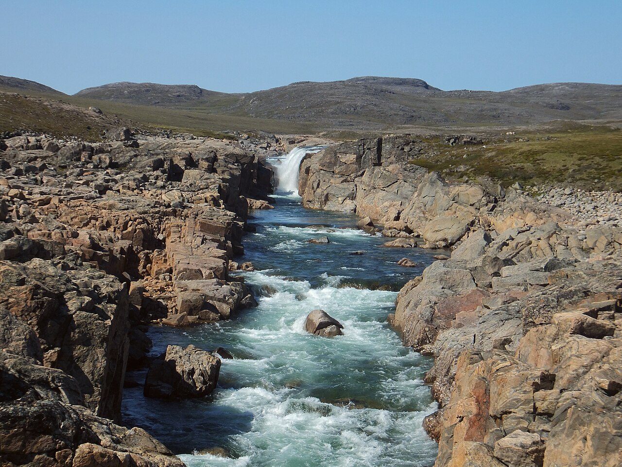
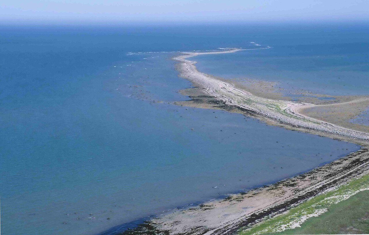
Photo: Paul Gierszewski ( Gierszep ) via Wikimedia Commons, CC BY-SA 4.0. Cropped and resized for display.
Park facts
| Park type | National Park |
|---|---|
| Location | Canada |
| Area | 5,161,000 acres (2,088,585 ha) |
| Established | 2014 |
| Coordinates | 65.4986° N, 87.8953° W |
Every fact above is taken from the sources listed below; anything no source states is left blank rather than guessed.
About Ukkusiksalik National Park
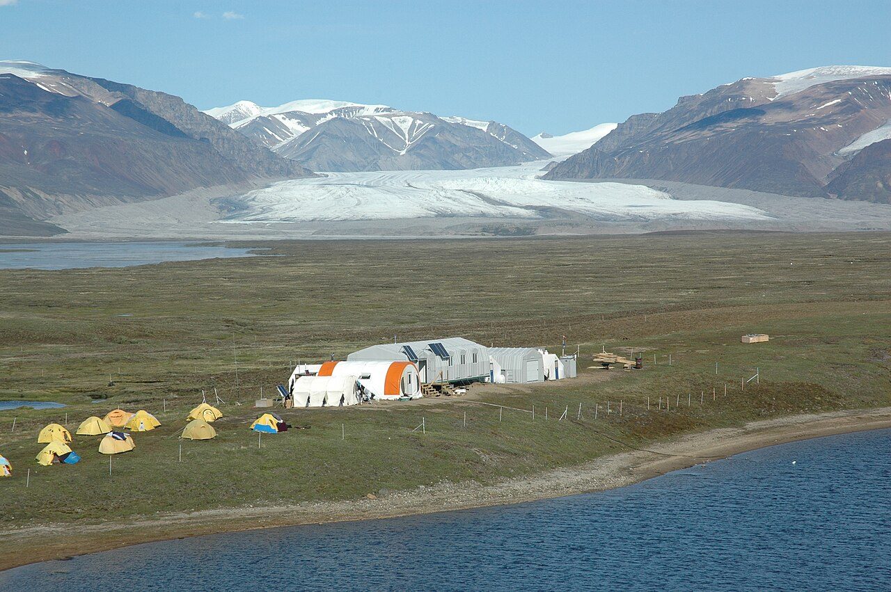
Ukkusiksalik National Park () is a national park in Nunavut, Canada. It covers 20,885 km2 (8,064 sq mi) of tundra and coastal mudflats south of the Arctic Circle and the hamlet of Naujaat (formerly Repulse Bay), from Hudson Bay's Roes Welcome Sound towards the western Barrenlands and the source of Brown River. The park surrounds Wager Bay, a 100 km (62 mi)-long inlet on the Hudson Bay. Although the smallest of Nunavut's four national parks, it is the sixth largest in Canada. Its name relates to steatite found there: Ukkusiksalik means "where there is material for the stone pot" (from ukkusik, meaning pot or saucepan like qulliq).
Description from the park's Wikipedia article (CC BY-SA), linked in the sources below.
Airports near this park
The airports a visitor would actually fly into, nearest first — each link opens its profile on our sister site AirportProfiles.
- Naujaat Airport (YUT) · Repulse Bay, Canada · 84.8 miles away
Parks nearby
More parks in Canada









Frequently asked questions
Where is Ukkusiksalik National Park?
Ukkusiksalik National Park is in Canada (65.4986° N, 87.8953° W).
When was Ukkusiksalik National Park established?
Ukkusiksalik National Park was established in 2014, per the source listed at the foot of this page.
How big is Ukkusiksalik National Park?
Ukkusiksalik National Park covers 5,161,000 acres (2,088,585 ha).
Sources
- https://www.wikidata.org/wiki/Q862318 — Wikidata (CC0) — name, country, coordinates, area, established year, highest point where stated.
- https://en.wikipedia.org/wiki/Ukkusiksalik_National_Park — Wikipedia article — description (CC BY-SA).