
State Park · North Carolina, United States
Frutchey State Park [ 40 ]
Frutchey State Park [ 40 ] is a state park in North Carolina, United States, covering 53.0 acres (21.4 ha), established in 1937.
State Park · North Carolina, United States
No freely licensed photograph of this park is in our library yet — rather than borrow a picture of somewhere else, this profile leads with its verified facts.
Park facts
| Park type | State Park |
|---|---|
| Location | Piedmont, North Carolina, United States |
| Area | 53.0 acres (21.4 ha) |
| Established | 1937 |
| Coordinates | 35.1828° N, 79.9295° W |
| Managed by | North Carolina state park system |
Every fact above is taken from the sources listed below; anything no source states is left blank rather than guessed.
About Frutchey State Park [ 40 ]
Town Creek Indian Mound (31 MG 2) is a prehistoric Native American archaeological site located near present-day Mount Gilead, Montgomery County, North Carolina, in the United States. The site, whose main features are a 15 feet high platform mound with a surrounding village and wooden defensive palisade, was built by the Pee Dee, a South Appalachian Mississippian culture people (a regional variation of the Mississippian culture) that developed in the region as early as 980 CE. They thrived in the Pee Dee River region of North and South Carolina during the Pre-Columbian era.
Description from the park's Wikipedia article (CC BY-SA), linked in the sources below.
Airports near this park
The airports a visitor would actually fly into, nearest first — each link opens its profile on our sister site AirportProfiles.
- Charlotte Douglas International Airport (CLT) · Charlotte, United States · 57.3 miles away
- Piedmont Triad International Airport (GSO) · Greensboro, United States · 63.3 miles away
- Raleigh-Durham International Airport (RDU) · Raleigh/Durham, United States · 80.2 miles away
Parks nearby
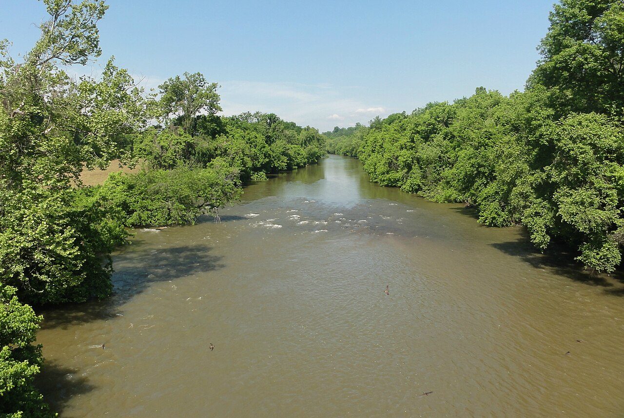
Yadkin River State Trail
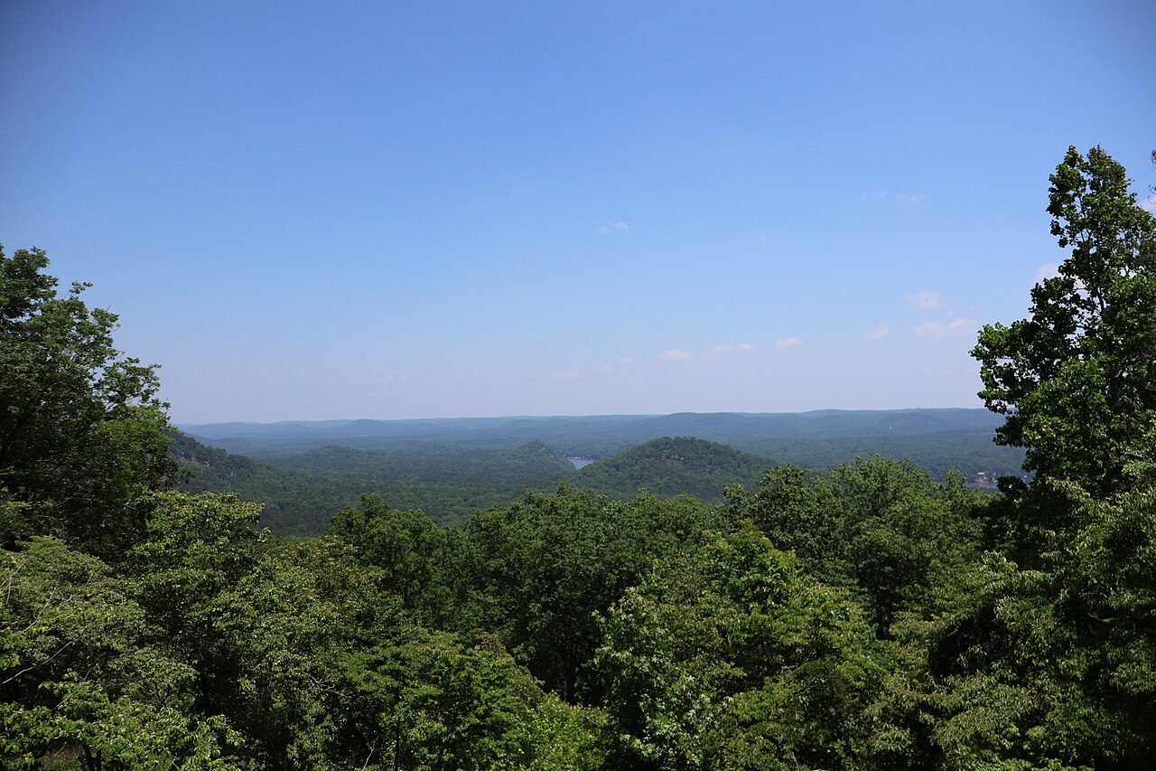
Morrow Mountain State Park
Weymouth Woods-Sandhills Nature Preserve
Cheraw State Park
H. Cooper Black Jr. Memorial Field Trial and Recreation Area
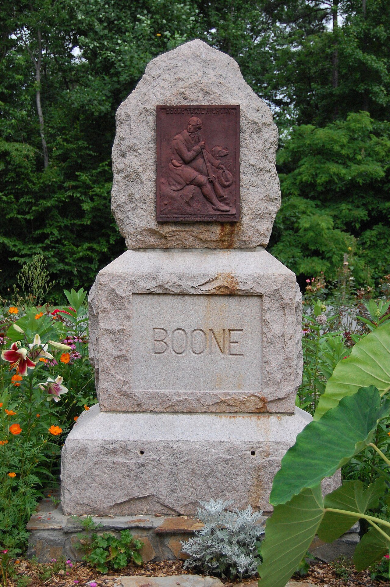
Boone's Cave State Park [ 36 ] [ 33 ]
More parks in North Carolina
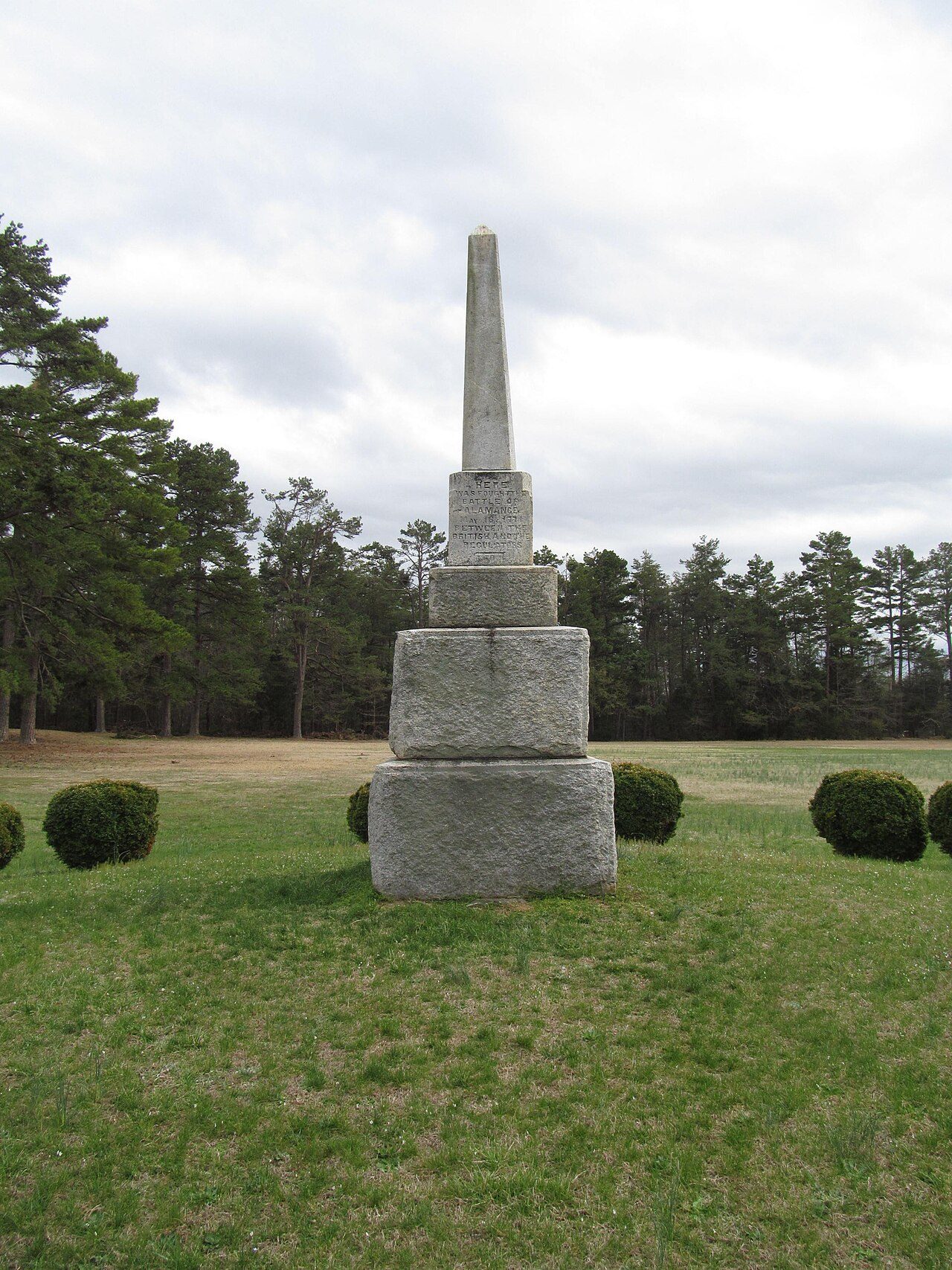
Frequently asked questions
Where is Frutchey State Park [ 40 ]?
Frutchey State Park [ 40 ] is in North Carolina, United States (35.1828° N, 79.9295° W).
When was Frutchey State Park [ 40 ] established?
Frutchey State Park [ 40 ] was established in 1937, per the source listed at the foot of this page.
How big is Frutchey State Park [ 40 ]?
Frutchey State Park [ 40 ] covers 53.0 acres (21.4 ha).
Sources
- https://en.wikipedia.org/wiki/List_of_North_Carolina_state_parks — Wikipedia list of North Carolina state parks — park name, county/location, size, year where the table states them.
- https://en.wikipedia.org/wiki/Town_Creek_Indian_Mound — Wikipedia article — description (CC BY-SA).