
State Park · Oregon, United States
Sheridan State Scenic Corridor
Sheridan State Scenic Corridor is a state park in Oregon, United States.
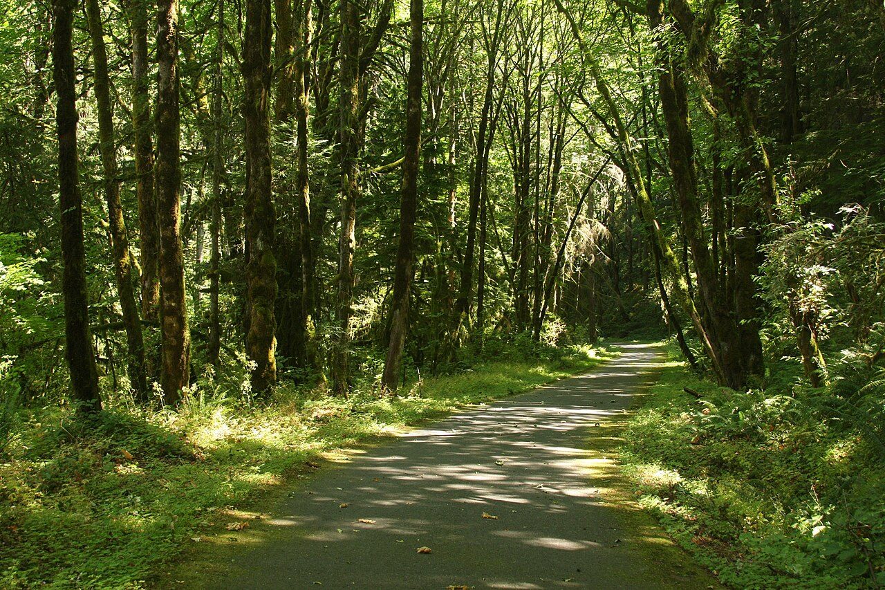
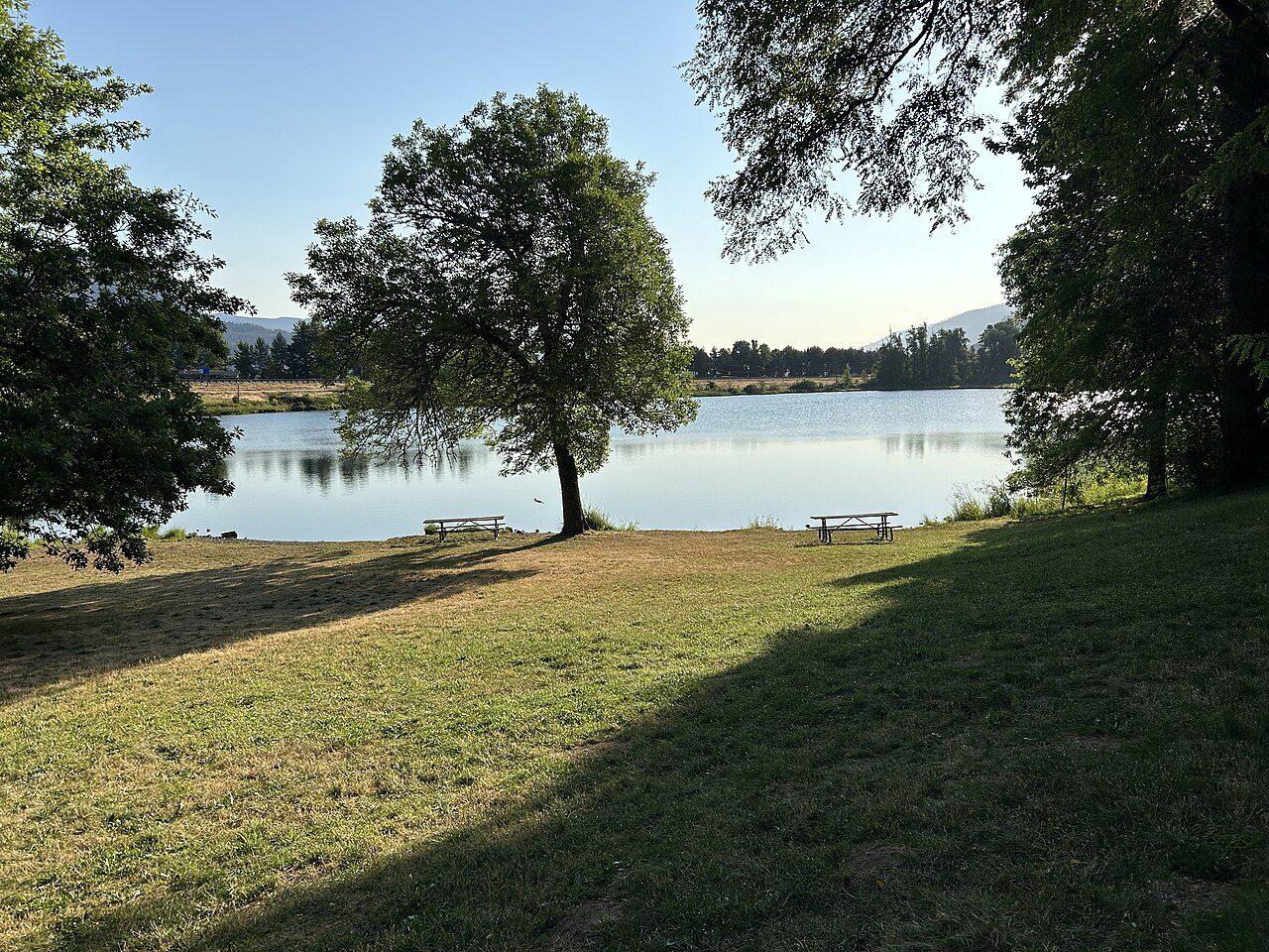
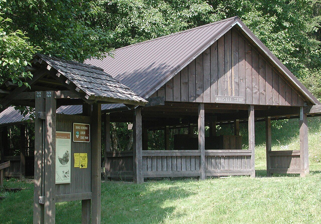
Photo: brx0 from Portland, USA via Wikimedia Commons, CC BY-SA 2.0. Cropped and resized for display.
Park facts
| Park type | State Park |
|---|---|
| Location | Portland/Columbia River Gorge, Oregon, United States |
| Coordinates | 45.6493° N, 121.9070° W |
| Managed by | Oregon state park system |
Every fact above is taken from the sources listed below; anything no source states is left blank rather than guessed.
About Sheridan State Scenic Corridor
Sheridan State Scenic Corridor is a state park in the Columbia River Gorge, west of Cascade Locks, Oregon. The 11-acre (4.5 ha) property, containing an old-growth forest, is located on the south side of Interstate 84 at approximately milepoint 42.5, and was not accessible by motor vehicle since I-84 was built in 1960. However, with the opening of the Eagle Creek-Cascade Locks segment of the Historic Columbia River Highway State Trail in 1998, it has become easily accessible by foot or bicycle. The park is on a triangular lot, surrounded by I-84 and the Mount Hood National Forest.
Description from the park's Wikipedia article (CC BY-SA), linked in the sources below.
Airports near this park
The airports a visitor would actually fly into, nearest first — each link opens its profile on our sister site AirportProfiles.
- Portland International Airport (PDX) · Portland, United States · 33.7 miles away
- Seattle–Tacoma International Airport (SEA) · Seattle, United States · 125.7 miles away
Parks nearby
More parks in Oregon

Frequently asked questions
Where is Sheridan State Scenic Corridor?
Sheridan State Scenic Corridor is in Oregon, United States (45.6493° N, 121.9070° W).
Sources
- https://en.wikipedia.org/wiki/List_of_Oregon_state_parks — Wikipedia list of Oregon state parks — park name, county/location, size, year where the table states them.
- https://en.wikipedia.org/wiki/Sheridan_State_Scenic_Corridor — Wikipedia article — description (CC BY-SA).