
State Park · Oregon, United States
Starvation Creek State Park
Starvation Creek State Park is a state park in Oregon, United States.
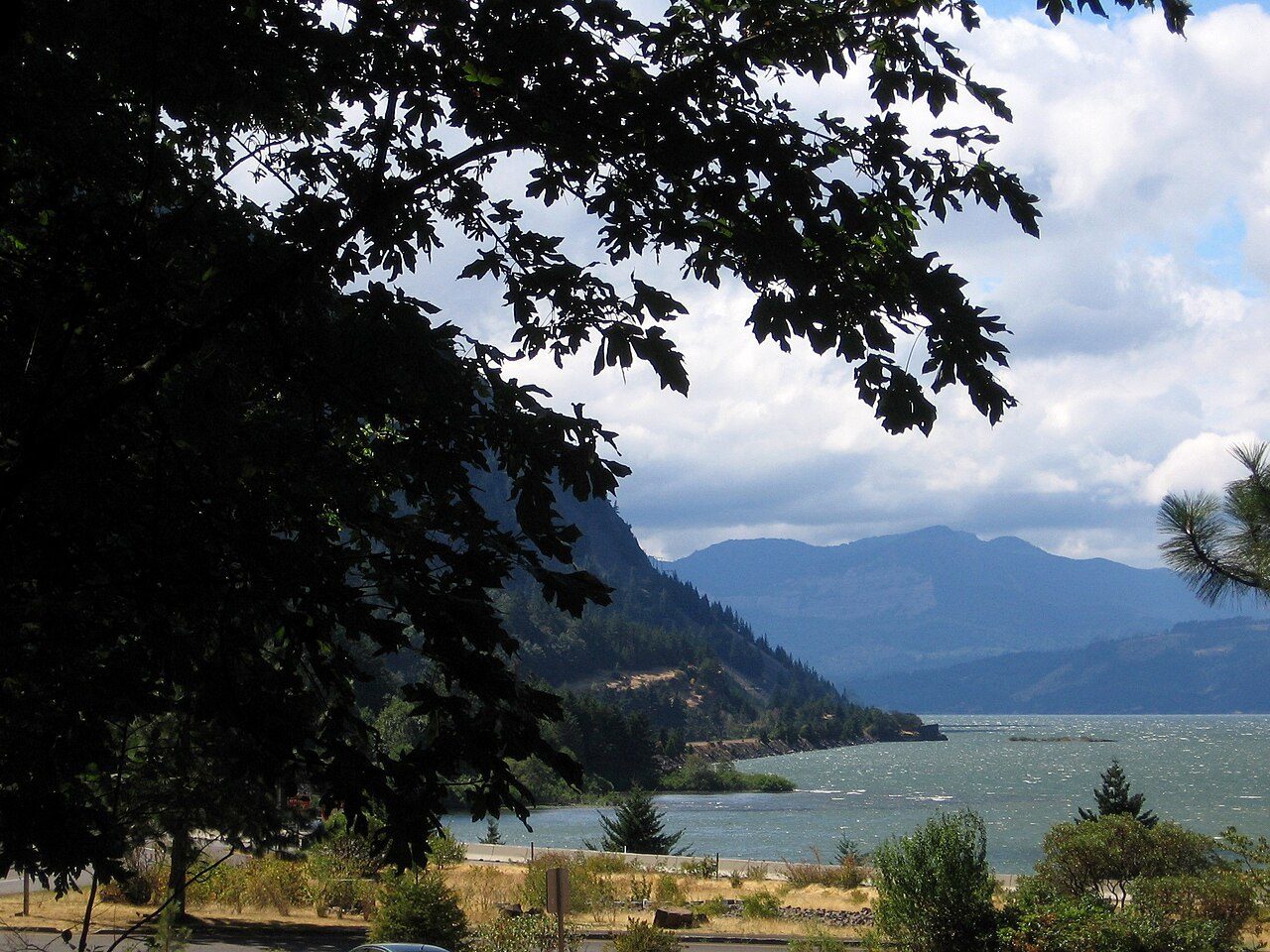
Photo: --b-- via Wikimedia Commons, CC BY-SA 2.0. Cropped and resized for display.
Park facts
| Park type | State Park |
|---|---|
| Location | Portland/Columbia River Gorge, Oregon, United States |
| Coordinates | 45.6882° N, 121.6890° W |
| Managed by | Oregon state park system |
Every fact above is taken from the sources listed below; anything no source states is left blank rather than guessed.
About Starvation Creek State Park
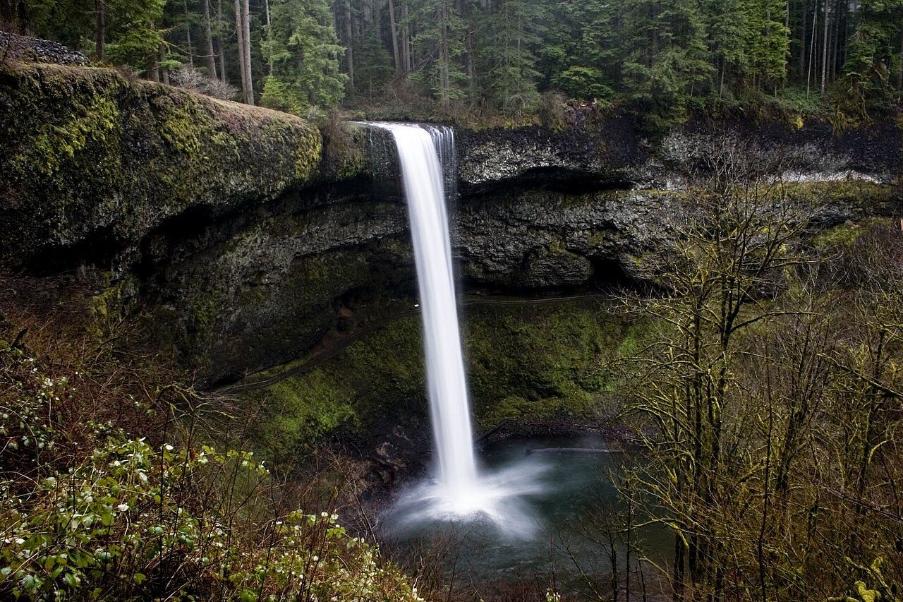
Starvation Creek State Park is a state park located west of Hood River, Oregon in the Columbia River Gorge. It was named Starvation Creek because a train was stopped there by snow drifts and passengers had to dig out the train. No documented starvation took place. Starvation Creek has a small waterfall and a trailhead for hiking.
Description from the park's Wikipedia article (CC BY-SA), linked in the sources below.
Planning your visit
What to do
Airports near this park
The airports a visitor would actually fly into, nearest first — each link opens its profile on our sister site AirportProfiles.
- Portland International Airport (PDX) · Portland, United States · 44.4 miles away
- Seattle–Tacoma International Airport (SEA) · Seattle, United States · 125.1 miles away
Parks nearby
Viento State Park
Wygant State Natural Area
Vinzenz Lausmann Memorial State Natural Area
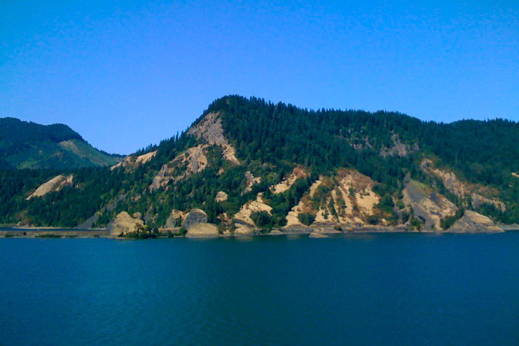
Seneca Fouts Memorial State Natural Area
Spring Creek Hatchery State Park
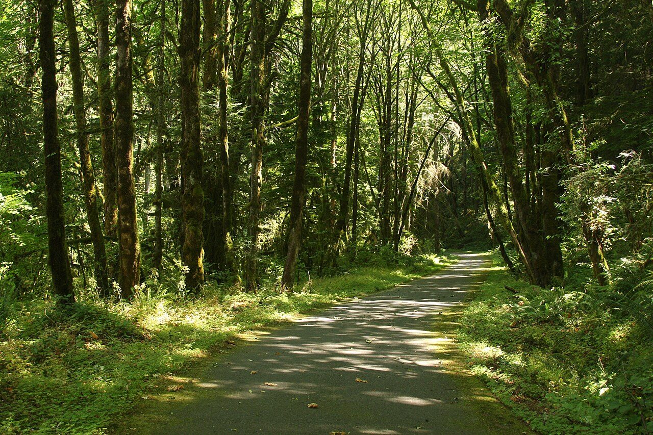
Sheridan State Scenic Corridor
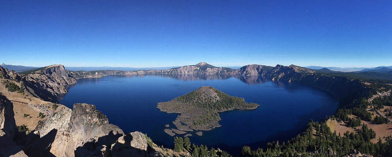
More parks in Oregon

Frequently asked questions
Where is Starvation Creek State Park?
Starvation Creek State Park is in Oregon, United States (45.6882° N, 121.6890° W).
Sources
- https://en.wikipedia.org/wiki/List_of_Oregon_state_parks — Wikipedia list of Oregon state parks — park name, county/location, size, year where the table states them.
- https://en.wikipedia.org/wiki/Starvation_Creek_State_Park — Wikipedia article — description (CC BY-SA).